298 N Rock Island Dr , 31024
Estimated Value: $800,000 - $1,120,000
--
Bed
1
Bath
2,144
Sq Ft
$456/Sq Ft
Est. Value
About This Home
This home is located at 298 N Rock Island Dr, , 31024 and is currently estimated at $977,667, approximately $456 per square foot. 298 N Rock Island Dr is a home with nearby schools including Putnam County Primary School, Putnam County Elementary School, and Putnam County Middle School.
Ownership History
Date
Name
Owned For
Owner Type
Purchase Details
Closed on
Aug 23, 2023
Sold by
Vaughn Alvin H Tr
Bought by
Vaughn Alvin H
Current Estimated Value
Purchase Details
Closed on
Sep 2, 2008
Sold by
Vaughn Paula
Bought by
Vaughn Alvin H
Purchase Details
Closed on
Apr 18, 1994
Sold by
Vaughn Alvin H and Vaughn Pau
Bought by
Vaughn Paula T
Purchase Details
Closed on
Nov 19, 1987
Sold by
Gruber Mark B
Bought by
Vaughn Alvin H and Vaughn Pau
Purchase Details
Closed on
Apr 16, 1984
Sold by
Putnam Holding Ltd
Bought by
Gruber Mark B
Create a Home Valuation Report for This Property
The Home Valuation Report is an in-depth analysis detailing your home's value as well as a comparison with similar homes in the area
Home Values in the Area
Average Home Value in this Area
Purchase History
| Date | Buyer | Sale Price | Title Company |
|---|---|---|---|
| Vaughn Alvin H | -- | -- | |
| Vaughn Alvin H | -- | -- | |
| Vaughn Paula T | -- | -- | |
| Vaughn Alvin H | $43,500 | -- | |
| Gruber Mark B | $17,500 | -- |
Source: Public Records
Tax History Compared to Growth
Tax History
| Year | Tax Paid | Tax Assessment Tax Assessment Total Assessment is a certain percentage of the fair market value that is determined by local assessors to be the total taxable value of land and additions on the property. | Land | Improvement |
|---|---|---|---|---|
| 2024 | $5,063 | $293,917 | $176,000 | $117,917 |
| 2023 | $5,063 | $330,132 | $176,000 | $154,132 |
| 2022 | $4,954 | $246,738 | $143,000 | $103,738 |
| 2021 | $4,841 | $212,462 | $132,000 | $80,462 |
| 2020 | $5,101 | $210,553 | $130,000 | $80,553 |
| 2019 | $4,941 | $200,882 | $130,000 | $70,882 |
| 2018 | $4,980 | $199,371 | $130,000 | $69,371 |
| 2017 | $4,458 | $197,720 | $130,000 | $67,720 |
| 2016 | $4,463 | $197,720 | $130,000 | $67,720 |
| 2015 | $4,301 | $197,720 | $130,000 | $67,720 |
| 2014 | -- | $197,720 | $130,000 | $67,720 |
Source: Public Records
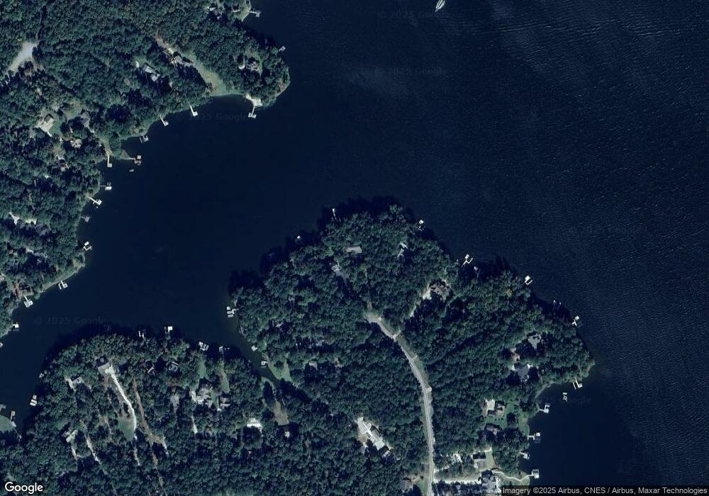
Map
Nearby Homes
- 262 N Rock Island Dr
- 264 Winding River Rd
- 186 Harbor Dr
- 403 Long Shoals Dr
- 0 Long Shoals Dr Unit 10601520
- 0 Long Shoals Dr Unit 69378
- Lot 8 S Rock Island Dr
- 145 S Rock Island Dr
- 144 Rock Springs Rd
- 153 S Rock Island Dr
- 165 S Rock Island Dr
- 290 Long Shoals Rd
- 146 Long Island Dr
- 121 Long Island Dr
- 351 River Lake Dr
- 308 River Lake Dr
- 536 River Lake Dr
- 302 N Rock Island Dr
- 299 N Rock Island Dr
- 290 N Rock Island Dr
- 295 N Rock Island Dr
- 291 N Rock Island Dr
- 287 N Rock Island Dr
- 282 N Rock Island Dr
- 277 N Rock Island Dr
- 278 N Rock Island Dr
- 265 N Rock Island Dr
- 114 Winding River Rd
- 114 Winding River Rd
- 116 Winding River Rd
- 120 Winding River Rd
- 266 N Rock Island Dr
- 126 Winding River Rd
- 258 N Rock Island Dr
- 128 Winding River Rd
- 254 N Rock Island Dr
- Lots 10 and 11 Winding River Rd