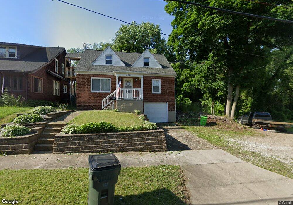
298 Norton Ave Unit 298 1/2 Barberton, OH 44203
North Barberton NeighborhoodEstimated Value: $97,000 - $139,378
3
Beds
2
Baths
1,440
Sq Ft
$78/Sq Ft
Est. Value
About This Home
This home is located at 298 Norton Ave Unit 298 1/2, Barberton, OH 44203 and is currently estimated at $112,845, approximately $78 per square foot. 298 Norton Ave Unit 298 1/2 is a home located in Summit County with nearby schools including Barberton Middle School, Barberton High School, and St Augustine Elementary School.
Ownership History
Date
Name
Owned For
Owner Type
Purchase Details
Closed on
Jul 17, 2018
Sold by
Firstmerit Bank Na
Bought by
Daly Michael J
Current Estimated Value
Purchase Details
Closed on
Apr 30, 2018
Sold by
Mckinney William L
Bought by
Firstmerit Bank Na
Purchase Details
Closed on
May 28, 1998
Sold by
Esposito Joseph A and Esposito Anna L
Bought by
Mckinney William L
Home Financials for this Owner
Home Financials are based on the most recent Mortgage that was taken out on this home.
Original Mortgage
$73,600
Interest Rate
6.94%
Create a Home Valuation Report for This Property
The Home Valuation Report is an in-depth analysis detailing your home's value as well as a comparison with similar homes in the area
Home Values in the Area
Average Home Value in this Area
Purchase History
| Date | Buyer | Sale Price | Title Company |
|---|---|---|---|
| Daly Michael J | $47,700 | None Available | |
| Firstmerit Bank Na | $42,000 | None Available | |
| Mckinney William L | $76,000 | Express Title Services Of Oh |
Source: Public Records
Mortgage History
| Date | Status | Borrower | Loan Amount |
|---|---|---|---|
| Previous Owner | Mckinney William L | $73,600 |
Source: Public Records
Tax History Compared to Growth
Tax History
| Year | Tax Paid | Tax Assessment Tax Assessment Total Assessment is a certain percentage of the fair market value that is determined by local assessors to be the total taxable value of land and additions on the property. | Land | Improvement |
|---|---|---|---|---|
| 2025 | $2,035 | $36,415 | $9,223 | $27,192 |
| 2024 | $1,869 | $36,415 | $9,223 | $27,192 |
| 2023 | $2,035 | $36,415 | $9,223 | $27,192 |
| 2022 | $1,322 | $22,341 | $5,621 | $16,720 |
| 2021 | $1,321 | $22,341 | $5,621 | $16,720 |
| 2020 | $1,293 | $22,340 | $5,620 | $16,720 |
| 2019 | $1,539 | $24,080 | $5,340 | $18,740 |
| 2018 | $1,491 | $24,080 | $5,340 | $18,740 |
| 2017 | $1,511 | $24,080 | $5,340 | $18,740 |
| 2016 | $1,514 | $24,080 | $5,340 | $18,740 |
| 2015 | $1,511 | $24,080 | $5,340 | $18,740 |
| 2014 | $1,503 | $24,080 | $5,340 | $18,740 |
| 2013 | $1,461 | $24,260 | $5,340 | $18,920 |
Source: Public Records
Map
Nearby Homes
- 613 Wooster Rd N
- 645 Madison Ave
- 46 Brown St
- 0 Wooster Rd N
- 320 Lincoln Ave Unit 322
- 387 4th St NW
- 690 Saint Clair Ave
- 44 W Summit St
- 412 Grandview Ave
- 103 Mitchell St
- 583 Creedmore Ave
- 610 Creedmore Ave
- 564 W Hopocan Ave
- 357 E Paige Ave
- 30 W Hiram St
- 213 Hermann St
- 146 Hermann St
- 250 Evergreen St
- 818 N Summit St
- 137 Hermann St