298 Price Rd Lone Grove, OK 73443
Estimated Value: $268,000 - $551,165
3
Beds
2
Baths
1,750
Sq Ft
$219/Sq Ft
Est. Value
About This Home
This home is located at 298 Price Rd, Lone Grove, OK 73443 and is currently estimated at $382,388, approximately $218 per square foot. 298 Price Rd is a home located in Carter County with nearby schools including Lone Grove Primary School, Lone Grove Intermediate School, and Lone Grove Middle School.
Ownership History
Date
Name
Owned For
Owner Type
Purchase Details
Closed on
Mar 14, 2024
Sold by
Miles Keith Gerard and Miles Karen Lee
Bought by
Miles Keith Gerard and Miles Karen Lee
Current Estimated Value
Purchase Details
Closed on
Oct 10, 2014
Sold by
Eagan Beverly Trustee
Bought by
Miles Keith and Miles Karen
Purchase Details
Closed on
Aug 29, 1997
Sold by
Eagan, Leonard O Trustee
Bought by
Eagan, Ila Rae, Trustee
Purchase Details
Closed on
Mar 19, 1997
Sold by
Eagan Leonard O
Bought by
Eagan, Leonard O Trustee
Create a Home Valuation Report for This Property
The Home Valuation Report is an in-depth analysis detailing your home's value as well as a comparison with similar homes in the area
Home Values in the Area
Average Home Value in this Area
Purchase History
| Date | Buyer | Sale Price | Title Company |
|---|---|---|---|
| Miles Keith Gerard | -- | None Listed On Document | |
| Miles Keith | $217,000 | -- | |
| Eagan, Ila Rae, Trustee | -- | -- | |
| Eagan, Leonard O Trustee | -- | -- |
Source: Public Records
Tax History Compared to Growth
Tax History
| Year | Tax Paid | Tax Assessment Tax Assessment Total Assessment is a certain percentage of the fair market value that is determined by local assessors to be the total taxable value of land and additions on the property. | Land | Improvement |
|---|---|---|---|---|
| 2024 | $2,484 | $24,745 | $2,423 | $22,322 |
| 2023 | $2,316 | $23,066 | $2,610 | $20,456 |
| 2022 | $2,214 | $22,395 | $2,460 | $19,935 |
| 2021 | $2,046 | $20,648 | $2,071 | $18,577 |
| 2020 | $1,971 | $20,046 | $1,902 | $18,144 |
| 2019 | $1,909 | $19,462 | $2,772 | $16,690 |
| 2018 | $1,868 | $18,895 | $1,500 | $17,395 |
| 2017 | $1,803 | $18,345 | $1,500 | $16,845 |
| 2016 | $1,743 | $17,811 | $1,500 | $16,311 |
| 2015 | $1,801 | $16,655 | $1,500 | $15,155 |
| 2014 | $1,532 | $13,857 | $1,500 | $12,357 |
Source: Public Records
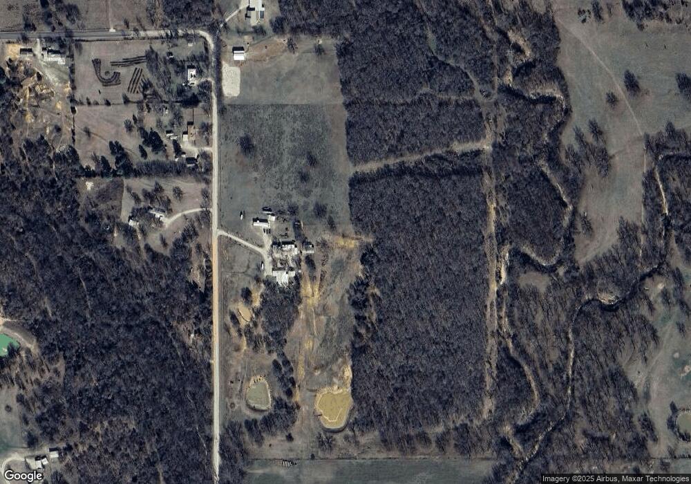
Map
Nearby Homes
- 18294 Highway 70 E
- 701 Young Rd
- 191 Young Rd
- 1435 Texaco Rd
- 21390 Us Highway 70
- 0 W Memorial Rd Unit 2526760
- 11459 Myall Rd
- 138 Tanglewood
- 00 Honeysuckle
- 435 Oak Creek Rd
- 11850 Prairie Valley Rd
- W Myall Rd
- 10925 Prairie Valley Rd
- 0 Prairie Valley Rd Unit 23308691
- 0 Prairie Valley Rd Unit 2443245
- 535 Maplewood Dr
- 739 Maplewood Dr
- 17899 Us Highway 70
- 04 Myall Rd
- 03 Myall Rd
- 319 Price Rd
- 401 Price Rd
- 449 Price Rd
- 498 Price Rd
- 0 Price Rd Unit 25007
- 0 Price Rd Unit 25005
- 0 Price Rd Unit 25006
- 0 Price Rd Unit 29363
- 20190 Us Highway 70
- 707 Price Rd
- 751 Price Rd
- 925 Young Rd
- 0 Highway 70 E
- 00 Us Hwy 70
- 19629 Us Highway 70
- 19629 Us Highway 70
- 980 Price Rd
- 20528 Us Highway 70
- 20296 Us Highway 70
- 365 Cathy Ln