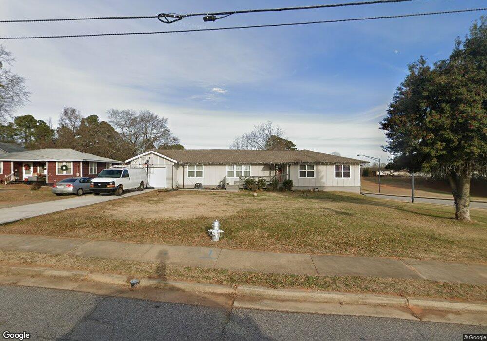
298 Roberts St Buford, GA 30518
Estimated Value: $502,322 - $581,000
4
Beds
1
Bath
2,136
Sq Ft
$251/Sq Ft
Est. Value
About This Home
This home is located at 298 Roberts St, Buford, GA 30518 and is currently estimated at $535,581, approximately $250 per square foot. 298 Roberts St is a home located in Gwinnett County with nearby schools including Buford Elementary School, Buford Senior Academy, and Buford Academy.
Ownership History
Date
Name
Owned For
Owner Type
Purchase Details
Closed on
Sep 26, 2018
Sold by
Full Source Homes Llc
Bought by
Razo Elise Rene
Current Estimated Value
Home Financials for this Owner
Home Financials are based on the most recent Mortgage that was taken out on this home.
Original Mortgage
$294,566
Outstanding Balance
$257,857
Interest Rate
4.87%
Mortgage Type
FHA
Estimated Equity
$277,724
Purchase Details
Closed on
Oct 11, 2017
Sold by
Star Capital Investment Gr
Bought by
Full Source Homes Llc
Purchase Details
Closed on
Dec 6, 2002
Sold by
Wansley Betty J
Bought by
Wansley Anthony J
Create a Home Valuation Report for This Property
The Home Valuation Report is an in-depth analysis detailing your home's value as well as a comparison with similar homes in the area
Home Values in the Area
Average Home Value in this Area
Purchase History
| Date | Buyer | Sale Price | Title Company |
|---|---|---|---|
| Razo Elise Rene | $300,000 | -- | |
| Full Source Homes Llc | $123,000 | -- | |
| Star Capital Investment Grp Llc | $75,000 | -- | |
| Wansley Anthony J | -- | -- |
Source: Public Records
Mortgage History
| Date | Status | Borrower | Loan Amount |
|---|---|---|---|
| Open | Razo Elise Rene | $294,566 |
Source: Public Records
Tax History Compared to Growth
Tax History
| Year | Tax Paid | Tax Assessment Tax Assessment Total Assessment is a certain percentage of the fair market value that is determined by local assessors to be the total taxable value of land and additions on the property. | Land | Improvement |
|---|---|---|---|---|
| 2025 | $1,155 | $188,320 | $40,000 | $148,320 |
| 2024 | $1,150 | $202,280 | $33,600 | $168,680 |
| 2023 | $1,150 | $157,360 | $26,000 | $131,360 |
| 2022 | $1,138 | $157,360 | $26,000 | $131,360 |
| 2021 | $1,138 | $89,080 | $16,800 | $72,280 |
| 2020 | $1,138 | $89,080 | $16,800 | $72,280 |
| 2019 | $1,028 | $89,080 | $16,800 | $72,280 |
| 2018 | $445 | $34,360 | $5,600 | $28,760 |
| 2016 | $440 | $34,360 | $5,600 | $28,760 |
| 2015 | $456 | $34,360 | $5,600 | $28,760 |
| 2014 | -- | $32,200 | $5,600 | $26,600 |
Source: Public Records
Map
Nearby Homes
- 130 Legion Dr
- 282 Oakland Ave
- 1098 Caruso Dr
- 408 Bona Rd
- 110 Shadburn Ferry Rd
- 48 Stonehedge Ct
- 0 Peachtree Industrial Blvd Unit 7679534
- 4933 Greenard Watson Ln
- 4942 Greenard Watson Ln
- 5789 Creek Indian Dr
- 1481 Buice Crest Dr
- 5450 N Richland Creek Rd
- 304 E Jackson St
- 2759 S Waterworks Rd
- 489 Williams St
- 7307 William St
- 4817 Cooper Farm Dr
- 550 Gwinnett St
- 120 N Gwinnett St
- 120 Gwinnett St
- 296 Roberts St
- 0 Roberts St Unit 8816128
- 0 Roberts St
- 294 Roberts St
- 300 Roberts St
- 292 Legion Dr
- 284 Roberts St
- 0 Oakland Unit 10404692
- 0 Oakland Unit 7478827
- 0 Oakland Unit 8501796
- 241 Roberts St
- 254 Roberts St
- 254 Roberts St
- 307 Roberts St
- 231 Roberts St
- 2583 Sagefield Dr
- 315 Roberts St
- 0 Roberts Rear Unit 8501791
- 2582 Sagefield Dr
- 207 Roberts St