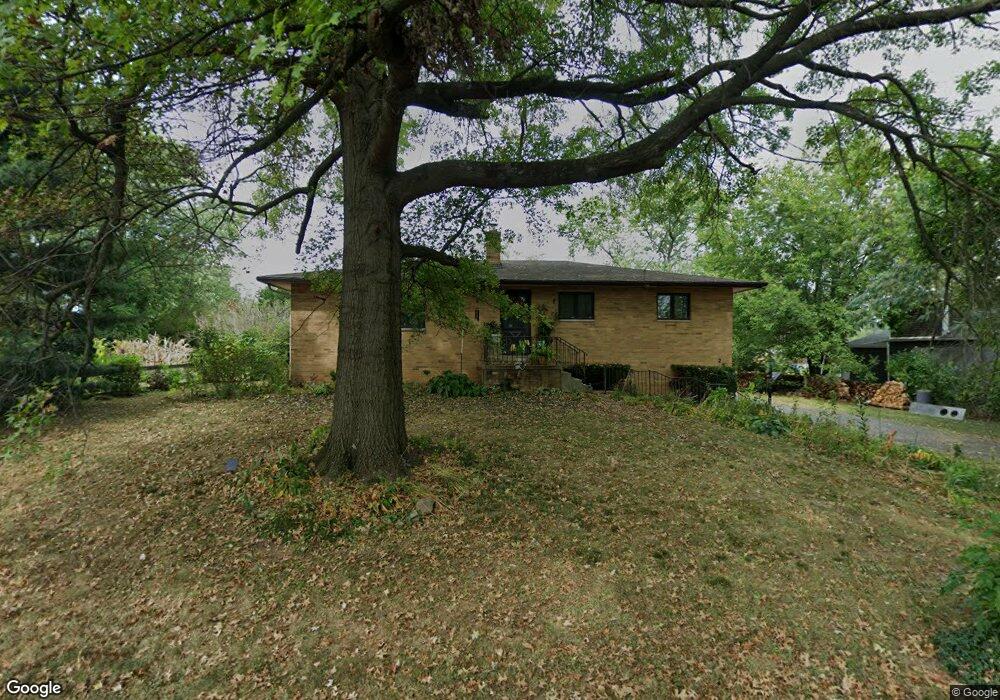
298 Rumsey Rd Columbus, OH 43207
Obetz-Lockbourne NeighborhoodEstimated Value: $233,079 - $288,000
3
Beds
3
Baths
1,457
Sq Ft
$174/Sq Ft
Est. Value
About This Home
This home is located at 298 Rumsey Rd, Columbus, OH 43207 and is currently estimated at $253,270, approximately $173 per square foot. 298 Rumsey Rd is a home located in Franklin County with nearby schools including Parsons Elementary School, Buckeye Middle School, and Marion-Franklin High School.
Ownership History
Date
Name
Owned For
Owner Type
Purchase Details
Closed on
Jun 28, 2006
Sold by
Rinehart Virginia H
Bought by
Lapczynski Dj
Current Estimated Value
Home Financials for this Owner
Home Financials are based on the most recent Mortgage that was taken out on this home.
Original Mortgage
$118,750
Outstanding Balance
$70,616
Interest Rate
6.68%
Mortgage Type
Purchase Money Mortgage
Estimated Equity
$182,654
Purchase Details
Closed on
Oct 20, 1976
Bought by
Rinehart Lloyd E
Create a Home Valuation Report for This Property
The Home Valuation Report is an in-depth analysis detailing your home's value as well as a comparison with similar homes in the area
Home Values in the Area
Average Home Value in this Area
Purchase History
| Date | Buyer | Sale Price | Title Company |
|---|---|---|---|
| Lapczynski Dj | $125,000 | Talon Group | |
| Rinehart Lloyd E | -- | -- |
Source: Public Records
Mortgage History
| Date | Status | Borrower | Loan Amount |
|---|---|---|---|
| Open | Lapczynski Dj | $118,750 |
Source: Public Records
Tax History Compared to Growth
Tax History
| Year | Tax Paid | Tax Assessment Tax Assessment Total Assessment is a certain percentage of the fair market value that is determined by local assessors to be the total taxable value of land and additions on the property. | Land | Improvement |
|---|---|---|---|---|
| 2024 | $3,008 | $67,030 | $19,570 | $47,460 |
| 2023 | $2,970 | $67,025 | $19,565 | $47,460 |
| 2022 | $2,574 | $49,630 | $21,070 | $28,560 |
| 2021 | $2,579 | $49,630 | $21,070 | $28,560 |
| 2020 | $2,582 | $49,630 | $21,070 | $28,560 |
| 2019 | $2,599 | $42,850 | $18,310 | $24,540 |
| 2018 | $2,382 | $42,850 | $18,310 | $24,540 |
| 2017 | $2,494 | $42,850 | $18,310 | $24,540 |
| 2016 | $2,391 | $36,090 | $6,440 | $29,650 |
| 2015 | $2,170 | $36,090 | $6,440 | $29,650 |
| 2014 | $2,176 | $36,090 | $6,440 | $29,650 |
| 2013 | $1,130 | $38,010 | $6,790 | $31,220 |
Source: Public Records
Map
Nearby Homes
- 256 Rumsey Rd Unit 258
- 3380 Parsons Ave
- 3414 Parsons Ave
- 445 Basswood Rd
- 3161 Lewis Rd
- 125 Williams Rd
- 1633-1635 E Greenway Ave
- 228 Currier Dr
- 245 Marilla Rd
- 525 Ashwood Rd
- 503 Ashwood Rd
- 3691 Ferman Rd
- 3714 Parsons Ave
- 696 Williams Rd
- 2901 Parsons Ave
- 3747 Ferman Rd
- 3735 Christie Rd W
- 780 Basswood Rd
- 662 Bartfield Dr
- 0 Parsons Ave Unit 225012522
- 286 Rumsey Rd
- 308 Rumsey Rd
- 278 Rumsey Rd
- 3331 Parsons Ave
- 311 Rumsey Rd
- 289 Stockbridge Rd
- 3325 Parsons Ave
- 277 Stockbridge Rd
- 312 Rumsey Rd
- 3301 Parsons Ave
- 271 Stockbridge Rd
- 317 Rumsey Rd
- 305 Rumsey Rd
- 256 Rumsey Rd
- 301 Rumsey Rd
- 3373 Parsons Ave
- 3290 S 8th St
- 3379 Parsons Ave
- 265 Rumsey Rd
- 294 Stockbridge Rd