2980 Propst Rd Clover, SC 29710
Estimated Value: $436,000 - $1,053,008
Studio
1
Bath
3,049
Sq Ft
$238/Sq Ft
Est. Value
About This Home
This home is located at 2980 Propst Rd, Clover, SC 29710 and is currently estimated at $724,752, approximately $237 per square foot. 2980 Propst Rd is a home located in York County with nearby schools including Cotton Belt Elementary School, York Intermediate School, and York Middle School.
Ownership History
Date
Name
Owned For
Owner Type
Purchase Details
Closed on
May 23, 2007
Sold by
Freismuth William Paul
Bought by
Suleiman Mohamad and Malik Safia
Current Estimated Value
Purchase Details
Closed on
Apr 12, 2006
Sold by
Beal Bank Ssb
Bought by
Freismuth William Paul
Purchase Details
Closed on
Oct 24, 2005
Sold by
Broadaway Rhonda and Fitch Charles E
Bought by
Beal Bank Ssb
Purchase Details
Closed on
May 16, 2002
Sold by
Broadaway Rhonda
Bought by
Fitch Charles E and King David
Create a Home Valuation Report for This Property
The Home Valuation Report is an in-depth analysis detailing your home's value as well as a comparison with similar homes in the area
Home Values in the Area
Average Home Value in this Area
Purchase History
| Date | Buyer | Sale Price | Title Company |
|---|---|---|---|
| Suleiman Mohamad | $188,500 | None Available | |
| Freismuth William Paul | $112,500 | None Available | |
| Beal Bank Ssb | $2,500 | -- | |
| Fitch Charles E | $20,000 | -- |
Source: Public Records
Tax History
| Year | Tax Paid | Tax Assessment Tax Assessment Total Assessment is a certain percentage of the fair market value that is determined by local assessors to be the total taxable value of land and additions on the property. | Land | Improvement |
|---|---|---|---|---|
| 2025 | $2,510 | $14,499 | $580 | $13,919 |
| 2024 | $2,120 | $12,611 | $352 | $12,259 |
| 2023 | $2,165 | $12,611 | $352 | $12,259 |
| 2022 | $2,171 | $12,611 | $352 | $12,259 |
| 2021 | -- | $12,611 | $352 | $12,259 |
| 2020 | $2,164 | $12,611 | $0 | $0 |
| 2019 | $1,961 | $10,971 | $0 | $0 |
| 2018 | $1,885 | $10,971 | $0 | $0 |
| 2017 | $1,791 | $10,971 | $0 | $0 |
| 2016 | $1,766 | $10,971 | $0 | $0 |
| 2014 | $1,829 | $10,971 | $271 | $10,700 |
| 2013 | $1,829 | $12,163 | $263 | $11,900 |
Source: Public Records
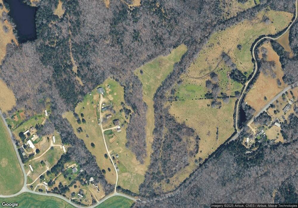
Map
Nearby Homes
- 2976 / 2980 Propst Rd
- Tract C Cedar Grove Rd
- 137 Cedar Grove Rd
- 1491 Cedar Grove Rd
- 1846 Apple Blossom Rd
- 1108 King Rd
- 2009 Sugar Hill Rd
- 357 Pendergrass Rd
- 1106 Sierra Rd
- 1168 Sutton Spring Rd
- 3625 Black Hwy
- 3695 Black Hwy
- 0 Mcgill Rd
- 113 Tanager Dr
- 1643 Mallard Bay Rd
- 1639 +1643 Mallard Bay Rd Unit 17 & 18
- 1610 Sierra Rd
- 1639 Mallard Bay Rd
- Black Hwy
- 1570 Springlake Rd
- 3076 Propst Rd
- 3080 Propst Rd
- 3034 Propst Rd
- 3108 Propst Rd
- 3000 Propst Rd
- 3104 Propst Rd
- 3088 Propst Rd
- 3088 Propst Rd
- 3042 Propst Rd
- 3060 Propst Rd
- 3120 Propst Rd
- 370 Beersheba Rd S
- 3274 Propst Rd
- 2807 Propst Rd
- 705 Cedar Grove Rd
- 3190 Broadhurst Ln
- 3205 Broadhurst Ln
- 360 Beersheba Rd S
- 386 Beersheba Rd S
- 3218 Broadhurst Ln
Your Personal Tour Guide
Ask me questions while you tour the home.