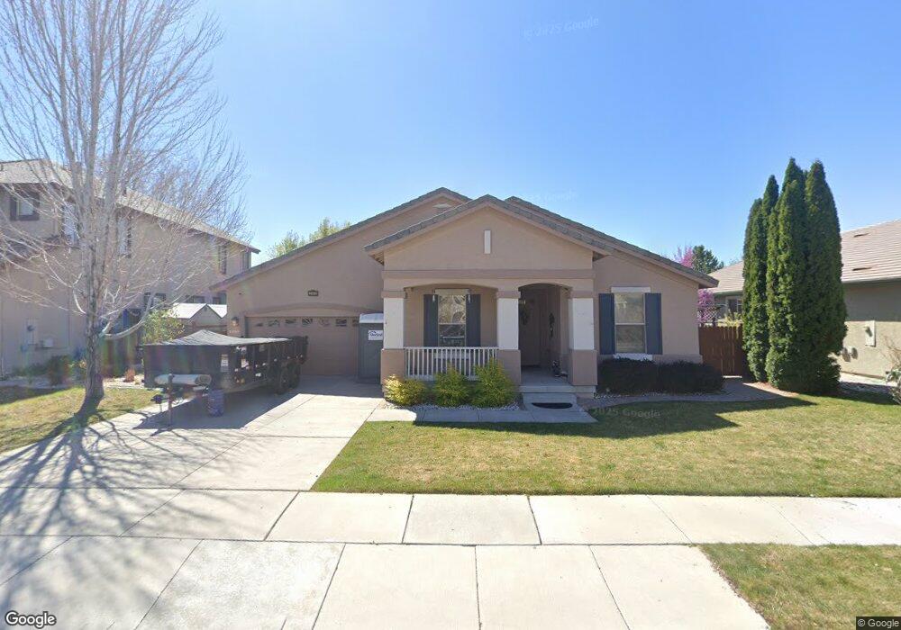
2980 Silverton Way Sparks, NV 89436
Wingfield Springs NeighborhoodEstimated Value: $623,260 - $725,000
3
Beds
2
Baths
2,393
Sq Ft
$286/Sq Ft
Est. Value
About This Home
This home is located at 2980 Silverton Way, Sparks, NV 89436 and is currently estimated at $685,065, approximately $286 per square foot. 2980 Silverton Way is a home located in Washoe County with nearby schools including Van Gorder Elementary School, Sky Ranch Middle School, and Spanish Springs High School.
Ownership History
Date
Name
Owned For
Owner Type
Purchase Details
Closed on
Feb 7, 2001
Sold by
Dempsey Construction Of Nevada Llc
Bought by
Cool Roger C and Cool Francis
Current Estimated Value
Create a Home Valuation Report for This Property
The Home Valuation Report is an in-depth analysis detailing your home's value as well as a comparison with similar homes in the area
Home Values in the Area
Average Home Value in this Area
Purchase History
| Date | Buyer | Sale Price | Title Company |
|---|---|---|---|
| Cool Roger C | $291,000 | First American Title |
Source: Public Records
Tax History Compared to Growth
Tax History
| Year | Tax Paid | Tax Assessment Tax Assessment Total Assessment is a certain percentage of the fair market value that is determined by local assessors to be the total taxable value of land and additions on the property. | Land | Improvement |
|---|---|---|---|---|
| 2025 | $2,159 | $176,876 | $62,606 | $114,270 |
| 2024 | $2,159 | $170,761 | $55,521 | $115,240 |
| 2023 | $2,097 | $165,537 | $56,333 | $109,205 |
| 2022 | $2,099 | $137,392 | $46,487 | $90,905 |
| 2021 | $2,066 | $131,540 | $41,108 | $90,432 |
| 2020 | $2,079 | $133,389 | $42,732 | $90,657 |
| 2019 | $1,930 | $127,666 | $40,042 | $87,624 |
| 2018 | $1,931 | $118,323 | $32,744 | $85,579 |
| 2017 | $1,868 | $116,506 | $30,781 | $85,725 |
| 2016 | $1,811 | $116,166 | $29,164 | $87,002 |
| 2015 | $1,819 | $98,400 | $20,020 | $78,380 |
| 2014 | $1,762 | $86,227 | $17,154 | $69,073 |
| 2013 | -- | $70,657 | $13,923 | $56,734 |
Source: Public Records
Map
Nearby Homes
- 6485 Sun Flag Ct
- 6638 Aston Cir Unit 18
- 6978 Poco Bueno Cir
- 6831 Island Queen Ct Unit 16
- 2880 Thistle Belle Ct
- 6658 Abbotswood Dr
- 7050 Island Queen Ct Unit 16
- 3031 Honey Arbor Way
- 6595 Geranium Way
- 6517 Angels Orchard Dr
- 2691 Sutter Butte Ct
- 7302 Little Easy St
- 2064 Marcus Way Unit Homesite 11
- 7105 High Hill St
- The Bolero Plan at Pele at Pioneer Meadows
- The Korel Plan at Pele at Pioneer Meadows
- The Silverado Plan at Sendero at Pioneer Meadows
- The Cottonwood Plan at Sendero at Pioneer Meadows
- The Danver Plan at Pele at Pioneer Meadows
- The Babette Plan at Pele at Pioneer Meadows
- 2986 Silverton Way
- 2974 Silverton Way
- 6505 Minnow Ct
- 6495 Fernday Ct Unit 17B
- 6495 Sun Flag Ct
- 6506 Blushing Ct
- 6485 Fernday Ct Unit 17B
- 6475 Sun Flag Ct Unit 17C
- 6465 Sun Flag Ct Unit 17C
- 6475 Fernday Ct Unit 17B
- 6515 Minnow Ct
- 6516 Blushing Ct
- 6525 Minnow Ct
- 6455 Sun Flag Ct
- 6484 Sun Flag Ct
- 6505 Blushing Ct Unit 17B
- 6494 Sun Flag Ct
- 6465 Fernday Ct
- 6474 Sun Flag Ct