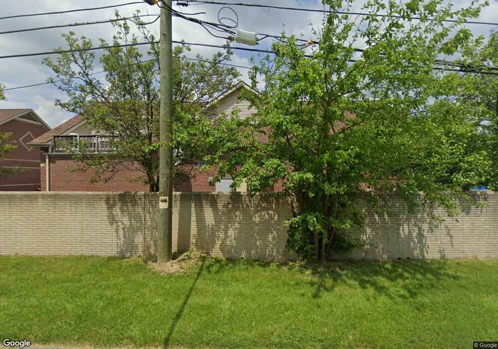
29801 W Nine Mile Rd Farmington Hills, MI 48336
Estimated Value: $967,911
--
Bed
--
Bath
3,000
Sq Ft
$323/Sq Ft
Est. Value
About This Home
This home is located at 29801 W Nine Mile Rd, Farmington Hills, MI 48336 and is currently estimated at $967,911, approximately $322 per square foot. 29801 W Nine Mile Rd is a home located in Oakland County with nearby schools including Gill Elementary School, Power Middle School, and Grand River Academy.
Ownership History
Date
Name
Owned For
Owner Type
Purchase Details
Closed on
Nov 1, 2018
Sold by
Bok Properties Llc
Bought by
Bazco Holdings Llc
Current Estimated Value
Purchase Details
Closed on
Apr 5, 2004
Sold by
Imperial Sunoco Inc
Bought by
Bok Properties Llc
Home Financials for this Owner
Home Financials are based on the most recent Mortgage that was taken out on this home.
Original Mortgage
$225,000
Interest Rate
5.66%
Mortgage Type
Seller Take Back
Purchase Details
Closed on
Nov 10, 2000
Sold by
Imperial Center Llc
Bought by
Imperial Sunoco Inc
Create a Home Valuation Report for This Property
The Home Valuation Report is an in-depth analysis detailing your home's value as well as a comparison with similar homes in the area
Home Values in the Area
Average Home Value in this Area
Purchase History
| Date | Buyer | Sale Price | Title Company |
|---|---|---|---|
| Bazco Holdings Llc | $660,000 | Ata National Title Group Llc | |
| Bok Properties Llc | $325,000 | -- | |
| Imperial Sunoco Inc | $557,174 | -- | |
| Imperial Center Llc | -- | -- |
Source: Public Records
Mortgage History
| Date | Status | Borrower | Loan Amount |
|---|---|---|---|
| Previous Owner | Bok Properties Llc | $225,000 |
Source: Public Records
Tax History Compared to Growth
Tax History
| Year | Tax Paid | Tax Assessment Tax Assessment Total Assessment is a certain percentage of the fair market value that is determined by local assessors to be the total taxable value of land and additions on the property. | Land | Improvement |
|---|---|---|---|---|
| 2024 | $13,613 | $348,110 | $133,820 | $214,290 |
| 2022 | $13,005 | $321,390 | $133,820 | $187,570 |
| 2021 | $15,764 | $308,380 | $133,820 | $174,560 |
| 2020 | $12,009 | $279,290 | $125,450 | $153,840 |
| 2018 | $10,855 | $239,290 | $0 | $0 |
| 2015 | -- | $244,640 | $0 | $0 |
| 2014 | -- | $303,230 | $0 | $0 |
| 2011 | -- | $474,350 | $0 | $0 |
Source: Public Records
Map
Nearby Homes
- 22189 Albion Ave
- 22535 Albion Ave
- 22516 Glenmoor Heights
- 22601 Purdue Ave
- 22412 Middlebelt Rd
- 22271 Atlantic Pointe
- 30223 Astor St
- 22192 Cape Cod Way
- 30226 Astor St
- 22684 Tulane Ave
- 22800 Purdue Ave
- 22600 Middlebelt Rd Unit G04
- 22600 Middlebelt Rd Unit D06
- 22600 Middlebelt Rd Unit H06
- 22600 Middlebelt Rd
- 22723 Middlebelt Rd
- 22767 Middlebelt Rd
- 0 Rockcastle St Unit 50170285
- 22849 Montclair St
- 22534 Karen Ct
- 29801 W 9 Mile Rd
- 22201 Colgate St
- 22236 Purdue Ave
- 29829 W Nine Mile Rd
- 29825 W 9 Mile Rd
- 22161 Colgate St
- 22200 Colgate St
- 22204 Purdue Ave
- 22265 Purdue Ave
- 22160 Colgate St
- 22121 Colgate St
- 22235 Purdue Ave
- 0 9 Mile Unit 4974540
- 0 9 Mile Unit 78080032582
- 22176 Purdue Ave
- 22205 Purdue Ave
- 22269 Albion Ave
- 22120 Colgate St
- 29760 Shiawassee Rd
- 22081 Colgate St
