29809 NE 136th Ct Battle Ground, WA 98604
Estimated Value: $903,000 - $1,381,000
4
Beds
3
Baths
2,773
Sq Ft
$397/Sq Ft
Est. Value
About This Home
This home is located at 29809 NE 136th Ct, Battle Ground, WA 98604 and is currently estimated at $1,101,004, approximately $397 per square foot. 29809 NE 136th Ct is a home located in Clark County with nearby schools including Yacolt Primary School, Amboy Middle School, and Battle Ground High School.
Ownership History
Date
Name
Owned For
Owner Type
Purchase Details
Closed on
Mar 28, 2005
Sold by
Mcfadden Rowland D and Mcfadden Fern L
Bought by
Randall Timothy P and Randall Lori L
Current Estimated Value
Home Financials for this Owner
Home Financials are based on the most recent Mortgage that was taken out on this home.
Original Mortgage
$504,000
Outstanding Balance
$248,860
Interest Rate
5.12%
Mortgage Type
Purchase Money Mortgage
Estimated Equity
$852,144
Purchase Details
Closed on
Apr 24, 1997
Sold by
Matson Jack and Matson Ann
Bought by
Mcfadden Rowland D and Mcfadden Fern L
Home Financials for this Owner
Home Financials are based on the most recent Mortgage that was taken out on this home.
Original Mortgage
$200,000
Interest Rate
7.86%
Create a Home Valuation Report for This Property
The Home Valuation Report is an in-depth analysis detailing your home's value as well as a comparison with similar homes in the area
Home Values in the Area
Average Home Value in this Area
Purchase History
| Date | Buyer | Sale Price | Title Company |
|---|---|---|---|
| Randall Timothy P | $630,000 | Stewart Title | |
| Mcfadden Rowland D | $392,647 | Chicago Title Insurance Co |
Source: Public Records
Mortgage History
| Date | Status | Borrower | Loan Amount |
|---|---|---|---|
| Open | Randall Timothy P | $504,000 | |
| Previous Owner | Mcfadden Rowland D | $200,000 |
Source: Public Records
Tax History Compared to Growth
Tax History
| Year | Tax Paid | Tax Assessment Tax Assessment Total Assessment is a certain percentage of the fair market value that is determined by local assessors to be the total taxable value of land and additions on the property. | Land | Improvement |
|---|---|---|---|---|
| 2025 | $9,119 | $1,088,485 | $348,488 | $739,997 |
| 2024 | $8,671 | $1,040,381 | $348,488 | $691,893 |
| 2023 | $9,062 | $1,111,120 | $363,024 | $748,096 |
| 2022 | $8,063 | $1,062,552 | $325,158 | $737,394 |
| 2021 | $8,334 | $877,373 | $264,999 | $612,374 |
| 2020 | $8,148 | $828,248 | $256,853 | $571,395 |
| 2019 | $6,848 | $793,964 | $256,853 | $537,111 |
| 2018 | $8,484 | $764,180 | $0 | $0 |
| 2017 | $7,598 | $724,411 | $0 | $0 |
| 2016 | $7,373 | $705,104 | $0 | $0 |
| 2015 | $7,301 | $630,725 | $0 | $0 |
| 2014 | -- | $594,997 | $0 | $0 |
| 2013 | -- | $542,558 | $0 | $0 |
Source: Public Records
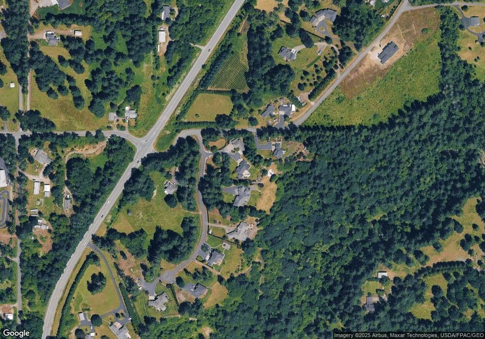
Map
Nearby Homes
- 30108 NE Mcbride Rd
- 13706 NE River Bend Rd
- 29311 NE 124th Ave
- 29139 NE Hammond Ct
- 29815 NE 152nd Ave
- 9701 NE 299th St
- 16401 NE 278th St
- 0 NE 279th St Unit 717779825
- 0 NE 279th St Unit 24075001
- 0 NE 279th St Unit 24073819
- 0 NE 279th St Unit 24101609
- 16808 NE 281st Cir
- 17003 NE 281st Cir
- 16906 NE 281st Cir
- 16807 NE 281st Cir
- 16905 NE 281st Cir
- 16803 NE 281st Cir
- 17000 NE 281st Cir
- 11700 NE 279th St
- 28900 NE 112th Ave
- 29805 NE 136th Ct
- 29903 NE Mcbride Rd
- 29807 NE 136th Ct
- 30001 NE 136th Ct
- 30001 NE 136th Ct Unit 3
- 29619 NE 136th Ct
- 29904 NE Mcbride Rd
- 29700 NE 136th Ct
- 29615 NE 136th Ct
- 0 XXX NE Lewisville Hwy
- 30002 NE Mcbride Rd
- 13406 NE 299th St
- 29503 NE 136th Ct
- 29008 NE 136th Ct Unit Lot 8
- 29001 NE 136th Ct Unit 2
- 29008 NE 136th Ct Unit 8
- 29008 NE 136th Ct
- 0 NE Mcbride Rd Unit 5081120
- 29501 NE 136th Ct