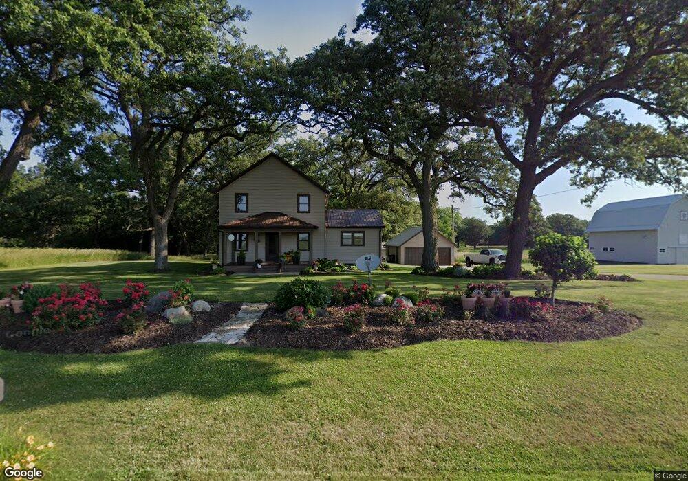
2981 N 4201st Rd Sheridan, IL 60551
Estimated Value: $248,000 - $314,000
--
Bed
--
Bath
1,500
Sq Ft
$178/Sq Ft
Est. Value
About This Home
This home is located at 2981 N 4201st Rd, Sheridan, IL 60551 and is currently estimated at $266,755, approximately $177 per square foot. 2981 N 4201st Rd is a home located in LaSalle County with nearby schools including Sandwich Community High School.
Ownership History
Date
Name
Owned For
Owner Type
Purchase Details
Closed on
May 31, 2006
Sold by
Brummel V Robert and Brummel Gloria
Bought by
Brown Kevin R
Current Estimated Value
Home Financials for this Owner
Home Financials are based on the most recent Mortgage that was taken out on this home.
Original Mortgage
$16,350
Outstanding Balance
$9,672
Interest Rate
6.68%
Mortgage Type
Credit Line Revolving
Estimated Equity
$257,083
Create a Home Valuation Report for This Property
The Home Valuation Report is an in-depth analysis detailing your home's value as well as a comparison with similar homes in the area
Home Values in the Area
Average Home Value in this Area
Purchase History
| Date | Buyer | Sale Price | Title Company |
|---|---|---|---|
| Brown Kevin R | $163,500 | First American Title |
Source: Public Records
Mortgage History
| Date | Status | Borrower | Loan Amount |
|---|---|---|---|
| Open | Brown Kevin R | $16,350 | |
| Open | Brown Kevin R | $130,800 |
Source: Public Records
Tax History Compared to Growth
Tax History
| Year | Tax Paid | Tax Assessment Tax Assessment Total Assessment is a certain percentage of the fair market value that is determined by local assessors to be the total taxable value of land and additions on the property. | Land | Improvement |
|---|---|---|---|---|
| 2024 | $4,249 | $65,588 | $11,121 | $54,467 |
| 2023 | $4,514 | $61,620 | $10,448 | $51,172 |
| 2022 | $2,974 | $45,344 | $9,480 | $35,864 |
| 2021 | $2,841 | $42,480 | $8,881 | $33,599 |
| 2020 | $2,823 | $40,940 | $8,559 | $32,381 |
| 2019 | $2,701 | $39,343 | $8,225 | $31,118 |
| 2018 | $2,571 | $37,302 | $7,798 | $29,504 |
| 2017 | $2,396 | $35,009 | $8,097 | $26,912 |
| 2016 | $2,394 | $35,061 | $8,109 | $26,952 |
| 2015 | $2,272 | $36,205 | $8,374 | $27,831 |
| 2012 | -- | $31,681 | $8,546 | $23,135 |
Source: Public Records
Map
Nearby Homes
- 208 W Sycamore St
- 122 Belle Rive Dr
- 11071 Crimmin Rd
- 000 Millington Rd
- 3 Oak Ridge Dr
- 4322 E 2859th Rd
- 2833 N 4201st Rd
- 2853 N 4360th Rd
- 2 N Van Buren St
- 003 N 4201st Rd
- 001 N 4201st Rd
- 004 N 4201st Rd
- 0 E Main St
- 302 E State Route 71
- 4452 E 2969th Rd
- 4456 E 2969th Rd
- 4455 E 2969th Rd
- 2989 N 4459th Rd
- 4460 N 4459th Rd
- 2961 N 4459th Rd