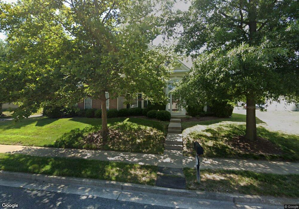
29812 Dustin Ave Easton, MD 21601
Estimated Value: $515,000 - $570,000
--
Bed
3
Baths
3,098
Sq Ft
$176/Sq Ft
Est. Value
About This Home
This home is located at 29812 Dustin Ave, Easton, MD 21601 and is currently estimated at $545,227, approximately $175 per square foot. 29812 Dustin Ave is a home located in Talbot County with nearby schools including Easton Elementary School, Easton Middle School, and Easton High School.
Ownership History
Date
Name
Owned For
Owner Type
Purchase Details
Closed on
Dec 5, 2007
Sold by
Lyons Lc
Bought by
Geoghegan William H and Geoghegan Judith A
Current Estimated Value
Purchase Details
Closed on
Dec 1, 2006
Sold by
Lyons Lc
Bought by
Meredith Amos T and Meredith Bernice Arlene
Purchase Details
Closed on
Nov 27, 2006
Sold by
Lyons Lc
Bought by
Meredith Amos T and Meredith Bernice Arlene
Create a Home Valuation Report for This Property
The Home Valuation Report is an in-depth analysis detailing your home's value as well as a comparison with similar homes in the area
Home Values in the Area
Average Home Value in this Area
Purchase History
| Date | Buyer | Sale Price | Title Company |
|---|---|---|---|
| Geoghegan William H | $416,805 | -- | |
| Meredith Amos T | $410,000 | -- | |
| Meredith Amos T | $410,000 | -- |
Source: Public Records
Mortgage History
| Date | Status | Borrower | Loan Amount |
|---|---|---|---|
| Closed | Geoghegan William H | -- |
Source: Public Records
Tax History Compared to Growth
Tax History
| Year | Tax Paid | Tax Assessment Tax Assessment Total Assessment is a certain percentage of the fair market value that is determined by local assessors to be the total taxable value of land and additions on the property. | Land | Improvement |
|---|---|---|---|---|
| 2025 | $2,248 | $405,067 | $0 | $0 |
| 2024 | $2,248 | $360,300 | $93,600 | $266,700 |
| 2023 | $2,111 | $357,467 | $0 | $0 |
| 2022 | $1,936 | $354,633 | $0 | $0 |
| 2021 | $1,796 | $351,800 | $110,200 | $241,600 |
| 2020 | $1,796 | $341,967 | $0 | $0 |
| 2019 | $1,785 | $332,133 | $0 | $0 |
| 2018 | $1,700 | $322,300 | $110,200 | $212,100 |
| 2017 | $1,586 | $309,233 | $0 | $0 |
| 2016 | $1,447 | $296,167 | $0 | $0 |
| 2015 | $1,389 | $283,100 | $0 | $0 |
| 2014 | $1,389 | $283,100 | $0 | $0 |
Source: Public Records
Map
Nearby Homes
- 7400 Michael Ave
- 29830 Hillary Ave
- 7371 Michael Ave
- 29865 Hillary Ave
- 29728 Sullivan Dr
- 7389 Karen Ave
- 29676 Janets Way
- 29744 Dustin Ave
- 29678 Sullivan Dr
- 29768 Hillary Ave
- 29653 Lyons Dr
- 29638 Janets Way
- 29770 Lyons Dr
- 29748 Lyons Dr
- 7453 Jeffreys Way
- 7444 Jeffreys Way
- 29606 Charles Dr
- 29595 Dutchmans Ln Unit 602
- 29529 Dutchmans Ln
- 7849 Ward Brothers Cir
- 29814 Dustin Ave
- 29810 Dustin Ave
- 29823 Peirce Way
- 29816 Dustin Ave
- 29808 Dustin Ave
- 29815 Dustin Ave
- 7351 Casey Ave
- 29821 Dustin Ave
- 29831 Peirce Way
- 7343 Casey Ave
- 7337 Casey Ave
- 29818 Dustin Ave
- 29813 Dustin Ave
- 7365 Casey Ave
- 29806 Dustin Ave
- 29823 Dustin Ave
- 7329 Casey Ave
- 29839 Peirce Way
- 29847 Peirce Way
- 7373 Casey Ave