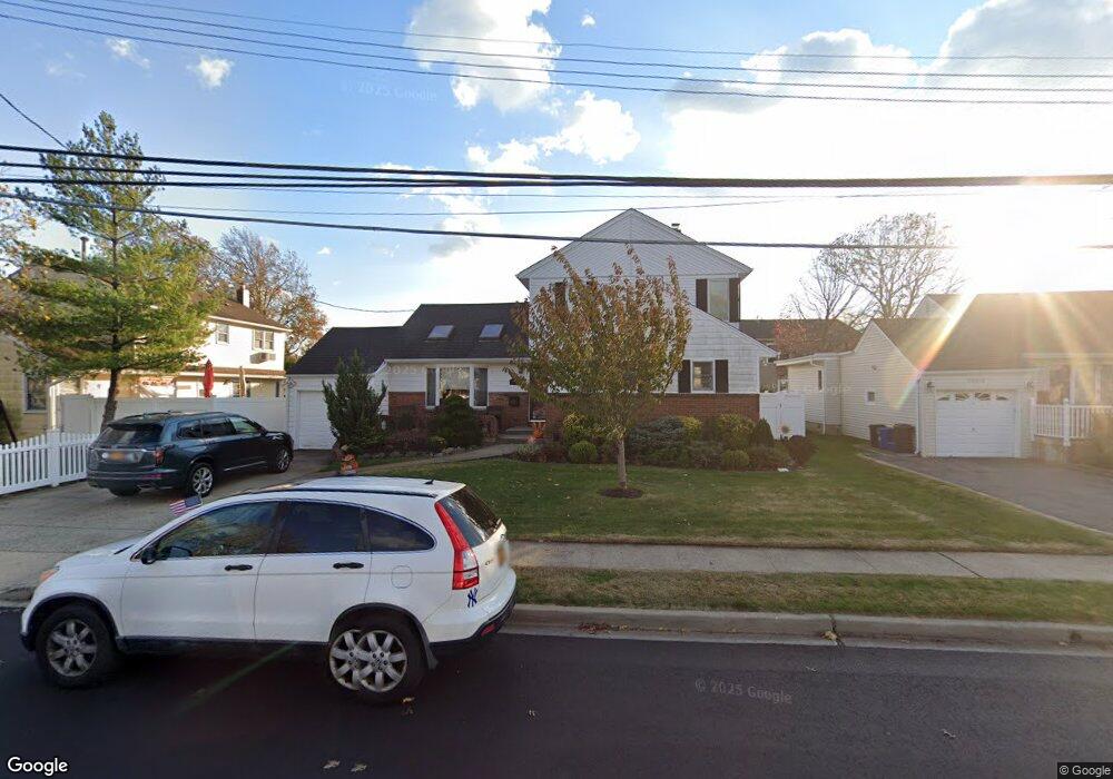
2982 Harvey Ave Oceanside, NY 11572
Estimated Value: $816,138 - $850,000
3
Beds
3
Baths
1,836
Sq Ft
$454/Sq Ft
Est. Value
About This Home
This home is located at 2982 Harvey Ave, Oceanside, NY 11572 and is currently estimated at $833,069, approximately $453 per square foot. 2982 Harvey Ave is a home located in Nassau County with nearby schools including Oaks Elementary School - School 3, Oceanside Middle School, and Oceanside High School.
Ownership History
Date
Name
Owned For
Owner Type
Purchase Details
Closed on
Jan 7, 2013
Sold by
Patel Rajendrakumar and Patel Smita
Bought by
Sasso Thomas and Sasso Kristen
Current Estimated Value
Home Financials for this Owner
Home Financials are based on the most recent Mortgage that was taken out on this home.
Original Mortgage
$389,250
Outstanding Balance
$270,899
Interest Rate
3.39%
Estimated Equity
$562,170
Purchase Details
Closed on
Aug 13, 1997
Sold by
Wasserman Lee and Wasserman Fraces
Bought by
Patel Rajendrakumar and Patel Smita
Create a Home Valuation Report for This Property
The Home Valuation Report is an in-depth analysis detailing your home's value as well as a comparison with similar homes in the area
Home Values in the Area
Average Home Value in this Area
Purchase History
| Date | Buyer | Sale Price | Title Company |
|---|---|---|---|
| Sasso Thomas | -- | -- | |
| Patel Rajendrakumar | $250,000 | -- |
Source: Public Records
Mortgage History
| Date | Status | Borrower | Loan Amount |
|---|---|---|---|
| Open | Sasso Thomas | $389,250 |
Source: Public Records
Tax History Compared to Growth
Tax History
| Year | Tax Paid | Tax Assessment Tax Assessment Total Assessment is a certain percentage of the fair market value that is determined by local assessors to be the total taxable value of land and additions on the property. | Land | Improvement |
|---|---|---|---|---|
| 2025 | $14,083 | $510 | $168 | $342 |
| 2024 | $4,439 | $544 | $179 | $365 |
| 2023 | $13,954 | $570 | $187 | $383 |
| 2022 | $13,954 | $624 | $205 | $419 |
| 2021 | $21,795 | $603 | $198 | $405 |
| 2020 | $16,629 | $1,048 | $625 | $423 |
| 2019 | $16,569 | $1,048 | $625 | $423 |
| 2018 | $15,602 | $1,048 | $0 | $0 |
| 2017 | $9,009 | $1,048 | $625 | $423 |
| 2016 | $13,805 | $1,048 | $625 | $423 |
| 2015 | $4,582 | $1,048 | $625 | $423 |
| 2014 | $4,582 | $1,048 | $625 | $423 |
| 2013 | $4,259 | $1,048 | $625 | $423 |
Source: Public Records
Map
Nearby Homes
- 2860 Lenox Rd
- 385 Oceanside Pkwy
- 226 Oakview Ave
- 3067 Xavier Ct
- 2975 Oceanside Rd
- 254 Elizabeth Ave
- 3309 Balsam St
- 484 Chelsea Rd
- 3068 Xavier Place
- 2922 Oceanside Rd
- 3328 Woodward St
- 3354 Knight St
- 515 Chelsea Rd
- 25 Sunnybrook Dr E
- 3309 Skillman Ave
- 138 Davison Ave
- 2941 Moreland Ave
- 3420 Woodward St
- 2593 Loftus Ave
- 3432 Bayfield Blvd
- 3000 Harvey Ave
- 2976 Harvey Ave
- 3017 Brower Ave
- 3011 Brower Ave
- 3025 Brower Ave
- 2970 Harvey Ave
- 3005 Brower Ave
- 329 Clive Ave
- 2989 Harvey Ave
- 2971 Harvey Ave
- 2964 Harvey Ave
- 3014 Brower Ave
- 3015 Harvey Ave
- 3007 Harvey Ave
- 2999 Brower Ave
- 2995 Harvey Ave
- 337 Clive Ave
- 2951 Harvey Ave
- 344 Clive Ave
- 3016 Brower Ave