2982 N Nc Highway 49 Burlington, NC 27217
Estimated Value: $336,000 - $707,285
5
Beds
5
Baths
4,042
Sq Ft
$128/Sq Ft
Est. Value
About This Home
This home is located at 2982 N Nc Highway 49, Burlington, NC 27217 and is currently estimated at $517,821, approximately $128 per square foot. 2982 N Nc Highway 49 is a home with nearby schools including Pleasant Grove Elementary School, Woodlawn Middle School, and Eastern Alamance High School.
Ownership History
Date
Name
Owned For
Owner Type
Purchase Details
Closed on
Mar 1, 2018
Sold by
Hopkins Jared Lewis and Hopkins Erika Lynn
Bought by
Winebarger Brittany Danielle and Winebarger Ryan Alexander
Current Estimated Value
Purchase Details
Closed on
Aug 18, 2011
Sold by
Hopkins William L
Bought by
Hopkins Jared L
Home Financials for this Owner
Home Financials are based on the most recent Mortgage that was taken out on this home.
Original Mortgage
$160,000
Interest Rate
4.62%
Mortgage Type
New Conventional
Create a Home Valuation Report for This Property
The Home Valuation Report is an in-depth analysis detailing your home's value as well as a comparison with similar homes in the area
Home Values in the Area
Average Home Value in this Area
Purchase History
| Date | Buyer | Sale Price | Title Company |
|---|---|---|---|
| Winebarger Brittany Danielle | -- | None Available | |
| Hopkins Jared L | $200,000 | -- |
Source: Public Records
Mortgage History
| Date | Status | Borrower | Loan Amount |
|---|---|---|---|
| Previous Owner | Hopkins Jared L | $160,000 |
Source: Public Records
Tax History Compared to Growth
Tax History
| Year | Tax Paid | Tax Assessment Tax Assessment Total Assessment is a certain percentage of the fair market value that is determined by local assessors to be the total taxable value of land and additions on the property. | Land | Improvement |
|---|---|---|---|---|
| 2025 | $3,342 | $562,585 | $110,140 | $452,445 |
| 2024 | $3,105 | $562,585 | $110,140 | $452,445 |
| 2023 | $2,897 | $562,585 | $110,140 | $452,445 |
| 2022 | $2,694 | $351,566 | $99,821 | $251,745 |
| 2021 | $2,659 | $351,566 | $99,821 | $251,745 |
| 2020 | $2,694 | $351,566 | $99,821 | $251,745 |
| 2019 | $2,707 | $351,566 | $99,821 | $251,745 |
| 2018 | $0 | $358,933 | $107,188 | $251,745 |
| 2017 | $2,441 | $358,933 | $107,188 | $251,745 |
| 2016 | $2,463 | $362,182 | $111,775 | $250,407 |
| 2015 | $2,378 | $362,182 | $111,775 | $250,407 |
| 2014 | -- | $362,182 | $111,775 | $250,407 |
Source: Public Records
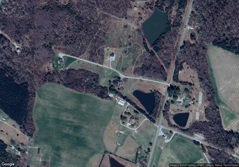
Map
Nearby Homes
- 2634 William Allen Rd
- 2619 William Allen Rd
- 2513 William Allen Rd
- Lot 14 Crumpton Trail
- Lot 15 Crumpton Trail
- 3345 Fleming Graham Rd
- 3295 Fleming Graham Rd
- 3263 Fleming Graham Rd
- 3082 Cascade Dr
- 2819 John Lewis Rd
- 2848 John Lewis Rd
- 2830 Barnett Rd
- 2200 State Highway 49
- 219 Pillow Ln
- 0 Haith Fuller Trail
- 134 Pillow Ln
- 119 Gideon Place
- 191 Steamboat Ln
- 2940 State Highway 49
- 2940 N Nc Highway 49
- 2988 N Nc Highway 49
- 2992 N Nc Highway 49
- 2940 N Carolina 49
- 2973 N Nc Highway 49
- 3134 N Nc Highway 49
- 2205 Foxfire Ln
- 3049 N Nc Highway 49
- 3101 N Carolina 49
- 3101 State Highway 49
- 3101 N Nc Highway 49
- 2844 Ellis Jeffries Rd
- 2467 Foxfire Ln
- 2477 Foxfire Ln
- 2457 Foxfire Ln
- 2507 Foxfire Ln
- 2517 Foxfire Ln
- 2527 Foxfire Ln
- 2437 Foxfire Ln