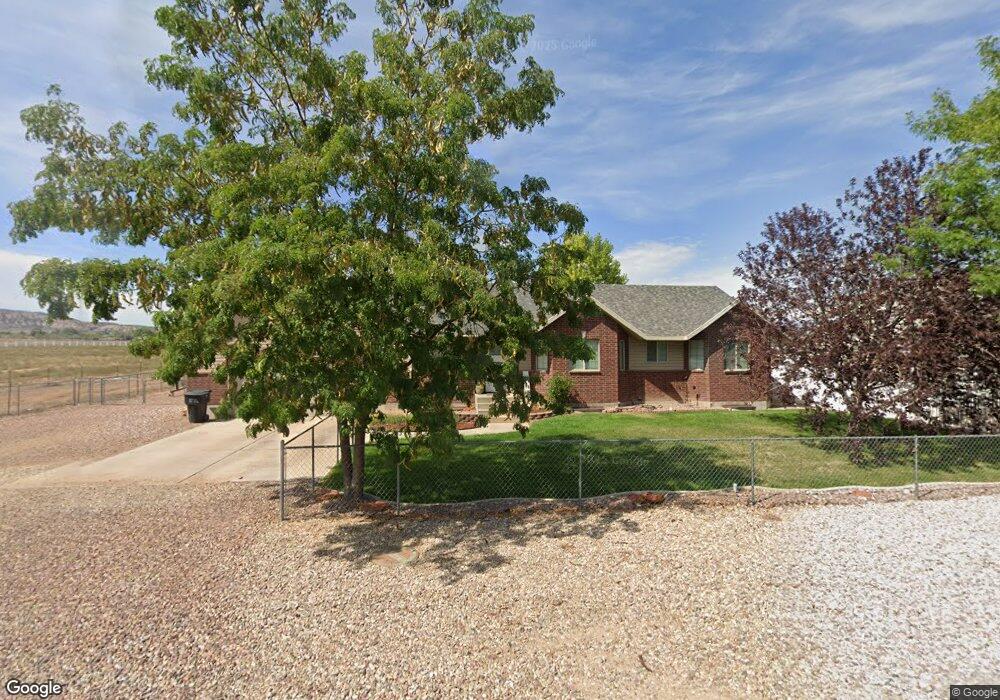
2982 S 500 E Vernal, UT 84078
Estimated Value: $426,000 - $529,000
6
Beds
3
Baths
3,226
Sq Ft
$152/Sq Ft
Est. Value
About This Home
This home is located at 2982 S 500 E, Vernal, UT 84078 and is currently estimated at $491,605, approximately $152 per square foot. 2982 S 500 E is a home located in Uintah County with nearby schools including Davis School, Vernal Middle School, and Uintah Middle School.
Ownership History
Date
Name
Owned For
Owner Type
Purchase Details
Closed on
Dec 18, 2022
Sold by
Gowen Richard Dale
Bought by
Richard D Gowen And Alisha Gowen Revocable Tr
Current Estimated Value
Purchase Details
Closed on
Oct 26, 2011
Sold by
Eskelson Rodney C and Eskelson Shanna K
Bought by
Gowen Richard Dale and Gowen Alisha
Home Financials for this Owner
Home Financials are based on the most recent Mortgage that was taken out on this home.
Original Mortgage
$280,612
Interest Rate
3.95%
Mortgage Type
New Conventional
Create a Home Valuation Report for This Property
The Home Valuation Report is an in-depth analysis detailing your home's value as well as a comparison with similar homes in the area
Purchase History
| Date | Buyer | Sale Price | Title Company |
|---|---|---|---|
| Richard D Gowen And Alisha Gowen Revocable Tr | -- | -- | |
| Gowen Richard Dale | -- | -- |
Source: Public Records
Mortgage History
| Date | Status | Borrower | Loan Amount |
|---|---|---|---|
| Previous Owner | Gowen Richard Dale | $280,612 |
Source: Public Records
Tax History
| Year | Tax Paid | Tax Assessment Tax Assessment Total Assessment is a certain percentage of the fair market value that is determined by local assessors to be the total taxable value of land and additions on the property. | Land | Improvement |
|---|---|---|---|---|
| 2024 | $2,357 | $265,573 | $17,175 | $248,398 |
| 2023 | $2,299 | $231,311 | $17,175 | $214,136 |
| 2022 | $2,006 | $188,484 | $17,175 | $171,309 |
| 2021 | $2,063 | $87,963 | $9,446 | $78,516 |
| 2020 | $1,921 | $152,827 | $19,250 | $133,577 |
| 2019 | $1,944 | $152,827 | $19,250 | $133,577 |
| 2018 | $1,860 | $146,467 | $19,250 | $127,217 |
| 2017 | $18 | $146,467 | $19,250 | $127,217 |
| 2016 | $1,744 | $150,401 | $19,250 | $131,151 |
| 2015 | $1,536 | $143,456 | $19,250 | $124,206 |
| 2014 | $1,446 | $136,425 | $19,250 | $117,175 |
| 2013 | $1,476 | $136,425 | $19,250 | $117,175 |
Source: Public Records
Map
Nearby Homes
- 2988 S 500 E
- 2962 S 500 E
- 2950 S 500 E
- 2971 S 450 E Unit 50
- 2971 S 450 E
- 2999 S 500 E
- 2975 S 500 E
- 2953 S 450 E Unit 51
- 2953 S 450 E
- 2944 S 500 E
- 2953 S 450 E
- 3017 S 500 E
- 2935 S 450 E Unit Lot 52
- 2935 S 450 E
- 355 E 2970 S Unit 37
- 438 E 2970 S
- 2922 S 500 E
- 2971 S 500 E
- 2937 S 500 E
- 2937 S 500 E Unit 4
Your Personal Tour Guide
Ask me questions while you tour the home.