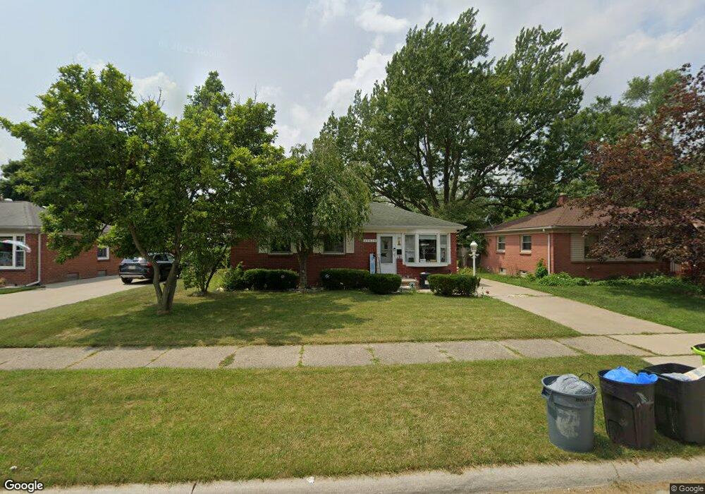
29820 Red Cedar Dr Flat Rock, MI 48134
Estimated Value: $199,000 - $208,000
3
Beds
1
Bath
907
Sq Ft
$225/Sq Ft
Est. Value
About This Home
This home is located at 29820 Red Cedar Dr, Flat Rock, MI 48134 and is currently estimated at $203,704, approximately $224 per square foot. 29820 Red Cedar Dr is a home located in Wayne County with nearby schools including Ethel C. Bobcean Elementary School, John M. Barnes Elementary School, and Thomas Simpson Middle School.
Ownership History
Date
Name
Owned For
Owner Type
Purchase Details
Closed on
Nov 9, 2020
Sold by
Ball Scott K and Ball Tammy R
Bought by
Revard David
Current Estimated Value
Home Financials for this Owner
Home Financials are based on the most recent Mortgage that was taken out on this home.
Original Mortgage
$140,650
Outstanding Balance
$125,159
Interest Rate
2.8%
Mortgage Type
New Conventional
Estimated Equity
$78,545
Create a Home Valuation Report for This Property
The Home Valuation Report is an in-depth analysis detailing your home's value as well as a comparison with similar homes in the area
Home Values in the Area
Average Home Value in this Area
Purchase History
| Date | Buyer | Sale Price | Title Company |
|---|---|---|---|
| Revard David | $145,000 | Title Solutions Agency Llc |
Source: Public Records
Mortgage History
| Date | Status | Borrower | Loan Amount |
|---|---|---|---|
| Open | Revard David | $140,650 |
Source: Public Records
Tax History
| Year | Tax Paid | Tax Assessment Tax Assessment Total Assessment is a certain percentage of the fair market value that is determined by local assessors to be the total taxable value of land and additions on the property. | Land | Improvement |
|---|---|---|---|---|
| 2025 | $3,689 | $81,900 | $0 | $0 |
| 2024 | $3,582 | $78,700 | $0 | $0 |
| 2023 | $3,415 | $70,300 | $0 | $0 |
| 2022 | $4,548 | $62,600 | $0 | $0 |
| 2021 | $4,480 | $61,600 | $0 | $0 |
| 2020 | $2,424 | $55,000 | $0 | $0 |
| 2019 | $2,379 | $48,600 | $0 | $0 |
| 2018 | $1,849 | $45,100 | $0 | $0 |
| 2017 | $971 | $48,400 | $0 | $0 |
| 2016 | $2,235 | $45,700 | $0 | $0 |
| 2015 | $4,119 | $45,200 | $0 | $0 |
| 2013 | $3,990 | $39,900 | $0 | $0 |
| 2012 | $1,647 | $42,000 | $8,500 | $33,500 |
Source: Public Records
Map
Nearby Homes
- 29715 Walnut St
- 29614 Magnolia Dr
- 24943 Mayfair St
- 29157 Sheeks Blvd S
- 24664 E Huron River Dr
- 24103 Romero Unit 11
- 23897 Romero
- 23965 Gibraltar Rd
- 23911 Romero
- 23855 Romero
- 23883 Romero
- 23838 Meadows Ave
- 23869 Romero
- 23814 Meadows Ave
- 23841 Romero
- 23827 Romero
- VL Gibraltar Rd
- 00 Gibraltar Rd
- 0 Woodruff Unit 20251062264
- 28336 Sheeks Blvd N
- 29832 Red Cedar Dr
- 29810 Red Cedar Dr
- 29844 Red Cedar Dr
- 29800 Red Cedar Dr
- 29827 Aspen Dr Unit Bldg-Unit
- 29827 Aspen Dr
- 29843 Aspen Dr
- 29819 Aspen Dr
- 29856 Red Cedar Dr
- 29807 Aspen Dr
- 29786 Red Cedar Dr
- 29855 Aspen Dr
- 29815 Red Cedar Dr
- 29827 Red Cedar Dr
- 29807 Red Cedar Dr
- 29835 Red Cedar Dr
- 29787 Aspen Dr
- 29870 Red Cedar Dr
- 29801 Red Cedar Dr
- 29845 Red Cedar Dr
Your Personal Tour Guide
Ask me questions while you tour the home.