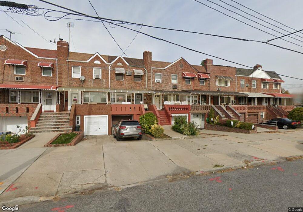
2983 Avenue R Brooklyn, NY 11229
Marine Park NeighborhoodEstimated Value: $800,000 - $1,075,000
--
Bed
3
Baths
1,632
Sq Ft
$568/Sq Ft
Est. Value
About This Home
This home is located at 2983 Avenue R, Brooklyn, NY 11229 and is currently estimated at $926,684, approximately $567 per square foot. 2983 Avenue R is a home located in Kings County with nearby schools including PS 222 Katherine R Snyder, J.H.S. 278 Marine Park, and James Madison High School.
Ownership History
Date
Name
Owned For
Owner Type
Purchase Details
Closed on
May 15, 2023
Sold by
Glass David and Glass Tzipora
Bought by
Feng Feng Ming Ming and Feng Yao Ming
Current Estimated Value
Home Financials for this Owner
Home Financials are based on the most recent Mortgage that was taken out on this home.
Original Mortgage
$481,000
Outstanding Balance
$467,625
Interest Rate
6.39%
Mortgage Type
Purchase Money Mortgage
Estimated Equity
$459,059
Purchase Details
Closed on
Dec 18, 2007
Sold by
Saler Mary
Bought by
Glass David and Glass Tzipora
Home Financials for this Owner
Home Financials are based on the most recent Mortgage that was taken out on this home.
Original Mortgage
$414,000
Interest Rate
6.27%
Mortgage Type
Purchase Money Mortgage
Create a Home Valuation Report for This Property
The Home Valuation Report is an in-depth analysis detailing your home's value as well as a comparison with similar homes in the area
Home Values in the Area
Average Home Value in this Area
Purchase History
| Date | Buyer | Sale Price | Title Company |
|---|---|---|---|
| Feng Feng Ming Ming | $740,000 | -- | |
| Glass David | $460,000 | -- | |
| Glass David | $460,000 | -- |
Source: Public Records
Mortgage History
| Date | Status | Borrower | Loan Amount |
|---|---|---|---|
| Open | Feng Feng Ming Ming | $481,000 | |
| Previous Owner | Glass David | $414,000 |
Source: Public Records
Tax History Compared to Growth
Tax History
| Year | Tax Paid | Tax Assessment Tax Assessment Total Assessment is a certain percentage of the fair market value that is determined by local assessors to be the total taxable value of land and additions on the property. | Land | Improvement |
|---|---|---|---|---|
| 2025 | $6,317 | $51,060 | $10,800 | $40,260 |
| 2024 | $6,317 | $44,880 | $10,800 | $34,080 |
| 2023 | $6,103 | $50,820 | $10,800 | $40,020 |
| 2022 | $5,944 | $44,100 | $10,800 | $33,300 |
| 2021 | $5,901 | $47,040 | $10,800 | $36,240 |
| 2020 | $2,758 | $41,280 | $10,800 | $30,480 |
| 2019 | $5,190 | $41,280 | $10,800 | $30,480 |
| 2018 | $5,045 | $26,209 | $6,999 | $19,210 |
| 2017 | $5,002 | $26,010 | $7,270 | $18,740 |
| 2016 | $4,595 | $24,538 | $6,827 | $17,711 |
| 2015 | $2,740 | $23,150 | $8,209 | $14,941 |
| 2014 | $2,740 | $21,841 | $8,970 | $12,871 |
Source: Public Records
Map
Nearby Homes
- 1746 Gerritsen Ave
- 1747 Stuart St
- 1711 Gerritsen Ave
- 1701 Gerritsen Ave
- 1738 Burnett St
- 1837 Burnett St
- 1721 E 29th St
- 1715 Burnett St
- 1817 Madison Place
- 3165 Nostrand Ave Unit 1N
- 3165 Nostrand Ave Unit 2L
- 3165 Nostrand Ave Unit 4P
- 3165 Nostrand Ave Unit 4V
- 3165 Nostrand Ave Unit 1H
- 3165 Nostrand Ave Unit 1G
- 3165 Nostrand Ave Unit 1S
- 3165 Nostrand Ave Unit 1P
- 3178 Nostrand Ave Unit 1C
- 3178 Nostrand Ave Unit 1M
- 1848 Haring St