2983 Dusty Ln Iron Station, NC 28080
Estimated Value: $264,000 - $267,000
3
Beds
2
Baths
1,488
Sq Ft
$178/Sq Ft
Est. Value
About This Home
This home is located at 2983 Dusty Ln, Iron Station, NC 28080 and is currently estimated at $265,000, approximately $178 per square foot. 2983 Dusty Ln is a home located in Lincoln County with nearby schools including Iron Station Elementary School, East Lincoln Middle School, and East Lincoln High School.
Ownership History
Date
Name
Owned For
Owner Type
Purchase Details
Closed on
Apr 16, 2024
Sold by
Cheshire Cortney Rae
Bought by
Walker Monica Renae
Current Estimated Value
Purchase Details
Closed on
Feb 12, 2021
Sold by
Cheshire Alex Gene and Cheshire Cortney Rae
Bought by
Cheshire Cortney Rae
Purchase Details
Closed on
Apr 28, 2016
Sold by
Devine Dixie H
Bought by
Cheshire Cortney Rae and Cheshire Alex Gene
Home Financials for this Owner
Home Financials are based on the most recent Mortgage that was taken out on this home.
Original Mortgage
$93,500
Interest Rate
3.73%
Mortgage Type
Purchase Money Mortgage
Create a Home Valuation Report for This Property
The Home Valuation Report is an in-depth analysis detailing your home's value as well as a comparison with similar homes in the area
Home Values in the Area
Average Home Value in this Area
Purchase History
| Date | Buyer | Sale Price | Title Company |
|---|---|---|---|
| Walker Monica Renae | -- | None Listed On Document | |
| Walker Monica Renae | -- | None Listed On Document | |
| Cheshire Cortney Rae | -- | None Available | |
| Cheshire Cortney Rae | -- | None Available |
Source: Public Records
Mortgage History
| Date | Status | Borrower | Loan Amount |
|---|---|---|---|
| Previous Owner | Cheshire Cortney Rae | $93,500 |
Source: Public Records
Tax History Compared to Growth
Tax History
| Year | Tax Paid | Tax Assessment Tax Assessment Total Assessment is a certain percentage of the fair market value that is determined by local assessors to be the total taxable value of land and additions on the property. | Land | Improvement |
|---|---|---|---|---|
| 2025 | $1,337 | $193,412 | $34,409 | $159,003 |
| 2024 | $1,376 | $202,894 | $43,891 | $159,003 |
| 2023 | $1,344 | $202,894 | $43,891 | $159,003 |
| 2022 | $889 | $105,209 | $32,404 | $72,805 |
| 2021 | $889 | $105,209 | $32,404 | $72,805 |
| 2020 | $753 | $105,209 | $32,404 | $72,805 |
| 2019 | $706 | $72,805 | $0 | $72,805 |
| 2018 | $781 | $93,456 | $23,981 | $69,475 |
| 2017 | $680 | $93,456 | $23,981 | $69,475 |
| 2016 | $680 | $93,456 | $23,981 | $69,475 |
| 2015 | $752 | $93,456 | $23,981 | $69,475 |
| 2014 | $788 | $99,676 | $24,402 | $75,274 |
Source: Public Records
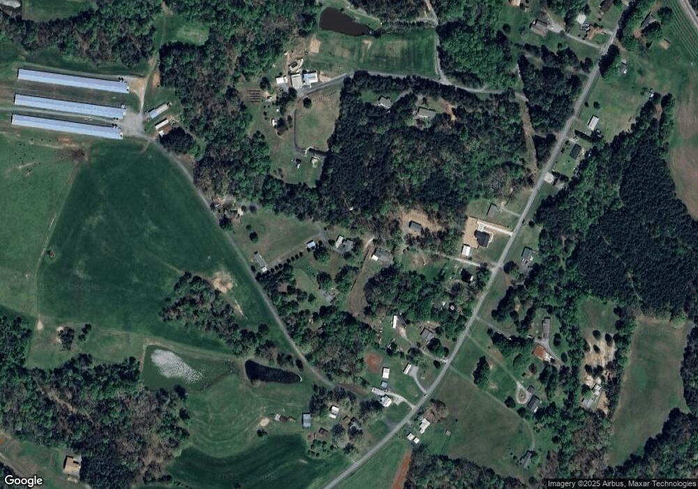
Map
Nearby Homes
- 5486 E Highway 27
- 1987 & 1981 Magnolia Grove Rd
- 3388 Rhyne Forest Rd
- 1554 Forum Ln
- 1481 Depot St
- 3960 Orchard Rd
- 2651 Keever Dairy Farm Rd
- 3132 Fox Den Cir
- 1279 Craig Dr
- 1371 Alexis High Shoals Rd
- 00 Southmont Rd
- 1341 Mirror Lake Rd
- 1351 Hardin Rd
- 222 Oakhill St
- 429 Link Dr
- 1585 Salem Church Rd
- 4394 Mountain Creek Rd
- 2452 Salem Church Rd
- 1743 Autumn Banks Way Unit 73p
- 1747 Autumn Banks Way Unit 75p
- 2993 Dusty Ln
- 2967 Dusty Ln
- 2334 Devine Rd
- 2985 Dusty Ln
- 2302 Devine Rd
- 2352 Devine Rd
- 2258 Devine Rd
- 2362 Devine Rd
- 3311 Farm Pond Ln
- 2388 Devine Rd
- 2281 Devine Rd
- 2261 Devine Rd
- 2343 Devine Rd
- 2305 Devine Rd
- #1 Devine Rd
- 2259 Devine Rd
- 2311 Devine Rd
- 2213 Devine Rd
- 2337 Devine Rd
- 3337 Farm Pond Ln