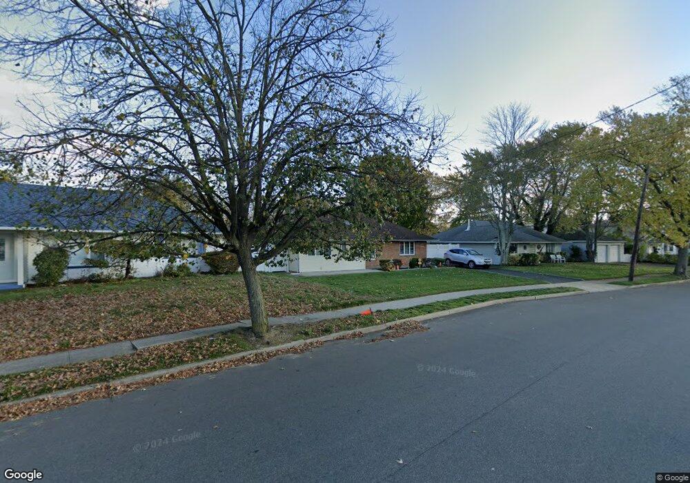
2983 Fortesque Ave Oceanside, NY 11572
Estimated Value: $629,045 - $833,000
Studio
1
Bath
1,624
Sq Ft
$450/Sq Ft
Est. Value
About This Home
This home is located at 2983 Fortesque Ave, Oceanside, NY 11572 and is currently estimated at $731,023, approximately $450 per square foot. 2983 Fortesque Ave is a home located in Nassau County with nearby schools including Oaks Elementary School - School 3, Oceanside Middle School, and Oceanside High School.
Ownership History
Date
Name
Owned For
Owner Type
Purchase Details
Closed on
Jan 31, 2015
Sold by
Buamann Michael and Baumann Nancy
Bought by
Baumann Michael
Current Estimated Value
Home Financials for this Owner
Home Financials are based on the most recent Mortgage that was taken out on this home.
Original Mortgage
$11,119
Outstanding Balance
$3,834
Interest Rate
3.15%
Mortgage Type
New Conventional
Estimated Equity
$727,189
Purchase Details
Closed on
Sep 8, 2005
Sold by
Khan Mohammad
Bought by
Baumann Michael
Purchase Details
Closed on
Nov 1, 2001
Sold by
Chaiken Susan
Bought by
Kahn Mohammad A
Create a Home Valuation Report for This Property
The Home Valuation Report is an in-depth analysis detailing your home's value as well as a comparison with similar homes in the area
Home Values in the Area
Average Home Value in this Area
Purchase History
| Date | Buyer | Sale Price | Title Company |
|---|---|---|---|
| Baumann Michael | -- | Fidelity National Title | |
| Baumann Michael | $530,000 | -- | |
| Kahn Mohammad A | $261,000 | Greg Lisi |
Source: Public Records
Mortgage History
| Date | Status | Borrower | Loan Amount |
|---|---|---|---|
| Open | Baumann Michael | $11,119 |
Source: Public Records
Tax History
| Year | Tax Paid | Tax Assessment Tax Assessment Total Assessment is a certain percentage of the fair market value that is determined by local assessors to be the total taxable value of land and additions on the property. | Land | Improvement |
|---|---|---|---|---|
| 2025 | $11,322 | $443 | $179 | $264 |
| 2024 | $3,800 | $470 | $190 | $280 |
Source: Public Records
Map
Nearby Homes
- 25 Sunnybrook Dr E
- 2860 Lenox Rd
- 30 Gifford Ave
- 2730 Remsen St
- 2941 Moreland Ave
- 3195 Nantucket Ln
- 3354 Knight St
- 2778 King St
- 613 Smith Place
- 2860 Nicole Ct
- 222 Chance Dr
- 254 Elizabeth Ave
- 2910 Yale Place
- 647 Lincoln St
- 704 Barnes Ave
- 2929 Yale Place
- 689 Arlington Ave
- 3432 Bayfield Blvd
- 2975 Oceanside Rd
- 2847 Grand Ave
- 2977 Fortesque Ave
- 2991 Fortesque Ave
- 2976 Derby Dr W
- 2971 Fortesque Ave
- 2990 Fortesque Ave
- 2987 Fortesque Ave
- 2976 Fortesque Ave
- 2972 Derby Dr W
- 514 Derby Dr S
- 2992 Fortesque Ave
- 2965 Fortesque Ave
- 2993 Fortesque Ave
- 481 Sunnybrook Dr
- 481 Sunnybrook Dr W
- 2998 Fortesque Ave
- 426 Mildred St
- 2966 Derby Dr W
- 475 Sunnybrook Dr W
- 475 Sunnybrook Dr
- 2959 Fortesque Ave
Your Personal Tour Guide
Ask me questions while you tour the home.