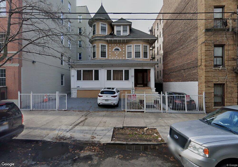
2983 Marion Ave Bronx, NY 10458
Bedford Park NeighborhoodEstimated Value: $869,000 - $1,130,000
--
Bed
--
Bath
4,160
Sq Ft
$235/Sq Ft
Est. Value
About This Home
This home is located at 2983 Marion Ave, Bronx, NY 10458 and is currently estimated at $976,357, approximately $234 per square foot. 2983 Marion Ave is a home located in Bronx County with nearby schools including Ps 20 George J Werdan Iii, J.H.S. 080 The Mosholu Parkway, and St Philip Neri School.
Ownership History
Date
Name
Owned For
Owner Type
Purchase Details
Closed on
Jul 19, 1999
Sold by
Ally Amzad
Bought by
Singh Ramkeshwar and Singh Anjanie
Current Estimated Value
Home Financials for this Owner
Home Financials are based on the most recent Mortgage that was taken out on this home.
Original Mortgage
$266,000
Interest Rate
7.73%
Create a Home Valuation Report for This Property
The Home Valuation Report is an in-depth analysis detailing your home's value as well as a comparison with similar homes in the area
Home Values in the Area
Average Home Value in this Area
Purchase History
| Date | Buyer | Sale Price | Title Company |
|---|---|---|---|
| Singh Ramkeshwar | $280,000 | Chicago Title Insurance Co | |
| Singh Ramkeshwar | $280,000 | Chicago Title Insurance Co |
Source: Public Records
Mortgage History
| Date | Status | Borrower | Loan Amount |
|---|---|---|---|
| Previous Owner | Singh Ramkeshwar | $266,000 |
Source: Public Records
Tax History Compared to Growth
Tax History
| Year | Tax Paid | Tax Assessment Tax Assessment Total Assessment is a certain percentage of the fair market value that is determined by local assessors to be the total taxable value of land and additions on the property. | Land | Improvement |
|---|---|---|---|---|
| 2025 | $7,268 | $39,839 | $8,062 | $31,777 |
| 2024 | $7,268 | $37,584 | $6,974 | $30,610 |
| 2023 | $7,349 | $37,584 | $6,059 | $31,525 |
| 2022 | $6,928 | $56,520 | $10,320 | $46,200 |
| 2021 | $7,103 | $56,280 | $10,320 | $45,960 |
| 2020 | $6,731 | $48,660 | $10,320 | $38,340 |
| 2019 | $6,259 | $48,300 | $10,320 | $37,980 |
| 2018 | $6,087 | $31,320 | $8,759 | $22,561 |
| 2017 | $5,840 | $30,120 | $10,320 | $19,800 |
| 2016 | $5,552 | $29,325 | $9,909 | $19,416 |
| 2015 | $3,592 | $27,666 | $7,579 | $20,087 |
| 2014 | $3,592 | $26,100 | $8,580 | $17,520 |
Source: Public Records
Map
Nearby Homes
- 325 E 201st St Unit 4D
- 325 E 201st St Unit 3J
- 340 E Mosholu Pkwy S Unit 2C
- 340 E Mosholu Pkwy S Unit 4E
- 340 E Mosholu Pkwy S Unit 1-A
- 306 E Mosholu Pkwy S Unit 1F
- 306 E Mosholu Pkwy S Unit 1D
- 306 E Mosholu Pkwy S Unit 3K
- 306 E Mosholu Pkwy S Unit 6K
- 306 S Mosholu Pkwy Unit 6K
- 306 E Mosholu Pkwy S Unit 3D
- 2962 Decatur Ave Unit 1D
- 2962 Decatur Ave Unit 5th Floor
- 2962 Decatur Ave Unit 4B
- 2962 Decatur Ave Unit 5G
- 3000 Valentine Ave Unit 5J
- 3000 Valentine Ave Unit 5G
- 3000 Valentine Ave Unit 2E
- 3000 Valentine Ave Unit 1D
- 3000 Valentine Ave Unit 3-E
- 2979 Marion Ave
- 2989-2991 Marion Ave
- 326 E 201st St
- 2978 Perry Ave
- 2974 Perry Ave
- 2975 Marion Ave
- 2980 Perry Ave
- 322 E 201st St
- 2986 Marion Ave
- 2968 Perry Ave
- 320 E 201st St
- 2976 Marion Ave Unit F 1
- 2976 Marion Ave Unit D 2
- 2976 Marion Ave
- 2976 Marion Ave Unit A-4
- 2976 Marion Ave Unit H-6
- 2976 Marion Ave Unit B-5
- 2971 Marion Ave
- 360 E 201st St
- 2995 Marion Ave