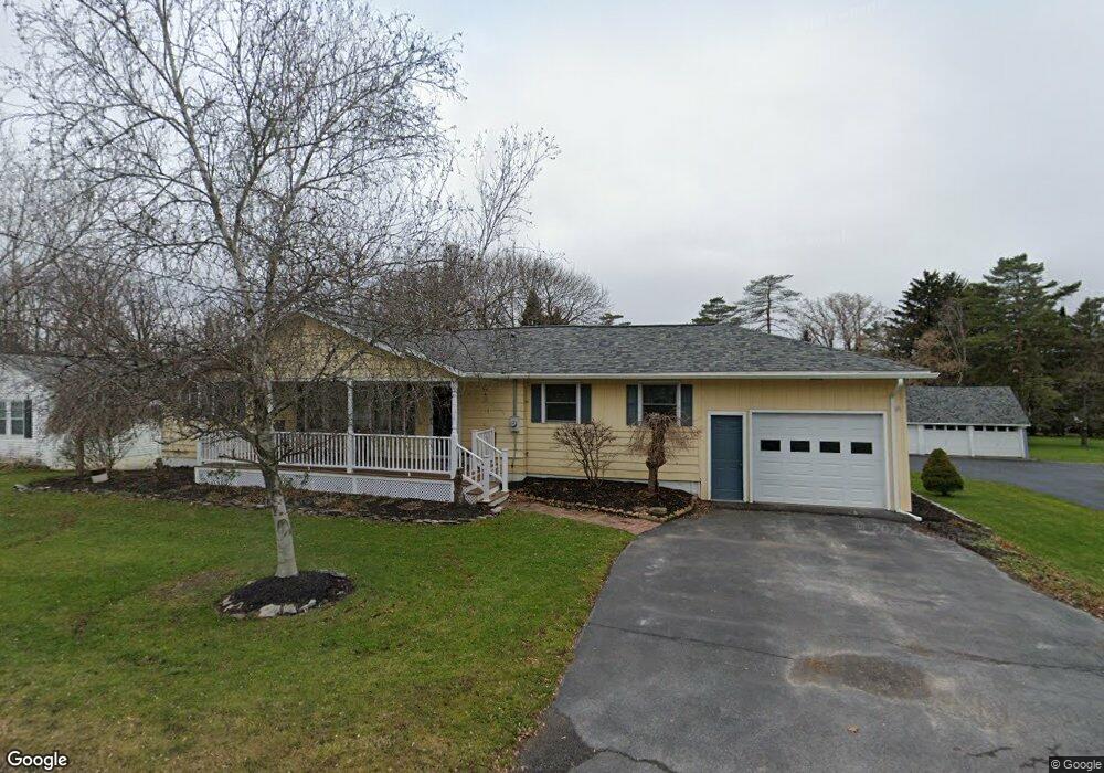
2983 Mohawk St Sauquoit, NY 13456
Estimated Value: $287,002 - $337,000
3
Beds
3
Baths
1,600
Sq Ft
$193/Sq Ft
Est. Value
About This Home
This home is located at 2983 Mohawk St, Sauquoit, NY 13456 and is currently estimated at $309,501, approximately $193 per square foot. 2983 Mohawk St is a home located in Oneida County with nearby schools including Sauquoit Valley Elementary School, Sauquoit Valley Middle School, and Sauquoit Valley High School.
Ownership History
Date
Name
Owned For
Owner Type
Purchase Details
Closed on
Sep 24, 2007
Sold by
Cartus Financial Corp
Bought by
Deep Norman P
Current Estimated Value
Home Financials for this Owner
Home Financials are based on the most recent Mortgage that was taken out on this home.
Original Mortgage
$127,710
Outstanding Balance
$54,119
Interest Rate
6.63%
Mortgage Type
Purchase Money Mortgage
Estimated Equity
$255,382
Purchase Details
Closed on
Oct 13, 2005
Sold by
Thomas Nancy A
Bought by
Thomas Diane M
Create a Home Valuation Report for This Property
The Home Valuation Report is an in-depth analysis detailing your home's value as well as a comparison with similar homes in the area
Home Values in the Area
Average Home Value in this Area
Purchase History
| Date | Buyer | Sale Price | Title Company |
|---|---|---|---|
| Deep Norman P | $141,900 | Herbert Cully | |
| Cartus Financial Corp | $141,900 | Stanley Frank | |
| Thomas Diane M | $140,000 | William Borrill |
Source: Public Records
Mortgage History
| Date | Status | Borrower | Loan Amount |
|---|---|---|---|
| Open | Cartus Financial Corp | $127,710 | |
| Closed | Cartus Financial Corp | $127,710 |
Source: Public Records
Tax History
| Year | Tax Paid | Tax Assessment Tax Assessment Total Assessment is a certain percentage of the fair market value that is determined by local assessors to be the total taxable value of land and additions on the property. | Land | Improvement |
|---|---|---|---|---|
| 2024 | $6,637 | $148,600 | $23,800 | $124,800 |
| 2023 | $6,371 | $148,600 | $23,800 | $124,800 |
| 2022 | $6,189 | $148,600 | $23,800 | $124,800 |
| 2021 | $6,036 | $148,600 | $23,800 | $124,800 |
| 2020 | $6,250 | $148,600 | $23,800 | $124,800 |
| 2019 | $4,200 | $148,600 | $23,800 | $124,800 |
| 2018 | $4,314 | $148,600 | $23,800 | $124,800 |
| 2017 | $4,200 | $148,600 | $23,800 | $124,800 |
| 2016 | $4,022 | $148,600 | $23,800 | $124,800 |
| 2015 | -- | $148,600 | $23,800 | $124,800 |
| 2014 | -- | $148,600 | $23,800 | $124,800 |
Source: Public Records
Map
Nearby Homes
- 2868 Oneida St
- 2774 Oneida St
- 2689 Sulphur Springs Rd
- 9433 Elm St
- 0 Kay Cir
- 7 Catlin Ave
- 18 Gridley Place
- 9605 Morgan Rd
- 2357 Main St
- 10017 Mallory Rd
- 3566 Oneida St
- 0 Mallory Rd Unit S1670337
- 2255 Oneida St
- 9666 Mallory Rd
- 8789 Grange Hill Rd
- 00 Kingfisher Ln
- 615 Higby
- 8896 Red Hill Rd
- 0 Mallory Rd
- 1 Higby Hills Dr
- 2981 Mohawk St
- 2989 Mohawk St Unit WS
- 2982 Mohawk St
- 2986 Mohawk St Unit 2988
- 999 Mohawk St
- 2980 Mohawk St
- 2990 Mohawk St Unit 2992
- 7 Arbor Place
- 9641 Pinnacle Rd
- 9635 Pinnacle Rd
- 9631 Pinnacle Rd
- 6 Pine Cir
- 9627 Pinnacle Rd
- 13 Arbor Place
- 4 Arbor Place
- 9653 Pinnacle Rd
- 9623 Pinnacle Rd
- 9661 Pinnacle Rd
- 3011 Mohawk St
Your Personal Tour Guide
Ask me questions while you tour the home.