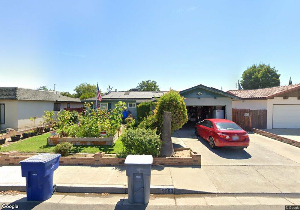
2983 Paula Dr Clovis, CA 93612
Estimated Value: $293,000 - $348,000
About This Home
This home is located at 2983 Paula Dr, Clovis, CA 93612 and is currently estimated at $325,966, approximately $296 per square foot. 2983 Paula Dr is a home located in Fresno County with nearby schools including Viking Elementary School, Ahwahnee Middle School, and Herbert Hoover High School.
Ownership History
We collect this data history from publicly available records. To have your information removed, we recommend requesting removal directly through your county’s website.
Purchase Details
Home Financials for this Owner
Home Financials are based on the most recent Mortgage that was taken out on this home.Home Values in the Area
Average Home Value in this Area
Purchase History
We collect this data history from publicly available records. To have your information removed, we recommend requesting removal directly through your county’s website.
| Date | Buyer | Sale Price | Title Company |
|---|---|---|---|
| $64,000 | -- |
Mortgage History
We collect this data history from publicly available records. To have your information removed, we recommend requesting removal directly through your county’s website.
| Date | Status | Borrower | Loan Amount |
|---|---|---|---|
| Open | $64,000 |
Tax History
We collect this data history from publicly available records. To have your information removed, we recommend requesting removal directly through your county’s website.
| Year | Tax Paid | Tax Assessment Tax Assessment Total Assessment is a certain percentage of the fair market value that is determined by local assessors to be the total taxable value of land and additions on the property. | Land | Improvement |
|---|---|---|---|---|
| 2025 | $718 | $61,845 | $14,984 | $46,861 |
| 2023 | $676 | $59,446 | $14,403 | $45,043 |
| 2022 | $665 | $58,281 | $14,121 | $44,160 |
| 2021 | $646 | $57,140 | $13,845 | $43,295 |
| 2020 | $642 | $56,556 | $13,704 | $42,852 |
| 2019 | $616 | $55,448 | $13,436 | $42,012 |
| 2018 | $602 | $54,362 | $13,173 | $41,189 |
| 2017 | $590 | $53,297 | $12,915 | $40,382 |
| 2016 | $570 | $52,253 | $12,662 | $39,591 |
| 2015 | $560 | $51,469 | $12,472 | $38,997 |
| 2014 | $549 | $50,462 | $12,228 | $38,234 |
Map
- 4535 N Laureen Ave
- 703 W Holland Ave
- 692 W Gettysburg Ave
- 4888 E Rialto Ave
- 4497 N Chestnut Ave
- 4527 N Chestnut Ave
- 637 W Ashlan Ave
- 4654 N Chestnut Ave Unit 152
- 4842 E San Gabriel Ave
- 4768 E Gettysburg Ave
- 534 W Swift Ave
- 822 W Alamos Ave
- 571 W Ashlan Ave
- 4839 E Santa Ana Ave
- 5098 E Ashlan Ave Unit 117
- 974 W Fairmont Ave
- 5118 E Ashlan Ave Unit 102
- 821 W Fairmont Ave
- 4706 E San Gabriel Ave
- 424 W Rialto Ave
- 924 W Ashcroft Ave
- 912 W Ashcroft Ave
- 932 W Ashcroft Ave
- 921 W Holland Ave
- 921 W Holland Ave
- 911 W Holland Ave
- 931 W Holland Ave
- 931 W Holland Ave
- 902 W Ashcroft Ave
- 901 W Holland Ave
- 2953 Fine Ave
- 901 W Holland Ave
- 2961 Paula Dr
- 2995 Paula Dr
- 896 W Ashcroft Ave
- 2948 Fine Ave
- 2943 Fine Ave
- 895 W Holland Ave
- 899 W Ashcroft Ave
- 2941 Paula Dr
Ask me questions while you tour the home.