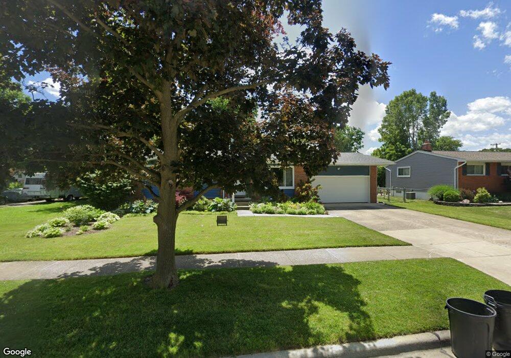
29845 Bridge St Garden City, MI 48135
Estimated Value: $183,164 - $224,000
--
Bed
1
Bath
1,101
Sq Ft
$192/Sq Ft
Est. Value
About This Home
This home is located at 29845 Bridge St, Garden City, MI 48135 and is currently estimated at $211,041, approximately $191 per square foot. 29845 Bridge St is a home located in Wayne County with nearby schools including Douglas Elementary 3-4 Campus, Memorial Elementary 1-2 Campus, and Garden City Middle School.
Ownership History
Date
Name
Owned For
Owner Type
Purchase Details
Closed on
Jan 9, 2017
Sold by
Angelo Laurie A D and Warner Brian P
Bought by
Thompson Keith D
Current Estimated Value
Purchase Details
Closed on
Oct 12, 2015
Sold by
Angelo Laurie A D and Warner Brian P
Bought by
Thompson Keith and Thompson Lindy
Purchase Details
Closed on
Apr 16, 2015
Sold by
Warner Patrick P and Warner Doris E
Bought by
Angelo Laurie A D and Thompson Lindy S
Create a Home Valuation Report for This Property
The Home Valuation Report is an in-depth analysis detailing your home's value as well as a comparison with similar homes in the area
Home Values in the Area
Average Home Value in this Area
Purchase History
| Date | Buyer | Sale Price | Title Company |
|---|---|---|---|
| Thompson Keith D | -- | None Available | |
| Thompson Keith | $56,250 | Attorney | |
| Angelo Laurie A D | -- | Greco |
Source: Public Records
Mortgage History
| Date | Status | Borrower | Loan Amount |
|---|---|---|---|
| Closed | Thompson Keith | $0 |
Source: Public Records
Tax History Compared to Growth
Tax History
| Year | Tax Paid | Tax Assessment Tax Assessment Total Assessment is a certain percentage of the fair market value that is determined by local assessors to be the total taxable value of land and additions on the property. | Land | Improvement |
|---|---|---|---|---|
| 2025 | $2,255 | $88,600 | $0 | $0 |
| 2024 | $2,255 | $87,900 | $0 | $0 |
| 2023 | $2,132 | $81,000 | $0 | $0 |
| 2022 | $2,391 | $70,500 | $0 | $0 |
| 2021 | $2,340 | $66,100 | $0 | $0 |
| 2020 | $2,350 | $63,600 | $0 | $0 |
| 2019 | $1,933 | $58,000 | $0 | $0 |
| 2018 | $1,722 | $48,600 | $0 | $0 |
| 2017 | $557 | $45,700 | $0 | $0 |
| 2016 | $1,957 | $41,400 | $0 | $0 |
| 2015 | $3,434 | $37,800 | $0 | $0 |
| 2013 | -- | $35,500 | $0 | $0 |
| 2012 | $1,987 | $36,600 | $13,700 | $22,900 |
Source: Public Records
Map
Nearby Homes
- 29801 Bridge St
- 6747 Burnly St
- 6649 Burnly St
- 29498 Bridge St
- 6705 Whitby St
- 29878 Malvern St
- 6727 Hawthorne St
- 28912 Cambridge St
- 7505 Donna St
- 7637 Melvin Ave
- 29825 Dawson Ave
- 29825 Dawson St
- 28627 Bridge St
- 6557 Huntleigh St
- 28843 Balmoral St
- 6439 Huntleigh St
- 28832 Block St
- 29256 Brody Ave
- 5689 Brandt St
- 30436 Beechwood St
- 29811 Bridge St
- 29879 Bridge St
- 29850 Cambridge St
- 29895 Bridge St
- 29880 Cambridge St
- 29822 Cambridge St
- 29800 Cambridge St
- 29645 Bridge St
- 29850 Bridge St
- 29894 Cambridge St
- 29826 Bridge St
- 29880 Bridge St
- 29668 Cambridge St
- 29621 Bridge St
- 29647 Bridge St
- 29896 Bridge St
- 29646 Bridge St
- 29804 Bridge St
- 29650 Cambridge St
- 6850 Burnly St