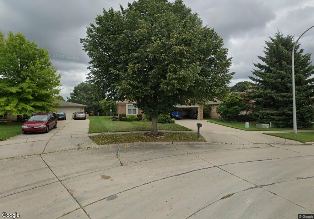
29848 Ledford Dr Warren, MI 48088
Northeast Warren NeighborhoodEstimated Value: $308,000 - $338,000
3
Beds
4
Baths
1,918
Sq Ft
$166/Sq Ft
Est. Value
About This Home
This home is located at 29848 Ledford Dr, Warren, MI 48088 and is currently estimated at $318,358, approximately $165 per square foot. 29848 Ledford Dr is a home located in Macomb County with nearby schools including Warren Woods Tower High School, Michigan Collegiate Elementary, and Warren Woods Christian School.
Ownership History
Date
Name
Owned For
Owner Type
Purchase Details
Closed on
Apr 27, 2023
Sold by
Husk Ronald G and Husk Wendy J
Bought by
Malcszyk Joseph
Current Estimated Value
Home Financials for this Owner
Home Financials are based on the most recent Mortgage that was taken out on this home.
Original Mortgage
$196,000
Outstanding Balance
$189,009
Interest Rate
4.99%
Mortgage Type
New Conventional
Estimated Equity
$129,349
Create a Home Valuation Report for This Property
The Home Valuation Report is an in-depth analysis detailing your home's value as well as a comparison with similar homes in the area
Home Values in the Area
Average Home Value in this Area
Purchase History
| Date | Buyer | Sale Price | Title Company |
|---|---|---|---|
| Malcszyk Joseph | $280,000 | None Listed On Document |
Source: Public Records
Mortgage History
| Date | Status | Borrower | Loan Amount |
|---|---|---|---|
| Open | Malcszyk Joseph | $196,000 |
Source: Public Records
Tax History Compared to Growth
Tax History
| Year | Tax Paid | Tax Assessment Tax Assessment Total Assessment is a certain percentage of the fair market value that is determined by local assessors to be the total taxable value of land and additions on the property. | Land | Improvement |
|---|---|---|---|---|
| 2025 | $7,771 | $147,260 | $0 | $0 |
| 2024 | $7,551 | $144,640 | $0 | $0 |
| 2023 | $3,747 | $133,650 | $0 | $0 |
| 2022 | $3,674 | $119,010 | $0 | $0 |
| 2021 | $3,605 | $108,320 | $0 | $0 |
| 2020 | $3,455 | $107,920 | $0 | $0 |
| 2019 | $3,301 | $101,550 | $0 | $0 |
| 2018 | $98 | $93,590 | $0 | $0 |
| 2017 | $3,153 | $96,830 | $11,110 | $85,720 |
| 2016 | $3,128 | $96,830 | $0 | $0 |
| 2015 | -- | $94,470 | $0 | $0 |
| 2012 | -- | $60,990 | $0 | $0 |
Source: Public Records
Map
Nearby Homes
- 15225 Common Rd
- 15102 Raphael Terrace Unit K67
- 29448 El Dorado Plaza
- 30324 Glenwood Cir
- 29201 Hayes Rd Unit G-1
- 29273 Rd
- 29272 Gloede Dr Unit 16
- 29304 Gloede Dr
- 29249 Hayes #74 Rd Unit 74
- 30464 Hayes Rd
- 14625 Bade Dr
- 30607 Glenwood Cir
- 29101 Hayes Rd
- 15797 Common Rd
- 30644 Hayes Rd
- 15867 Loreto St
- 14219 Harrison Dr
- 30214 J Carls St
- 14310 Talbot Dr
- 14159 Ivanhoe Dr
- 29836 Ledford Dr
- 15121 Lane Dr
- 29824 Ledford Dr
- 0 Hayes Rd
- 29841 Ledford Dr
- 15055 Lane Dr
- 29829 Ledford Dr
- 29800 Ledford Dr
- 15043 Lane Dr
- 29817 Ledford Dr
- 15028 Lane Dr
- 15031 Lane Dr
- 29756 Ledford Dr
- 29805 Ledford Dr
- 30005 Hayes Rd
- 30006 Rosenbusch Dr
- 15019 Lane Dr
- 29744 Ledford Dr
- 15016 Lane Dr
- 29753 Ledford Dr