2985 Foster Rd Buford, GA 30519
Estimated Value: $469,000 - $623,000
3
Beds
3
Baths
2,388
Sq Ft
$229/Sq Ft
Est. Value
About This Home
This home is located at 2985 Foster Rd, Buford, GA 30519 and is currently estimated at $546,000, approximately $228 per square foot. 2985 Foster Rd is a home with nearby schools including Harmony Elementary School and Glenn C. Jones Middle School.
Ownership History
Date
Name
Owned For
Owner Type
Purchase Details
Closed on
Nov 30, 2021
Sold by
C & S Burnette Joint Rev Tr
Bought by
Allen Richard G and Allen Elizabeth A
Current Estimated Value
Home Financials for this Owner
Home Financials are based on the most recent Mortgage that was taken out on this home.
Original Mortgage
$250,000
Outstanding Balance
$229,398
Interest Rate
3.09%
Mortgage Type
New Conventional
Estimated Equity
$316,602
Purchase Details
Closed on
Oct 21, 2020
Sold by
Vannguyen Trai Van
Bought by
Burnette Stanton Lane and C&S Burnette Joint Rev Tr
Purchase Details
Closed on
Apr 14, 2016
Sold by
Shadburn Tommy L
Bought by
Vanvannguyen Trai Van and Truong Nhan Hue
Create a Home Valuation Report for This Property
The Home Valuation Report is an in-depth analysis detailing your home's value as well as a comparison with similar homes in the area
Home Values in the Area
Average Home Value in this Area
Purchase History
| Date | Buyer | Sale Price | Title Company |
|---|---|---|---|
| Allen Richard G | $285,000 | -- | |
| Burnette Stanton Lane | $274,450 | -- | |
| Vanvannguyen Trai Van | $80,000 | -- |
Source: Public Records
Mortgage History
| Date | Status | Borrower | Loan Amount |
|---|---|---|---|
| Open | Allen Richard G | $250,000 |
Source: Public Records
Tax History
| Year | Tax Paid | Tax Assessment Tax Assessment Total Assessment is a certain percentage of the fair market value that is determined by local assessors to be the total taxable value of land and additions on the property. | Land | Improvement |
|---|---|---|---|---|
| 2025 | -- | $287,760 | $110,200 | $177,560 |
| 2024 | $10,547 | $287,760 | $110,200 | $177,560 |
| 2023 | $10,547 | $200,200 | $110,200 | $90,000 |
| 2022 | $2,233 | $62,880 | $62,880 | $0 |
| 2021 | $2,277 | $62,880 | $62,880 | $0 |
| 2020 | $2,293 | $62,880 | $62,880 | $0 |
| 2019 | $1,127 | $32,000 | $32,000 | $0 |
| 2018 | $1,132 | $32,000 | $32,000 | $0 |
| 2016 | $771 | $22,000 | $22,000 | $0 |
| 2015 | $781 | $22,000 | $22,000 | $0 |
| 2014 | $607 | $17,000 | $17,000 | $0 |
Source: Public Records
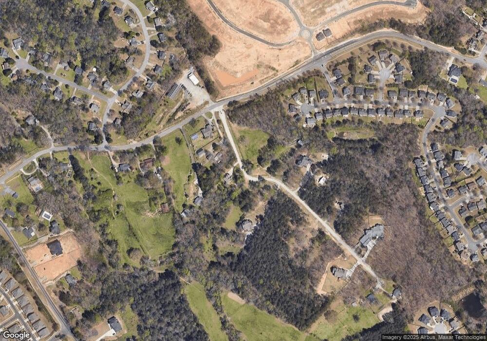
Map
Nearby Homes
- 3671 Hamilton Mill Rd
- 3721 Bogan Mill Rd
- 3570 Bogan Mill Rd NE
- 3561 Bogan Mill Rd
- 3525 Hamilton Mill Rd
- 2716 Hamilton Mill Rd
- 3848 Heirloom Loop Ct
- 3200 Golden Spring Dr
- 3861 Heirloom Loop Ct NE
- 3458 Crayton Glen Way
- 3488 Hamilton Mill Rd
- 3713 Golden Ive Dr
- 3976 Woodruff Park Way Unit 1
- 3363 Old Oaks Rd
- 2710 Kilgore Rd
- 2705 Chandler Grove Dr
- 3395 Reed Mill Dr
- 2718 Kilgore Rd
- 3075 Andover Trail
- 3761 Andover Way
- 2979 Bart Johnson Rd
- 2969 Foster Rd
- 2977 Foster Rd
- 2900 Bart Johnson Rd
- 2931 Bart Johnson Rd
- 2983 Bart Johnson Rd
- 2981 Bart Johnson Rd
- 2975 Bart Johnson Rd
- 2993 Bart Johnson Rd
- 3930 Bogan Mill Rd
- 3920 Bogan Mill Rd
- 3930 Bogan Mill Rd NE
- 2939 Bart Johnson Rd
- 2939 Bart Johnson Rd Unit 1
- 3910 Bogan Mill Rd
- 3941 Bogan Mill Rd
- 3651 Hamilton Mill Rd
- 3900 Bogan Mill Rd
- 1217 Sydney Mill Ct
- 2891 Bart Johnson Rd
Your Personal Tour Guide
Ask me questions while you tour the home.