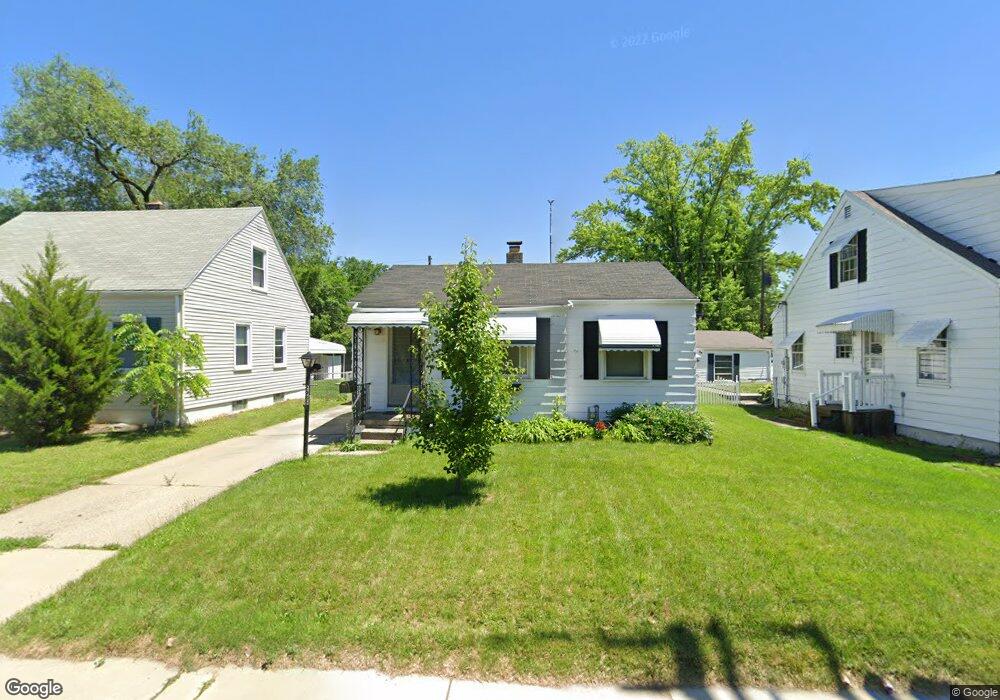
2985 S Byrne Rd Toledo, OH 43614
Beverly NeighborhoodEstimated Value: $91,000 - $132,000
2
Beds
1
Bath
659
Sq Ft
$177/Sq Ft
Est. Value
About This Home
This home is located at 2985 S Byrne Rd, Toledo, OH 43614 and is currently estimated at $116,622, approximately $176 per square foot. 2985 S Byrne Rd is a home located in Lucas County with nearby schools including Beverly Elementary School, Bowsher High School, and Our Lady of Perpetual Help School.
Ownership History
Date
Name
Owned For
Owner Type
Purchase Details
Closed on
Sep 29, 2022
Sold by
Hand Rory R and Hand Cheryl L
Bought by
Rory And Cheryl Hand Living Trust and Hand
Current Estimated Value
Purchase Details
Closed on
Sep 20, 2003
Sold by
Callahan Timothy R and Callahan Cathy L
Bought by
Hand Rory R and Hand Cheryl L
Purchase Details
Closed on
Jul 8, 2003
Sold by
Estate Of Robert Lewis Callahan
Bought by
Callahan Timothy R
Create a Home Valuation Report for This Property
The Home Valuation Report is an in-depth analysis detailing your home's value as well as a comparison with similar homes in the area
Home Values in the Area
Average Home Value in this Area
Purchase History
| Date | Buyer | Sale Price | Title Company |
|---|---|---|---|
| Rory And Cheryl Hand Living Trust | -- | None Listed On Document | |
| Hand Rory R | $53,000 | -- | |
| Callahan Timothy R | -- | -- |
Source: Public Records
Tax History Compared to Growth
Tax History
| Year | Tax Paid | Tax Assessment Tax Assessment Total Assessment is a certain percentage of the fair market value that is determined by local assessors to be the total taxable value of land and additions on the property. | Land | Improvement |
|---|---|---|---|---|
| 2024 | $941 | $29,260 | $6,195 | $23,065 |
| 2023 | $1,639 | $24,115 | $5,565 | $18,550 |
| 2022 | $1,600 | $24,115 | $5,565 | $18,550 |
| 2021 | $1,629 | $24,115 | $5,565 | $18,550 |
| 2020 | $1,587 | $20,475 | $4,620 | $15,855 |
| 2019 | $1,537 | $20,475 | $4,620 | $15,855 |
| 2018 | $1,499 | $20,475 | $4,620 | $15,855 |
| 2017 | $1,477 | $18,515 | $6,160 | $12,355 |
| 2016 | $1,476 | $52,900 | $17,600 | $35,300 |
| 2015 | $1,460 | $52,900 | $17,600 | $35,300 |
| 2014 | $1,165 | $18,520 | $6,160 | $12,360 |
| 2013 | $1,165 | $18,520 | $6,160 | $12,360 |
Source: Public Records
Map
Nearby Homes
- 2930 S Byrne Rd
- 3054 S Byrne Rd
- 3626 Greenlawn Ct
- 3128 Penrose Ave
- 4113 S Detroit Ave
- 3111 Astor Ave
- 3619 Prairie Ave
- 4213 Rugby Dr
- 3627 Golfgate Dr
- 2134 Tedrow Rd
- 4320 Beverly Dr
- 3214 Escott Ave
- 4224 Beverly Dr
- 3157 Dorian Dr
- 3148 Glanzman Rd
- 3264 Escott Ave
- 4669 S Detroit Ave
- 5022 Stengel Ave
- 3157 Strathmoor Ave
- 3728 Richlawn Dr
- 2979 S Byrne Rd
- 4034 Folkstone Rd
- 2975 S Byrne Rd
- 4030 Folkstone Rd
- 3197 Daleford Dr
- 4504 Copland Blvd
- 3193 Daleford Dr
- 3148 Copland Blvd
- 3189 Daleford Dr
- 4024 Folkstone Rd
- 2974 S Byrne Rd
- 4508 Copland Blvd
- 4027 Folkstone Rd
- 2970 S Byrne Rd
- 3185 Daleford Dr
- 2966 S Byrne Rd
- 3144 Copland Blvd
- 4018 Folkstone Rd
- 3181 Daleford Dr
- 3194 Daleford Dr