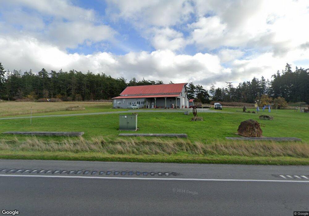
29850 State Route 20 Oak Harbor, WA 98277
Estimated Value: $604,000 - $957,000
3
Beds
2
Baths
2,082
Sq Ft
$397/Sq Ft
Est. Value
About This Home
This home is located at 29850 State Route 20, Oak Harbor, WA 98277 and is currently estimated at $826,953, approximately $397 per square foot. 29850 State Route 20 is a home located in Island County with nearby schools including Oak Harbor Elementary School, Oak Harbor Middle School, and Oak Harbor High School.
Ownership History
Date
Name
Owned For
Owner Type
Purchase Details
Closed on
Aug 11, 2004
Sold by
Yates Pennie L
Bought by
Yates Brian E
Current Estimated Value
Home Financials for this Owner
Home Financials are based on the most recent Mortgage that was taken out on this home.
Original Mortgage
$285,000
Outstanding Balance
$140,045
Interest Rate
5.97%
Mortgage Type
Purchase Money Mortgage
Estimated Equity
$686,908
Create a Home Valuation Report for This Property
The Home Valuation Report is an in-depth analysis detailing your home's value as well as a comparison with similar homes in the area
Home Values in the Area
Average Home Value in this Area
Purchase History
| Date | Buyer | Sale Price | Title Company |
|---|---|---|---|
| Yates Brian E | -- | Chicago Title Co | |
| Yates Brian E | $380,000 | Chicago Title Co Island Div |
Source: Public Records
Mortgage History
| Date | Status | Borrower | Loan Amount |
|---|---|---|---|
| Open | Yates Brian E | $285,000 | |
| Closed | Yates Brian E | $40,000 |
Source: Public Records
Tax History Compared to Growth
Tax History
| Year | Tax Paid | Tax Assessment Tax Assessment Total Assessment is a certain percentage of the fair market value that is determined by local assessors to be the total taxable value of land and additions on the property. | Land | Improvement |
|---|---|---|---|---|
| 2025 | $4,913 | $716,467 | $290,000 | $426,467 |
| 2024 | $4,452 | $693,429 | $260,000 | $433,429 |
| 2023 | $4,452 | $631,121 | $250,000 | $381,121 |
| 2022 | $5,176 | $570,909 | $220,000 | $350,909 |
| 2021 | $4,605 | $500,213 | $190,000 | $310,213 |
| 2020 | $4,360 | $443,789 | $140,000 | $303,789 |
| 2019 | $3,723 | $423,323 | $200,000 | $223,323 |
| 2018 | $4,055 | $394,205 | $170,000 | $224,205 |
| 2017 | $3,810 | $379,862 | $160,000 | $219,862 |
| 2016 | $3,712 | $381,683 | $160,000 | $221,683 |
| 2015 | -- | $358,504 | $135,000 | $223,504 |
| 2013 | -- | $331,636 | $104,490 | $227,146 |
Source: Public Records
Map
Nearby Homes
- 3162 SW Greatview Place
- 560 SW Waterloo Ave
- 3224 SW Scenic Heights St
- 1649 Scenic Heights Rd
- 0 State Route 20 Unit NWM2157311
- 0 State Route 20 Unit NWM2362163
- 0 State Route 20 Unit NWM2157309
- 2447 Ridgeway Dr
- 2443 Ridgeway Dr
- 2425 Ridgeway Dr
- 2406 SW Ridgeway Dr
- 2426 SW Ridgeway Dr
- The Prescott A Plan at Ridgeway Heights
- The Springfield B Plan at Ridgeway Heights
- 2402 Ridgeway Dr
- The Huntington A Plan at Ridgeway Heights
- The Springfield C Plan at Ridgeway Heights
- 2414 Ridgeway Dr
- The Claremont A Plan at Ridgeway Heights
- The Marietta A Plan at Ridgeway Heights
- 29850 Sr 20
- 988 Walker Heights Place
- 980 Walker Heights Place
- 987 Walker Heights Place
- 987 Walker Heights Place Unit PL
- 983 Walker Heights Place
- 978 Walker Heights Place
- 979 Walker Heights Place
- 966 Walker Heights Place
- 973 Walker Heights Place
- 1011 Waterloo Rd
- 954 Walker Heights Place
- 0 0 State Route 20
- 0 Walker Heights Lot 22 Unit 920817
- 942 Walker Heights Place
- 990 Miller Rd
- 936 Walker Heights Place
- 1010 Waterloo Rd
- 937 Walker Heights Place
- 1011 Miller Rd