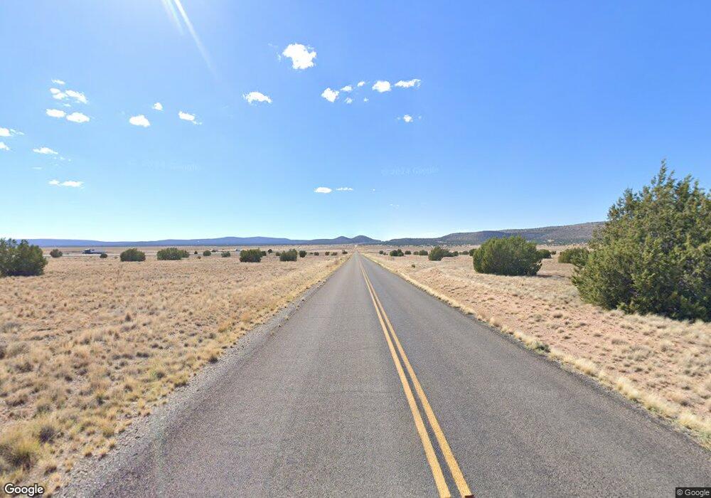
29855 Fort Rock Rd Seligman, AZ 86337
Estimated Value: $132,000 - $282,000
2
Beds
1
Bath
1,110
Sq Ft
$181/Sq Ft
Est. Value
About This Home
This home is located at 29855 Fort Rock Rd, Seligman, AZ 86337 and is currently estimated at $201,397, approximately $181 per square foot. 29855 Fort Rock Rd is a home located in Yavapai County with nearby schools including Seligman Elementary School and Seligman High School.
Ownership History
Date
Name
Owned For
Owner Type
Purchase Details
Closed on
Aug 11, 2010
Sold by
Mason Richard C and Mason Renee B
Bought by
Whisman Rodger D and Whisman Ann G
Current Estimated Value
Home Financials for this Owner
Home Financials are based on the most recent Mortgage that was taken out on this home.
Original Mortgage
$35,752
Interest Rate
4.28%
Mortgage Type
VA
Purchase Details
Closed on
May 18, 2005
Sold by
Mason Richard C
Bought by
Mason Richard C and Mason Renee B
Purchase Details
Closed on
May 6, 2005
Sold by
Oliver Jack D and Oliver Mary Ellen
Bought by
Mason Richard C
Create a Home Valuation Report for This Property
The Home Valuation Report is an in-depth analysis detailing your home's value as well as a comparison with similar homes in the area
Home Values in the Area
Average Home Value in this Area
Purchase History
| Date | Buyer | Sale Price | Title Company |
|---|---|---|---|
| Whisman Rodger D | $40,000 | Yavapai Title Agency Inc | |
| Mason Richard C | -- | Yavapai Title Agency Inc | |
| Mason Richard C | $107,000 | Yavapai Title Agency Inc |
Source: Public Records
Mortgage History
| Date | Status | Borrower | Loan Amount |
|---|---|---|---|
| Previous Owner | Whisman Rodger D | $35,752 |
Source: Public Records
Tax History Compared to Growth
Tax History
| Year | Tax Paid | Tax Assessment Tax Assessment Total Assessment is a certain percentage of the fair market value that is determined by local assessors to be the total taxable value of land and additions on the property. | Land | Improvement |
|---|---|---|---|---|
| 2026 | $578 | $15,805 | -- | -- |
| 2024 | $558 | $12,142 | -- | -- |
| 2023 | $558 | $11,808 | $590 | $11,218 |
| 2022 | $520 | $9,168 | $338 | $8,830 |
| 2021 | $526 | $7,394 | $324 | $7,070 |
| 2020 | $521 | $0 | $0 | $0 |
| 2019 | $503 | $0 | $0 | $0 |
| 2018 | $476 | $0 | $0 | $0 |
| 2017 | $457 | $0 | $0 | $0 |
| 2016 | $437 | $0 | $0 | $0 |
| 2015 | -- | $0 | $0 | $0 |
| 2014 | -- | $0 | $0 | $0 |
Source: Public Records
Map
Nearby Homes
- 29605 Rock Ridge Rd
- 55899 Val Vista
- 29399 Stagecoach Ln Unit 853
- TBD Waterloo Way 1 83 Acres --
- 54413 Thunderbird Ln
- 54593 Thunderbird Ln
- 32209 Corona Way
- 32208 Corona Way
- 55660 La Bruja Rd
- 31254 Abeja
- 30109 W Montecito Ln
- 30549 W Montecito Ln
- 30767 Echo Ln Unit 4549
- Lot 660 W Solano Dr
- 30674 Basconia Ln
- 0 Basconia Ln
- 30743 Basconia Ln Unit 4311
- 30863 W Basconia Rd
- 30863 W Basconia Rd Unit 4315
- 30386 W Basconia Rd Unit 4394
- 29855 Fort Rock Rd Unit 5
- 29855 W Rock Ridge Rd
- 29855 W Rock Ridge Rd
- 29885 W Rock Ridge Rd
- 29675 + W Ridge Rock Rd Unit 4
- 29890 W Rock Ridge Road - Lot Unit 1012
- 29890 Fort Rock Rd
- 29890 Rock Ridge Rd
- 29890 W Rock Ridge Rd Unit 1012
- 1021 Rock Ridge Rd
- 29745 Rock Ridge Rd
- 29745 Rock Ridge Rd Unit 1022
- 1019 Rock Ridge Rd
- 1014 Rock Ridge Rd
- 1026 Rock Ridge Rd
- 0 Rock Ridge Rd
- 1025 Rock Ridge Rd
- 1001 Rock Ridge Rd
- 29620 W Rock Ridge Rd
- 29650 W Rock Ridge Rd
