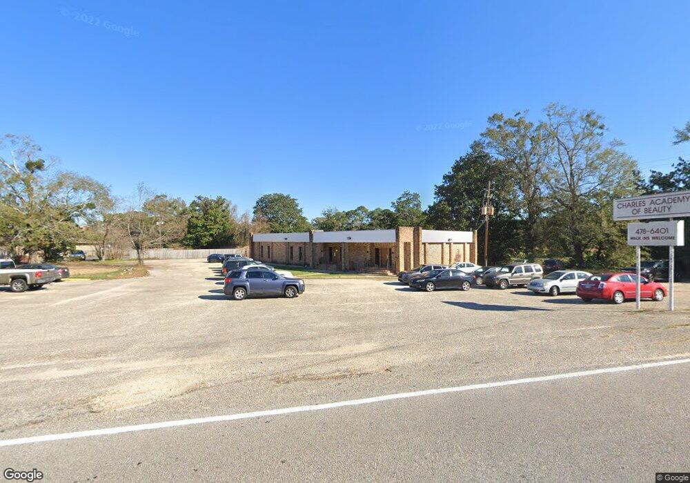
2986 Eslava Creek Pkwy Mobile, AL 36606
Brookwood NeighborhoodEstimated Value: $415,666
--
Bed
1
Bath
4,228
Sq Ft
$98/Sq Ft
Est. Value
About This Home
This home is located at 2986 Eslava Creek Pkwy, Mobile, AL 36606 and is currently estimated at $415,666, approximately $98 per square foot. 2986 Eslava Creek Pkwy is a home located in Mobile County with nearby schools including Westlawn Elementary School, Williamson High School, and Acceleration Day And Evening Academy.
Ownership History
Date
Name
Owned For
Owner Type
Purchase Details
Closed on
Jun 22, 2022
Sold by
Jtl Properties Inc
Bought by
Jenvy Nail Bar Llc
Current Estimated Value
Home Financials for this Owner
Home Financials are based on the most recent Mortgage that was taken out on this home.
Original Mortgage
$300,000
Outstanding Balance
$285,025
Interest Rate
5.1%
Mortgage Type
New Conventional
Estimated Equity
$127,403
Purchase Details
Closed on
May 20, 2019
Sold by
Prine Charles
Bought by
Jtl Properties Inc
Create a Home Valuation Report for This Property
The Home Valuation Report is an in-depth analysis detailing your home's value as well as a comparison with similar homes in the area
Home Values in the Area
Average Home Value in this Area
Purchase History
| Date | Buyer | Sale Price | Title Company |
|---|---|---|---|
| Jenvy Nail Bar Llc | $375,000 | Ledyard Goodman G | |
| Jtl Properties Inc | $350,000 | None Available |
Source: Public Records
Mortgage History
| Date | Status | Borrower | Loan Amount |
|---|---|---|---|
| Open | Jenvy Nail Bar Llc | $300,000 |
Source: Public Records
Tax History Compared to Growth
Tax History
| Year | Tax Paid | Tax Assessment Tax Assessment Total Assessment is a certain percentage of the fair market value that is determined by local assessors to be the total taxable value of land and additions on the property. | Land | Improvement |
|---|---|---|---|---|
| 2024 | $4,269 | $73,900 | $23,240 | $50,660 |
| 2023 | $4,811 | $75,120 | $23,240 | $51,880 |
| 2022 | $4,164 | $65,580 | $13,700 | $51,880 |
| 2021 | $4,252 | $66,960 | $13,700 | $53,260 |
| 2020 | $4,252 | $66,960 | $13,700 | $53,260 |
| 2019 | $3,470 | $54,640 | $13,700 | $40,940 |
| 2018 | $3,470 | $54,640 | $0 | $0 |
| 2017 | $3,470 | $54,640 | $0 | $0 |
| 2016 | $3,545 | $55,820 | $0 | $0 |
| 2013 | $3,279 | $50,760 | $0 | $0 |
Source: Public Records
Map
Nearby Homes
- 361 Coventry Way
- 892 Grant Park Dr
- 2901 Grant St Unit 903
- 2901 Grant St Unit 304
- 2901 Grant St Unit 601
- 324 Hadrian St
- 919 Grant Park Dr
- 321 Thornhill Cir
- 2903 Brierwood Dr
- 254 Berkley Ct
- 421 Pennington Cir
- 420 S Sage Ave Unit 1
- 255 Berkley Ct
- 2867 Thornhill Dr
- 341 S Sage Ave
- 2858 Thornhill Dr
- 2869 Ralston Rd
- 3005 Ralston Rd
- 2855 Ralston Rd
- 509 W Barksdale Dr
- 323 S Sage Ave
- 315 S Sage Ave Unit B
- 315 S Sage Ave Unit D
- 347 Coventry Way
- 328 S Sage Ave
- 351 Coventry Way
- 350 Coventry Way
- 355 Coventry Way
- 960 Grant Park Dr
- 960 Grant Park Dr Unit 29
- 957 Grant Park Dr
- 956 Grant Park Dr
- 2921 Airport Blvd
- 356 Coventry Way
- 953 Grant Park Dr
- 952 Grant Park Dr
- 355 S Sage Ave
- 350 S Sage Ave
- 2914 Grant St
- 0 Grant Park Dr Unit 7060132