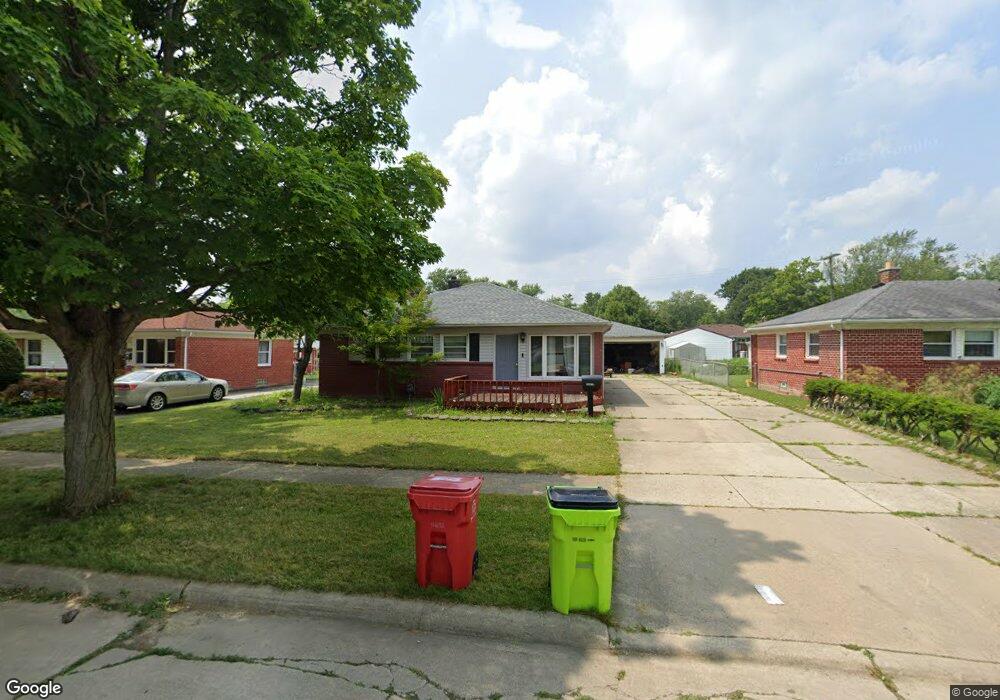
29870 Red Cedar Dr Flat Rock, MI 48134
Estimated Value: $225,000 - $268,000
About This Home
This home is located at 29870 Red Cedar Dr, Flat Rock, MI 48134 and is currently estimated at $248,226, approximately $170 per square foot. 29870 Red Cedar Dr is a home located in Wayne County with nearby schools including Ethel C. Bobcean Elementary School, John M. Barnes Elementary School, and Thomas Simpson Middle School.
Ownership History
We collect this data history from publicly available records. To have your information removed, we recommend requesting removal directly through your county’s website.
Purchase Details
Home Financials for this Owner
Home Financials are based on the most recent Mortgage that was taken out on this home.Purchase Details
Purchase Details
Home Values in the Area
Average Home Value in this Area
Purchase History
We collect this data history from publicly available records. To have your information removed, we recommend requesting removal directly through your county’s website.
| Date | Buyer | Sale Price | Title Company |
|---|---|---|---|
| $85,000 | Progressive Title | ||
| -- | None Available | ||
| $155,000 | -- |
Mortgage History
We collect this data history from publicly available records. To have your information removed, we recommend requesting removal directly through your county’s website.
| Date | Status | Borrower | Loan Amount |
|---|---|---|---|
| Previous Owner | $83,460 |
Tax History
We collect this data history from publicly available records. To have your information removed, we recommend requesting removal directly through your county’s website.
| Year | Tax Paid | Tax Assessment Tax Assessment Total Assessment is a certain percentage of the fair market value that is determined by local assessors to be the total taxable value of land and additions on the property. | Land | Improvement |
|---|---|---|---|---|
| 2025 | $2,657 | $116,000 | $0 | $0 |
| 2024 | $2,579 | $111,500 | $0 | $0 |
| 2023 | $2,460 | $99,200 | $0 | $0 |
| 2022 | $2,977 | $88,100 | $0 | $0 |
| 2021 | $2,770 | $80,300 | $0 | $0 |
| 2020 | $2,734 | $83,700 | $0 | $0 |
| 2019 | $2,683 | $75,000 | $0 | $0 |
| 2018 | $2,085 | $69,100 | $0 | $0 |
| 2017 | $1,096 | $54,600 | $0 | $0 |
| 2016 | $2,520 | $51,500 | $0 | $0 |
| 2015 | $4,645 | $51,000 | $0 | $0 |
| 2013 | $4,500 | $45,000 | $0 | $0 |
| 2012 | $1,860 | $47,400 | $10,500 | $36,900 |
Map
- 29855 Tamarack Ct
- 29656 Walnut St
- 29445 Red Cedar Dr
- 24664 E Huron River Dr
- 29157 S Wesley Ave
- 29019 Sheeks Blvd S
- 23934 Meadows Ave
- 23965 Gibraltar Rd
- VL Gibraltar Rd
- 00 Gibraltar Rd
- 0 Huron River Dr Unit 20261024545
- 26110 Ypsilanti St
- 30232 Torry Ave
- 0000 Cahill Rd
- 26249 Huron River Dr
- 28331 Seneca St
- 4335 Dauncy Rd
- Vacant Lot John L St
- 30537 Linden Ct
- 4064 Will Carleton Rd
- 29882 Red Cedar Dr
- 29856 Red Cedar Dr
- 29844 Red Cedar Dr
- 29894 Red Cedar Dr
- 29871 Aspen Dr
- 29887 Aspen Dr
- 29855 Aspen Dr
- 29832 Red Cedar Dr
- 29908 Red Cedar Dr
- 29917 Aspen Dr
- 29867 Red Cedar Dr
- 29843 Aspen Dr
- 29875 Red Cedar Dr
- 29857 Red Cedar Dr
- 29883 Red Cedar Dr
- 29845 Red Cedar Dr
- 29933 Aspen Dr
- 29820 Red Cedar Dr
- 29920 Red Cedar Dr
- 29897 Red Cedar Dr
Ask me questions while you tour the home.