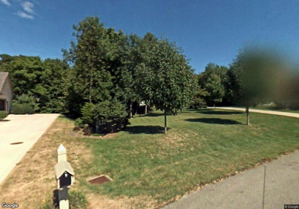
2989 Sandhurst Dr Lewis Center, OH 43035
Orange NeighborhoodEstimated Value: $619,000 - $715,000
4
Beds
2
Baths
3,036
Sq Ft
$220/Sq Ft
Est. Value
About This Home
This home is located at 2989 Sandhurst Dr, Lewis Center, OH 43035 and is currently estimated at $666,656, approximately $219 per square foot. 2989 Sandhurst Dr is a home located in Delaware County with nearby schools including Alum Creek Elementary School, Olentangy Shanahan Middle School, and Olentangy High School.
Ownership History
Date
Name
Owned For
Owner Type
Purchase Details
Closed on
May 1, 1997
Sold by
Brandt Builders Inc
Bought by
Rinehart Gregory D and Rinehart Wendy A
Current Estimated Value
Home Financials for this Owner
Home Financials are based on the most recent Mortgage that was taken out on this home.
Original Mortgage
$214,600
Interest Rate
8.05%
Mortgage Type
New Conventional
Purchase Details
Closed on
Mar 12, 1997
Sold by
Evergreen Land Co
Bought by
Brandt Builders Inc
Home Financials for this Owner
Home Financials are based on the most recent Mortgage that was taken out on this home.
Original Mortgage
$214,600
Interest Rate
8.05%
Mortgage Type
New Conventional
Create a Home Valuation Report for This Property
The Home Valuation Report is an in-depth analysis detailing your home's value as well as a comparison with similar homes in the area
Home Values in the Area
Average Home Value in this Area
Purchase History
| Date | Buyer | Sale Price | Title Company |
|---|---|---|---|
| Rinehart Gregory D | $70,000 | -- | |
| Brandt Builders Inc | $70,000 | -- |
Source: Public Records
Mortgage History
| Date | Status | Borrower | Loan Amount |
|---|---|---|---|
| Closed | Rinehart Gregory D | $214,600 |
Source: Public Records
Tax History Compared to Growth
Tax History
| Year | Tax Paid | Tax Assessment Tax Assessment Total Assessment is a certain percentage of the fair market value that is determined by local assessors to be the total taxable value of land and additions on the property. | Land | Improvement |
|---|---|---|---|---|
| 2024 | $10,414 | $188,860 | $44,730 | $144,130 |
| 2023 | $10,453 | $188,860 | $44,730 | $144,130 |
| 2022 | $9,708 | $142,660 | $31,010 | $111,650 |
| 2021 | $9,763 | $142,660 | $31,010 | $111,650 |
| 2020 | $9,810 | $142,660 | $31,010 | $111,650 |
| 2019 | $8,787 | $132,510 | $31,010 | $101,500 |
| 2018 | $8,827 | $132,510 | $31,010 | $101,500 |
| 2017 | $4,252 | $131,360 | $27,620 | $103,740 |
| 2016 | $9,321 | $131,360 | $27,620 | $103,740 |
| 2015 | $8,504 | $131,360 | $27,620 | $103,740 |
| 2014 | $8,625 | $131,360 | $27,620 | $103,740 |
| 2013 | $8,825 | $131,360 | $27,620 | $103,740 |
Source: Public Records
Map
Nearby Homes
- 2946 Lewis Center Rd
- 5669 Maplewood Ct
- 2868 Lewis Center Rd
- 2567 Carmel Dr
- 3177 Shoreline Dr
- 2840 Waukeegan Ave
- 2948 Prairie Dr
- 5491 Sandy Dr
- 6440 Morningside Dr
- 2515 Coltsbridge Dr
- 2070 Alum Village Dr
- 6566 Morningside Dr
- 3290 Briarwood Ln
- 3175 Briarwood Ln
- 1915 Myrtle St
- 3186 Briarwood Ln
- 2241 Red Oak St
- 3277 Briarwood Ln
- 1929 Rocklake Ct
- 5737 Butternut Dr
- 2995 Sandhurst Dr
- 2975 Sandhurst Dr
- 3003 Sandhurst Dr
- 2992 Sandhurst Dr
- 5771 Ketch St
- 2965 Sandhurst Dr
- 2970 Sandhurst Dr
- 3042 Seaway Ct
- 5785 Ketch St
- 3006 Sandhurst Dr
- 5797 Ketch St
- 3056 Seaway Ct
- 2953 Sandhurst Dr
- 2950 Sandhurst Dr
- 5715 Ketch St
- 2937 Sandhurst Dr
- 5811 Ketch St
- 5750 Ketch St
- 5736 Ketch St
- 5982 Leeward Ct