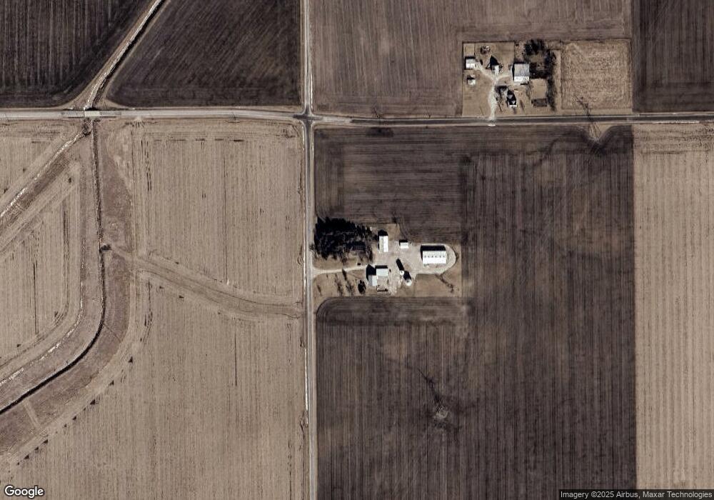
29897 N 2950 East Rd Chenoa, IL 61726
Estimated Value: $194,994 - $253,000
--
Bed
1
Bath
982
Sq Ft
$225/Sq Ft
Est. Value
About This Home
This home is located at 29897 N 2950 East Rd, Chenoa, IL 61726 and is currently estimated at $221,249, approximately $225 per square foot. 29897 N 2950 East Rd is a home located in McLean County with nearby schools including Prairie Central High School.
Ownership History
Date
Name
Owned For
Owner Type
Purchase Details
Closed on
May 8, 2025
Sold by
Vercler Christian and Vercler Cristina S
Bought by
Vercler Family Trust
Current Estimated Value
Purchase Details
Closed on
Nov 19, 2014
Sold by
Vercler Joel M and Vercler Nancy
Bought by
Vercler Christian C and Vercler Cristina
Home Financials for this Owner
Home Financials are based on the most recent Mortgage that was taken out on this home.
Original Mortgage
$100,000
Interest Rate
3.87%
Create a Home Valuation Report for This Property
The Home Valuation Report is an in-depth analysis detailing your home's value as well as a comparison with similar homes in the area
Home Values in the Area
Average Home Value in this Area
Purchase History
| Date | Buyer | Sale Price | Title Company |
|---|---|---|---|
| Vercler Family Trust | -- | None Listed On Document | |
| Vercler Christian C | $130,000 | Mclean County Title |
Source: Public Records
Mortgage History
| Date | Status | Borrower | Loan Amount |
|---|---|---|---|
| Previous Owner | Vercler Christian C | $100,000 |
Source: Public Records
Tax History Compared to Growth
Tax History
| Year | Tax Paid | Tax Assessment Tax Assessment Total Assessment is a certain percentage of the fair market value that is determined by local assessors to be the total taxable value of land and additions on the property. | Land | Improvement |
|---|---|---|---|---|
| 2024 | $2,957 | $56,053 | $7,516 | $48,537 |
| 2022 | $2,957 | $44,545 | $6,467 | $38,078 |
| 2021 | $2,891 | $43,155 | $6,265 | $36,890 |
| 2020 | $2,862 | $42,555 | $6,178 | $36,377 |
| 2019 | $2,927 | $42,555 | $6,178 | $36,377 |
| 2018 | $3,559 | $40,659 | $6,178 | $34,481 |
| 2017 | $3,177 | $40,232 | $6,113 | $34,119 |
| 2016 | $2,955 | $40,232 | $6,113 | $34,119 |
| 2015 | $2,710 | $39,489 | $6,000 | $33,489 |
Source: Public Records
Map
Nearby Homes
- 605 Morningside Dr
- 725 Sheridan St
- 29758 N 2850 East Rd
- 503 N Commercial St
- 301 N 2nd Ave
- 602 N 4th Ave
- 319 N Letcher St
- 11 Block
- 31439 2nd St
- 10788 N 1000 Rd E
- 9898 E 1200 North Rd
- 706 W Wall St
- 112 Gregory Ln
- 14373 N 1700 Rd E
- 77 Acre Plot Off E 2150 Rd N
- 21671 Clarksville Rd
- 208 E 8th St
- Lots 3&4 Allison Rd
- 128 Allison Rd
- 402 W Ash St