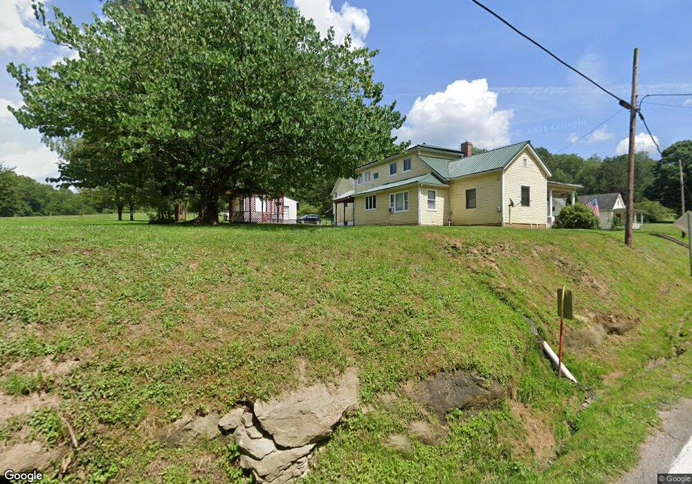
299-91 Rr 1 Mount Clare, WV 26408
Estimated Value: $322,000 - $431,237
3
Beds
3
Baths
1,910
Sq Ft
$188/Sq Ft
Est. Value
About This Home
This home is located at 299-91 Rr 1, Mount Clare, WV 26408 and is currently estimated at $358,559, approximately $187 per square foot. 299-91 Rr 1 is a home located in Harrison County.
Ownership History
Date
Name
Owned For
Owner Type
Purchase Details
Closed on
Apr 27, 2018
Sold by
Lafferty Dana L and Lafferty Jeannine M
Bought by
Sabo John W and Sabo Cheryle L
Current Estimated Value
Home Financials for this Owner
Home Financials are based on the most recent Mortgage that was taken out on this home.
Original Mortgage
$240,500
Outstanding Balance
$206,826
Interest Rate
4.44%
Mortgage Type
Adjustable Rate Mortgage/ARM
Estimated Equity
$151,733
Purchase Details
Closed on
Nov 2, 2010
Sold by
Lafferty Robert and Lafferty Joan
Bought by
Lafferty Dana L and Lafferty Jeanne M
Create a Home Valuation Report for This Property
The Home Valuation Report is an in-depth analysis detailing your home's value as well as a comparison with similar homes in the area
Home Values in the Area
Average Home Value in this Area
Purchase History
| Date | Buyer | Sale Price | Title Company |
|---|---|---|---|
| Sabo John W | $340,500 | -- | |
| Lafferty Dana L | -- | None Available |
Source: Public Records
Mortgage History
| Date | Status | Borrower | Loan Amount |
|---|---|---|---|
| Open | Sabo John W | $240,500 |
Source: Public Records
Tax History Compared to Growth
Tax History
| Year | Tax Paid | Tax Assessment Tax Assessment Total Assessment is a certain percentage of the fair market value that is determined by local assessors to be the total taxable value of land and additions on the property. | Land | Improvement |
|---|---|---|---|---|
| 2024 | $2,343 | $202,620 | $34,440 | $168,180 |
| 2023 | $2,095 | $188,760 | $34,440 | $154,320 |
| 2022 | $1,982 | $188,160 | $34,440 | $153,720 |
| 2021 | $1,934 | $186,060 | $34,440 | $151,620 |
| 2020 | $1,891 | $183,960 | $34,440 | $149,520 |
| 2019 | $1,884 | $183,300 | $34,440 | $148,860 |
| 2018 | $3,715 | $161,760 | $21,720 | $140,040 |
| 2017 | $3,638 | $159,120 | $21,720 | $137,400 |
| 2016 | $3,514 | $155,640 | $20,880 | $134,760 |
| 2015 | $3,411 | $150,180 | $18,780 | $131,400 |
| 2014 | $3,272 | $144,240 | $14,820 | $129,420 |
Source: Public Records
Map
Nearby Homes
- 2189 Chub Run Rd
- 7 Mayflower Ln
- 82 Robinwood Dr
- 186 Robin Ln
- 7644 Buckhannon Pike
- 256 Florence Hollow Rd
- 0 Solomon Dr
- 15 Overlook Dr
- 9 Overlook Dr
- 3 Overlook Dr
- 2410 Buckhannon Pike
- 8037 Maple Ave
- 163 Hutchinson Hollow Rd
- 8688 Cost Ave
- TBD Elk Creek Pike
- 1 Overlook Dr
- 49 Skyview Dr
- 47 Skyview Dr
- 46 Skyview Dr
- 45 Skyview Dr