299 Allerton Commons Ln Braintree, MA 02184
South Braintree NeighborhoodEstimated Value: $477,000 - $542,000
2
Beds
2
Baths
1,197
Sq Ft
$428/Sq Ft
Est. Value
About This Home
This home is located at 299 Allerton Commons Ln, Braintree, MA 02184 and is currently estimated at $512,471, approximately $428 per square foot. 299 Allerton Commons Ln is a home located in Norfolk County with nearby schools including Braintree High School, First Baptist Christian School, and CATS Academy Boston.
Ownership History
Date
Name
Owned For
Owner Type
Purchase Details
Closed on
Nov 2, 2022
Sold by
Cawley Geraldine T
Bought by
Devon Wood Mcgee Ft
Current Estimated Value
Purchase Details
Closed on
Apr 13, 1995
Sold by
Devon Wood Lp
Bought by
Cawley Geraldine T
Home Financials for this Owner
Home Financials are based on the most recent Mortgage that was taken out on this home.
Original Mortgage
$120,550
Interest Rate
8.49%
Mortgage Type
Purchase Money Mortgage
Purchase Details
Closed on
Apr 7, 1995
Sold by
Devon Wood Lp
Bought by
Shucher Phyllis D and Shucher Maurice M
Home Financials for this Owner
Home Financials are based on the most recent Mortgage that was taken out on this home.
Original Mortgage
$120,550
Interest Rate
8.49%
Mortgage Type
Purchase Money Mortgage
Create a Home Valuation Report for This Property
The Home Valuation Report is an in-depth analysis detailing your home's value as well as a comparison with similar homes in the area
Home Values in the Area
Average Home Value in this Area
Purchase History
| Date | Buyer | Sale Price | Title Company |
|---|---|---|---|
| Devon Wood Mcgee Ft | -- | None Available | |
| Cawley Geraldine T | $126,900 | -- | |
| Shucher Phyllis D | $117,813 | -- |
Source: Public Records
Mortgage History
| Date | Status | Borrower | Loan Amount |
|---|---|---|---|
| Previous Owner | Shucher Phyllis D | $121,500 | |
| Previous Owner | Shucher Phyllis D | $120,550 |
Source: Public Records
Tax History Compared to Growth
Tax History
| Year | Tax Paid | Tax Assessment Tax Assessment Total Assessment is a certain percentage of the fair market value that is determined by local assessors to be the total taxable value of land and additions on the property. | Land | Improvement |
|---|---|---|---|---|
| 2025 | $4,663 | $467,200 | $0 | $467,200 |
| 2024 | $4,160 | $438,800 | $0 | $438,800 |
| 2023 | $3,697 | $378,800 | $0 | $378,800 |
| 2022 | $3,504 | $352,200 | $0 | $352,200 |
| 2021 | $3,504 | $352,200 | $0 | $352,200 |
| 2020 | $3,330 | $337,700 | $0 | $337,700 |
| 2019 | $3,257 | $322,800 | $0 | $322,800 |
| 2018 | $3,131 | $297,100 | $0 | $297,100 |
| 2017 | $3,077 | $286,500 | $0 | $286,500 |
| 2016 | $2,914 | $265,400 | $0 | $265,400 |
| 2015 | $2,833 | $255,900 | $0 | $255,900 |
| 2014 | $2,757 | $241,400 | $0 | $241,400 |
Source: Public Records
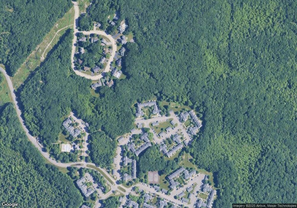
Map
Nearby Homes
- 30 Bradford Commons Ln
- 134 Tyson Commons Ln
- 68 Massapoag St Unit 7
- 308 Forest St
- 16 Jay Rd
- 24 Fisher Rd
- 441 Grove St
- 432 Grove St
- 92 Mercury St
- 972 Liberty St
- 211 Randolph St
- 1501 Liberty St
- 193 Randolph St
- 262 West St
- 255 West St
- 117 Amherst Rd
- 256 Evergreen Ave
- 115 Richard Rd
- 501 Commerce Dr Unit 2310
- 501 Commerce Dr Unit 1111
- 290 Allerton Commons Ln Unit 290
- 298 Allerton Commons Ln
- 297 Allerton Commons Ln
- 300 Allerton Commons Ln
- 296 Allerton Commons Ln
- 295 Allerton Commons Ln
- 294 Allerton Commons Ln
- 293 Allerton Commons Ln
- 292 Allerton Commons Ln
- 290 Allerton Commons Ln
- 289 Allerton Commons Ln
- 288 Allerton Commons Ln
- 287 Allerton Commons Ln
- 286 Allerton Commons Ln
- 285 Allerton Commons Ln
- 283 Allerton Commons Ln
- 284 Allerton Commons Ln
- 282 Allerton Commons Ln
- 281 Allerton Commons Ln
- 277 Allerton Commons Ln