299 Beechwood Ave Langhorne, PA 19047
Estimated Value: $301,000 - $350,000
2
Beds
1
Bath
966
Sq Ft
$345/Sq Ft
Est. Value
About This Home
This home is located at 299 Beechwood Ave, Langhorne, PA 19047 and is currently estimated at $333,269, approximately $344 per square foot. 299 Beechwood Ave is a home located in Bucks County with nearby schools including Tawanka Elementary School, Maple Point Middle School, and Neshaminy High School.
Ownership History
Date
Name
Owned For
Owner Type
Purchase Details
Closed on
Dec 13, 2018
Sold by
Brooks Rita Josephine and The Montie John Lane Jr Family
Bought by
Brooks Rita Josephine
Current Estimated Value
Purchase Details
Closed on
Apr 18, 1996
Sold by
Lane Montie J and Lane Montie John
Bought by
Montie John Lane Jr Family Trust
Purchase Details
Closed on
Aug 28, 1952
Bought by
Lane Montie J and Lane Marion
Create a Home Valuation Report for This Property
The Home Valuation Report is an in-depth analysis detailing your home's value as well as a comparison with similar homes in the area
Home Values in the Area
Average Home Value in this Area
Purchase History
| Date | Buyer | Sale Price | Title Company |
|---|---|---|---|
| Brooks Rita Josephine | -- | None Available | |
| Montie John Lane Jr Family Trust | -- | -- | |
| Lane Montie J | -- | -- |
Source: Public Records
Tax History Compared to Growth
Tax History
| Year | Tax Paid | Tax Assessment Tax Assessment Total Assessment is a certain percentage of the fair market value that is determined by local assessors to be the total taxable value of land and additions on the property. | Land | Improvement |
|---|---|---|---|---|
| 2025 | $2,874 | $13,200 | $2,280 | $10,920 |
| 2024 | $2,874 | $13,200 | $2,280 | $10,920 |
| 2023 | $2,828 | $13,200 | $2,280 | $10,920 |
| 2022 | $2,754 | $13,200 | $2,280 | $10,920 |
| 2021 | $2,754 | $13,200 | $2,280 | $10,920 |
| 2020 | $2,721 | $13,200 | $2,280 | $10,920 |
| 2019 | $2,660 | $13,200 | $2,280 | $10,920 |
| 2018 | $2,611 | $13,200 | $2,280 | $10,920 |
| 2017 | $2,545 | $13,200 | $2,280 | $10,920 |
| 2016 | $2,545 | $13,200 | $2,280 | $10,920 |
| 2015 | $2,941 | $13,200 | $2,280 | $10,920 |
| 2014 | $2,941 | $13,200 | $2,280 | $10,920 |
Source: Public Records
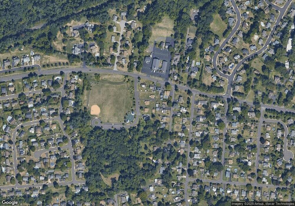
Map
Nearby Homes
- 166 N Hawthorne Ave
- 1021 W Maple Ave
- 1210 Brownsville Rd
- 257 Wisteria Ave
- 225 Playwicki St
- 230 Playwicki St
- 13 Golf Club Dr
- 147 Watergate Dr
- 308 W Richardson Ave
- 523 Turtle Ln
- 739 Bridgeview Rd
- 2623 Sunnyside Ave
- 935 Edgewood Ln
- 1605 Old Lincoln Hwy
- 710 Fox Ct
- 565 Hulmeville Rd
- 29 Langhorne Ave
- 812 Green Ridge Cir
- 716 Ross Dr
- 518 Pebble Ridge Ct
- 287 Beechwood Ave
- 285 Beechwood Ave
- 276 Beechwood Ave
- 298 Ash Ave
- 1256 W Maple Ave
- 1246 W Maple Ave
- 286 Ash Ave
- 1266 W Maple Ave
- 276 Ash Ave
- 1236 W Maple Ave
- 266 Ash Ave
- 260 Ash Ave
- 303 Ash Ave
- 1208 W Maple Ave
- 280 N Hawthorne Ave
- 1229 W Maple Ave
- 1305 W Maple Ave
- 270 N Hawthorne Ave
- 411 Lawrence Cir
- 236 Ash Ave