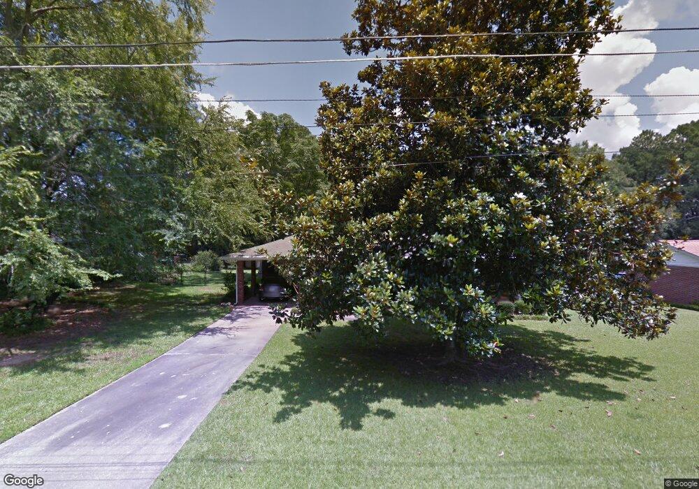
299 Birch St Social Circle, GA 30025
Estimated Value: $186,000 - $244,000
--
Bed
--
Bath
1,120
Sq Ft
$191/Sq Ft
Est. Value
About This Home
This home is located at 299 Birch St, Social Circle, GA 30025 and is currently estimated at $214,052, approximately $191 per square foot. 299 Birch St is a home with nearby schools including Social Circle Primary School, Social Circle Elementary School, and Social Circle Middle School.
Ownership History
Date
Name
Owned For
Owner Type
Purchase Details
Closed on
Jan 3, 2023
Sold by
Presley Michael Allan
Bought by
Chapman Joseph B
Current Estimated Value
Home Financials for this Owner
Home Financials are based on the most recent Mortgage that was taken out on this home.
Original Mortgage
$168,500
Outstanding Balance
$163,028
Interest Rate
6.33%
Mortgage Type
New Conventional
Estimated Equity
$51,024
Purchase Details
Closed on
May 7, 2021
Sold by
Peppers Victoria Lott
Bought by
Presley Michael Allan
Create a Home Valuation Report for This Property
The Home Valuation Report is an in-depth analysis detailing your home's value as well as a comparison with similar homes in the area
Home Values in the Area
Average Home Value in this Area
Purchase History
| Date | Buyer | Sale Price | Title Company |
|---|---|---|---|
| Chapman Joseph B | $173,500 | -- | |
| Presley Michael Allan | $143,000 | -- |
Source: Public Records
Mortgage History
| Date | Status | Borrower | Loan Amount |
|---|---|---|---|
| Open | Chapman Joseph B | $168,500 |
Source: Public Records
Tax History Compared to Growth
Tax History
| Year | Tax Paid | Tax Assessment Tax Assessment Total Assessment is a certain percentage of the fair market value that is determined by local assessors to be the total taxable value of land and additions on the property. | Land | Improvement |
|---|---|---|---|---|
| 2024 | $2,689 | $75,600 | $16,000 | $59,600 |
| 2023 | $992 | $71,240 | $14,400 | $56,840 |
| 2022 | $387 | $59,280 | $12,800 | $46,480 |
| 2021 | $154 | $38,840 | $8,800 | $30,040 |
| 2020 | $158 | $36,200 | $6,800 | $29,400 |
| 2019 | $161 | $30,160 | $6,800 | $23,360 |
| 2018 | $161 | $30,160 | $6,800 | $23,360 |
| 2017 | $1,105 | $26,440 | $5,200 | $21,240 |
| 2016 | $167 | $23,080 | $5,200 | $17,880 |
| 2015 | $165 | $20,400 | $5,200 | $15,200 |
| 2014 | $164 | $17,960 | $0 | $0 |
Source: Public Records
Map
Nearby Homes
- 582 S Cherokee Rd
- 241 E Ash St
- 1249 Social Circle Pkwy
- 177 ORWELL Drive
- Adrian Plan at Conner Springs
- Sinclair Plan at Conner Springs
- Shiloh Plan at Conner Springs
- Mira Plan at Conner Springs
- Hemingway Plan at Conner Springs
- Harding Plan at Conner Springs
- Tucker Front Porch Plan at Conner Springs
- 178 Elder Dr SE
- 178 Elder Dr SE Unit 103
- 432 Chestnut St
- 603 Lakewood Dr SW
- 177 Orwell Dr
- 178 Orwell Dr
- 207 E Hightower Trail
- 204 Orwell Dr
- 135 N Dogwood Ave
- 317 Birch St
- 688 S Cherokee Rd
- 662 S Cherokee Rd
- 600 Spring St SE
- 658 S Cherokee Rd
- 714 S Cherokee Rd
- 701 S Cherokee Rd
- 715 S Cherokee Rd
- 635 S Cherokee Rd
- 685 S Cherokee Rd
- 673 S Cherokee Rd
- 729 S Cherokee Rd
- 649 S Cherokee Rd
- 734 S Cherokee Rd
- 0 S Cherokee Rd Unit 7428664
- S S Cherokee Rd Unit 3
- S S Cherokee Rd
- 638 S Cherokee Rd
- 596 S Cherokee Rd
- 0 Bear Cub Path Unit 8713829