299 Crouch Rd West Warren, MA 01092
Estimated Value: $305,536 - $375,000
3
Beds
2
Baths
1,650
Sq Ft
$207/Sq Ft
Est. Value
About This Home
This home is located at 299 Crouch Rd, West Warren, MA 01092 and is currently estimated at $342,134, approximately $207 per square foot. 299 Crouch Rd is a home located in Worcester County with nearby schools including Quaboag Regional High School.
Ownership History
Date
Name
Owned For
Owner Type
Purchase Details
Closed on
Jun 30, 2022
Sold by
Simpson Gary D and Simpson Ashley
Bought by
Simpson Aaron S and Simpson Christopher
Current Estimated Value
Home Financials for this Owner
Home Financials are based on the most recent Mortgage that was taken out on this home.
Original Mortgage
$200,000
Outstanding Balance
$189,448
Interest Rate
5.25%
Mortgage Type
Purchase Money Mortgage
Estimated Equity
$152,686
Purchase Details
Closed on
Nov 1, 2005
Sold by
Wilke Anthony Paul
Bought by
Simpson Ashley and Simpson Gary D
Home Financials for this Owner
Home Financials are based on the most recent Mortgage that was taken out on this home.
Original Mortgage
$176,000
Interest Rate
5.79%
Mortgage Type
Purchase Money Mortgage
Purchase Details
Closed on
May 12, 1999
Sold by
Belden Dale R and Wegiel Cindy S
Bought by
Wilke Antohny P and Wilke Lisa M
Home Financials for this Owner
Home Financials are based on the most recent Mortgage that was taken out on this home.
Original Mortgage
$117,900
Interest Rate
6.92%
Mortgage Type
Purchase Money Mortgage
Create a Home Valuation Report for This Property
The Home Valuation Report is an in-depth analysis detailing your home's value as well as a comparison with similar homes in the area
Home Values in the Area
Average Home Value in this Area
Purchase History
| Date | Buyer | Sale Price | Title Company |
|---|---|---|---|
| Simpson Aaron S | $240,000 | Misc Company | |
| Simpson Ashley | $220,000 | -- | |
| Simpson Ashley | $220,000 | -- | |
| Wilke Antohny P | $119,500 | -- |
Source: Public Records
Mortgage History
| Date | Status | Borrower | Loan Amount |
|---|---|---|---|
| Open | Simpson Aaron S | $200,000 | |
| Previous Owner | Simpson Ashley | $176,000 | |
| Previous Owner | Wilke Antohny P | $117,900 | |
| Previous Owner | Wilke Antohny P | $62,000 | |
| Previous Owner | Wilke Antohny P | $48,000 |
Source: Public Records
Tax History
| Year | Tax Paid | Tax Assessment Tax Assessment Total Assessment is a certain percentage of the fair market value that is determined by local assessors to be the total taxable value of land and additions on the property. | Land | Improvement |
|---|---|---|---|---|
| 2025 | $4,182 | $282,400 | $57,200 | $225,200 |
| 2024 | $4,256 | $282,400 | $57,200 | $225,200 |
| 2023 | $4,178 | $264,400 | $57,200 | $207,200 |
| 2022 | $3,467 | $222,800 | $49,300 | $173,500 |
| 2021 | $3,398 | $212,900 | $46,500 | $166,400 |
| 2020 | $3,449 | $201,000 | $46,500 | $154,500 |
| 2019 | $3,472 | $191,300 | $46,500 | $144,800 |
| 2018 | $3,313 | $191,300 | $46,500 | $144,800 |
| 2017 | $3,480 | $187,500 | $48,300 | $139,200 |
| 2016 | $3,563 | $179,600 | $46,000 | $133,600 |
| 2015 | $3,221 | $171,800 | $46,000 | $125,800 |
| 2014 | $3,344 | $175,100 | $46,000 | $129,100 |
Source: Public Records
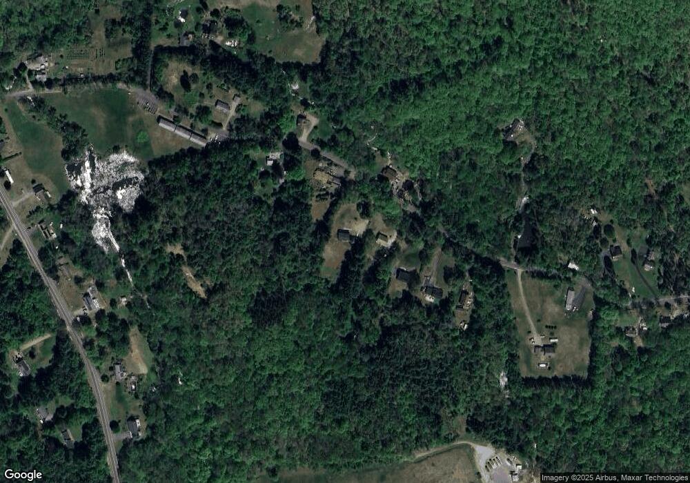
Map
Nearby Homes
- 235 Crouch Rd
- Lot 3C Crouch Rd
- 352 Reed St
- Lot 4 Reed St
- Lot 7 Reed St
- 2240 Main St
- 77 O'Neil Rd
- Lot 5 Brimfield Rd
- Lot 3 Brimfield Rd
- 95 Town Farm Rd
- 0 Town Farm Rd
- 59 High St
- 0 Brimfield Rd Unit 73426061
- 83 Comins Pond Rd
- Lot 4 Brimfield Rd
- 36 Nelson St
- 17 Otis St
- 40 Hillside Ave
- 8 Otis St
- Lot 8 Southbridge Rd
Your Personal Tour Guide
Ask me questions while you tour the home.