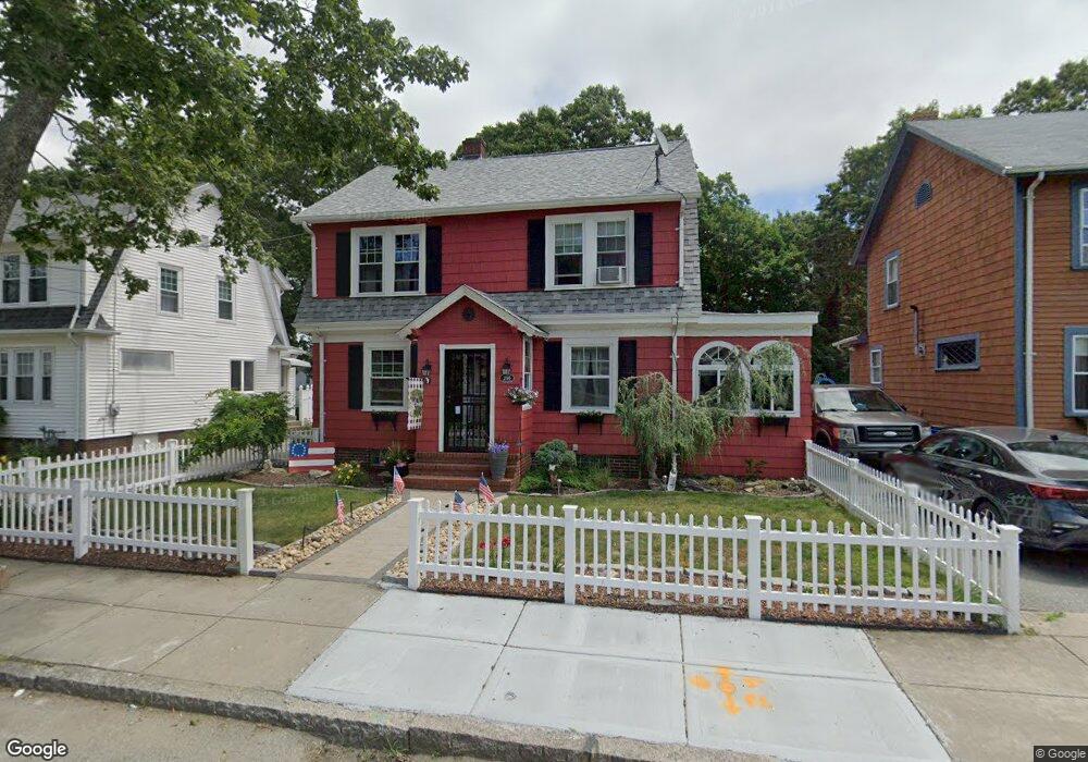
299 Doherty St Fall River, MA 02720
Bank Street NeighborhoodEstimated Value: $416,279 - $449,000
3
Beds
2
Baths
1,545
Sq Ft
$281/Sq Ft
Est. Value
About This Home
This home is located at 299 Doherty St, Fall River, MA 02720 and is currently estimated at $434,570, approximately $281 per square foot. 299 Doherty St is a home located in Bristol County with nearby schools including Spencer Borden Elementary School, Morton Middle School, and B M C Durfee High School.
Ownership History
Date
Name
Owned For
Owner Type
Purchase Details
Closed on
Oct 23, 2006
Sold by
Walsh Thomas P
Bought by
Labossiere Robin and Labossiere Thomas C
Current Estimated Value
Home Financials for this Owner
Home Financials are based on the most recent Mortgage that was taken out on this home.
Original Mortgage
$196,000
Outstanding Balance
$115,329
Interest Rate
6.49%
Mortgage Type
Purchase Money Mortgage
Estimated Equity
$319,241
Create a Home Valuation Report for This Property
The Home Valuation Report is an in-depth analysis detailing your home's value as well as a comparison with similar homes in the area
Home Values in the Area
Average Home Value in this Area
Purchase History
| Date | Buyer | Sale Price | Title Company |
|---|---|---|---|
| Labossiere Robin | $245,000 | -- |
Source: Public Records
Mortgage History
| Date | Status | Borrower | Loan Amount |
|---|---|---|---|
| Open | Labossiere Robin | $196,000 |
Source: Public Records
Tax History
| Year | Tax Paid | Tax Assessment Tax Assessment Total Assessment is a certain percentage of the fair market value that is determined by local assessors to be the total taxable value of land and additions on the property. | Land | Improvement |
|---|---|---|---|---|
| 2025 | $3,963 | $346,100 | $116,000 | $230,100 |
| 2024 | $3,747 | $326,100 | $113,800 | $212,300 |
| 2023 | $3,752 | $305,800 | $102,500 | $203,300 |
| 2022 | $3,385 | $268,200 | $96,700 | $171,500 |
| 2021 | $3,343 | $241,700 | $92,400 | $149,300 |
| 2020 | $3,293 | $227,900 | $88,200 | $139,700 |
| 2019 | $3,305 | $226,700 | $92,100 | $134,600 |
| 2018 | $3,225 | $220,600 | $90,700 | $129,900 |
| 2017 | $3,060 | $218,600 | $90,700 | $127,900 |
| 2016 | $2,950 | $216,400 | $95,400 | $121,000 |
| 2015 | $2,736 | $209,200 | $95,400 | $113,800 |
| 2014 | $2,632 | $209,200 | $95,400 | $113,800 |
Source: Public Records
Map
Nearby Homes
Your Personal Tour Guide
Ask me questions while you tour the home.