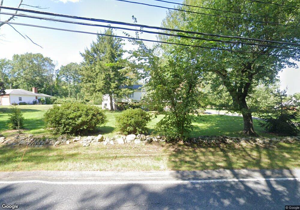
299 Eliot St Natick, MA 01760
Estimated Value: $945,873 - $1,303,000
3
Beds
3
Baths
2,170
Sq Ft
$504/Sq Ft
Est. Value
About This Home
This home is located at 299 Eliot St, Natick, MA 01760 and is currently estimated at $1,092,718, approximately $503 per square foot. 299 Eliot St is a home located in Middlesex County with nearby schools including Natick High School, Memorial Elementary School, and J F Kennedy Middle School.
Ownership History
Date
Name
Owned For
Owner Type
Purchase Details
Closed on
Aug 27, 2014
Sold by
Diab Anwar N and Diab Khawla
Bought by
Stuart Mary E
Current Estimated Value
Home Financials for this Owner
Home Financials are based on the most recent Mortgage that was taken out on this home.
Original Mortgage
$427,200
Outstanding Balance
$327,050
Interest Rate
4.14%
Mortgage Type
New Conventional
Estimated Equity
$765,668
Create a Home Valuation Report for This Property
The Home Valuation Report is an in-depth analysis detailing your home's value as well as a comparison with similar homes in the area
Home Values in the Area
Average Home Value in this Area
Purchase History
| Date | Buyer | Sale Price | Title Company |
|---|---|---|---|
| Stuart Mary E | $534,000 | -- |
Source: Public Records
Mortgage History
| Date | Status | Borrower | Loan Amount |
|---|---|---|---|
| Open | Stuart Mary E | $427,200 |
Source: Public Records
Tax History
| Year | Tax Paid | Tax Assessment Tax Assessment Total Assessment is a certain percentage of the fair market value that is determined by local assessors to be the total taxable value of land and additions on the property. | Land | Improvement |
|---|---|---|---|---|
| 2025 | $9,375 | $783,900 | $491,900 | $292,000 |
| 2024 | $9,101 | $742,300 | $465,900 | $276,400 |
| 2023 | $8,791 | $695,500 | $429,100 | $266,400 |
| 2022 | $8,430 | $631,900 | $383,100 | $248,800 |
| 2021 | $8,090 | $594,400 | $363,000 | $231,400 |
| 2020 | $7,883 | $579,200 | $347,800 | $231,400 |
| 2019 | $7,362 | $579,200 | $347,800 | $231,400 |
| 2018 | $6,812 | $522,000 | $332,700 | $189,300 |
| 2017 | $6,988 | $518,000 | $332,000 | $186,000 |
| 2016 | $7,005 | $516,200 | $332,000 | $184,200 |
| 2015 | $6,747 | $488,200 | $332,000 | $156,200 |
Source: Public Records
Map
Nearby Homes
- 6 Hopewell Farm Rd
- 211 Eliot St
- 16 Wayside Rd Unit 14
- 11 Morgan Dr Unit 404
- 36 Yorkshire Rd
- 7 Allison Way Unit 7
- 189 Eliot St
- 137 Lake St
- 81 Woodland St
- 2 Phillips Pond Rd
- 18 Phillips Pond Rd
- 216-218 S Main St
- 65 Farm Road Lot 6
- 14 Pinewood Ave
- 104 Eliot St
- 8 Greystone Rd
- 61 Glen St
- 44 Glen St
- 104 Glen St
- 62 Oakland St
Your Personal Tour Guide
Ask me questions while you tour the home.