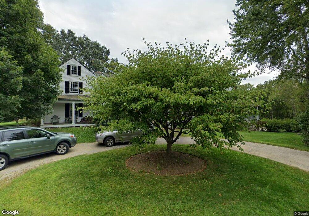
299 Estabrook Rd Concord, MA 01742
Estimated Value: $4,386,000 - $5,629,283
5
Beds
6
Baths
5,518
Sq Ft
$908/Sq Ft
Est. Value
About This Home
This home is located at 299 Estabrook Rd, Concord, MA 01742 and is currently estimated at $5,007,642, approximately $907 per square foot. 299 Estabrook Rd is a home located in Middlesex County with nearby schools including Alcott Elementary School, Concord Middle School, and Concord Carlisle High School.
Ownership History
Date
Name
Owned For
Owner Type
Purchase Details
Closed on
Aug 30, 2002
Sold by
Rodday Penelope P
Bought by
299 Estabrook Rd Rt and Embry Bruce J
Current Estimated Value
Home Financials for this Owner
Home Financials are based on the most recent Mortgage that was taken out on this home.
Original Mortgage
$1,100,000
Outstanding Balance
$469,888
Interest Rate
6.55%
Mortgage Type
Purchase Money Mortgage
Estimated Equity
$4,537,754
Create a Home Valuation Report for This Property
The Home Valuation Report is an in-depth analysis detailing your home's value as well as a comparison with similar homes in the area
Home Values in the Area
Average Home Value in this Area
Purchase History
| Date | Buyer | Sale Price | Title Company |
|---|---|---|---|
| 299 Estabrook Rd Rt | $3,950,000 | -- |
Source: Public Records
Mortgage History
| Date | Status | Borrower | Loan Amount |
|---|---|---|---|
| Open | 299 Estabrook Rd Rt | $1,100,000 |
Source: Public Records
Tax History
| Year | Tax Paid | Tax Assessment Tax Assessment Total Assessment is a certain percentage of the fair market value that is determined by local assessors to be the total taxable value of land and additions on the property. | Land | Improvement |
|---|---|---|---|---|
| 2025 | $0 | $5,303,175 | $1,676,975 | $3,626,200 |
| 2024 | $54,454 | $5,302,706 | $1,676,506 | $3,626,200 |
| 2023 | $54,454 | $4,201,674 | $1,281,574 | $2,920,100 |
| 2022 | $49,388 | $3,346,049 | $1,081,849 | $2,264,200 |
| 2021 | $55,440 | $3,766,335 | $1,350,735 | $2,415,600 |
| 2020 | $55,408 | $3,893,735 | $1,427,635 | $2,466,100 |
| 2019 | $56,238 | $3,963,245 | $1,434,145 | $2,529,100 |
| 2018 | $52,856 | $3,698,825 | $1,384,125 | $2,314,700 |
| 2017 | $50,804 | $3,610,785 | $1,346,585 | $2,264,200 |
| 2016 | $52,621 | $3,780,255 | $1,490,755 | $2,289,500 |
| 2015 | $52,617 | $3,682,055 | $1,453,055 | $2,229,000 |
Source: Public Records
Map
Nearby Homes
- 735 Lowell Rd
- 735 Lowell Rd Lot 1 Land
- 308 Musterfield Rd
- 495 Hugh Cargill Rd
- 29 Willard Common
- 244 Musterfield Rd
- 49 Willard Common
- 106 Elm St
- 315 Musketaquid Rd
- 101 Adams Rd
- 59 Elm St
- 46 Sudbury Rd
- 32 Thoreau St Unit 32
- 34 Thoreau St
- 34 Thoreau St Unit 34
- 22 Belknap Ct
- 265 Elsinore St
- 1 Baker Ave
- 316 Lindsay Pond Rd
- 50 Wayside Rd
- 280 Estabrook Rd
- 260 Estabrook Rd
- 366 Estabrook Rd
- 206 Estabrook Rd
- 180 Estabrook Rd
- 101 Barnes Hill Rd
- 393 Estabrook Rd
- 670 Lowell Rd
- 664 Lowell Rd
- 116 Estabrook Rd
- 720 Lowell Rd
- 156 Estabrook Rd
- 676 Lowell Rd
- 39 Barnes Hill Rd
- 58 Farmers Cliff Rd
- 736 Lowell Rd
- 32 Farmers Cliff Rd
- 75 Barnes Hill Rd
- 702 Lowell Rd
- 762 Lowell Rd
Your Personal Tour Guide
Ask me questions while you tour the home.