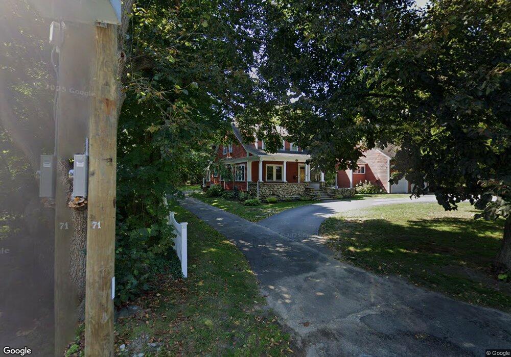
299 First Parish Rd Scituate, MA 02066
Estimated Value: $1,256,932 - $1,373,000
4
Beds
3
Baths
2,988
Sq Ft
$437/Sq Ft
Est. Value
About This Home
This home is located at 299 First Parish Rd, Scituate, MA 02066 and is currently estimated at $1,306,733, approximately $437 per square foot. 299 First Parish Rd is a home located in Plymouth County with nearby schools including Cushing Elementary School, Lester J. Gates Middle School, and Scituate High School.
Ownership History
Date
Name
Owned For
Owner Type
Purchase Details
Closed on
Sep 30, 2022
Sold by
Ardolino Howard C and Ardolino Jane C
Bought by
Ardolino Rret
Current Estimated Value
Purchase Details
Closed on
Jan 1, 1975
Bought by
Ardolino Howard C and Ardolino Jane
Create a Home Valuation Report for This Property
The Home Valuation Report is an in-depth analysis detailing your home's value as well as a comparison with similar homes in the area
Home Values in the Area
Average Home Value in this Area
Purchase History
| Date | Buyer | Sale Price | Title Company |
|---|---|---|---|
| Ardolino Rret | -- | None Available | |
| Ardolino Howard C | -- | -- |
Source: Public Records
Mortgage History
| Date | Status | Borrower | Loan Amount |
|---|---|---|---|
| Previous Owner | Ardolino Howard C | $70,000 | |
| Previous Owner | Ardolino Howard C | $45,000 | |
| Previous Owner | Ardolino Howard C | $115,000 |
Source: Public Records
Tax History
| Year | Tax Paid | Tax Assessment Tax Assessment Total Assessment is a certain percentage of the fair market value that is determined by local assessors to be the total taxable value of land and additions on the property. | Land | Improvement |
|---|---|---|---|---|
| 2025 | $10,114 | $1,012,400 | $405,900 | $606,500 |
| 2024 | $9,985 | $963,800 | $369,000 | $594,800 |
| 2023 | $9,837 | $883,800 | $354,400 | $529,400 |
| 2022 | $9,735 | $771,400 | $327,300 | $444,100 |
| 2021 | $9,268 | $695,300 | $311,700 | $383,600 |
| 2020 | $8,982 | $665,300 | $299,700 | $365,600 |
| 2019 | $8,780 | $639,000 | $293,800 | $345,200 |
| 2018 | $8,456 | $606,200 | $279,100 | $327,100 |
| 2017 | $8,371 | $594,100 | $267,000 | $327,100 |
| 2016 | $8,057 | $569,800 | $242,700 | $327,100 |
| 2015 | $7,464 | $569,800 | $242,700 | $327,100 |
Source: Public Records
Map
Nearby Homes
- 20 Grace Way Unit 20
- 1 Grace Way Unit 1
- 6 Grace Way Unit 6
- 27 Grace Way
- 74 Branch St Unit 15
- 111 Elm St
- 115 Elm St
- 38 Lauren Ln
- 54 Woodland Rd
- 46 Tilden Rd
- 33 Rosas Ln
- 48 Captain Peirce Rd
- 76 A Brook St
- 76 A Brook St Unit 1
- 537 First Parish Rd
- 12 Richfield Rd
- 86 Hatherly Rd
- 50 First Parish Rd
- 25 Morton Place
- 94 Old Oaken Bucket Rd
- 293 First Parish Rd
- 10 Bell Tower Ln
- 16 Bell Tower Ln
- 300 Beaver Dam Rd
- 9 Bell Tower Ln
- 284 Beaver Dam Rd
- 31 Branch St
- 22 Bell Tower Ln
- 283 First Parish Rd
- 15 Bell Tower Ln
- 39 Branch St
- 9 Branch St
- 16 Branch St
- 33 Branch St
- 273 Beaver Dam Rd
- 25 Bell Tower Ln
- 8 Branch St
- 24 Branch St
- 24 Branch St
- 21 Bell Tower Ln