299 Floyd Gipson Rd Auburn, KY 42206
Estimated Value: $282,000 - $612,857
3
Beds
2
Baths
1,932
Sq Ft
$226/Sq Ft
Est. Value
About This Home
This home is located at 299 Floyd Gipson Rd, Auburn, KY 42206 and is currently estimated at $437,214, approximately $226 per square foot. 299 Floyd Gipson Rd is a home located in Logan County with nearby schools including Logan County High School.
Ownership History
Date
Name
Owned For
Owner Type
Purchase Details
Closed on
Jan 14, 2020
Sold by
Hughes Patsy
Bought by
Weaver Travis and Weaver Rhoda
Current Estimated Value
Home Financials for this Owner
Home Financials are based on the most recent Mortgage that was taken out on this home.
Original Mortgage
$385,000
Outstanding Balance
$339,373
Interest Rate
3.7%
Mortgage Type
Future Advance Clause Open End Mortgage
Estimated Equity
$97,841
Create a Home Valuation Report for This Property
The Home Valuation Report is an in-depth analysis detailing your home's value as well as a comparison with similar homes in the area
Home Values in the Area
Average Home Value in this Area
Purchase History
| Date | Buyer | Sale Price | Title Company |
|---|---|---|---|
| Weaver Travis | $385,000 | Clark Title Company Llc |
Source: Public Records
Mortgage History
| Date | Status | Borrower | Loan Amount |
|---|---|---|---|
| Open | Weaver Travis | $385,000 |
Source: Public Records
Tax History Compared to Growth
Tax History
| Year | Tax Paid | Tax Assessment Tax Assessment Total Assessment is a certain percentage of the fair market value that is determined by local assessors to be the total taxable value of land and additions on the property. | Land | Improvement |
|---|---|---|---|---|
| 2025 | $1,526 | $176,005 | $40,005 | $136,000 |
| 2024 | $1,539 | $176,005 | $40,005 | $136,000 |
| 2023 | $1,581 | $176,005 | $40,005 | $136,000 |
| 2022 | $1,563 | $176,005 | $40,005 | $136,000 |
| 2021 | $1,569 | $176,005 | $40,005 | $136,000 |
| 2020 | $1,156 | $492,005 | $356,005 | $136,000 |
| 2019 | $1,153 | $492,005 | $356,005 | $136,000 |
| 2018 | $1,156 | $167,005 | $31,005 | $136,000 |
| 2017 | $1,140 | $158,005 | $31,005 | $127,000 |
| 2016 | $1,133 | $167,005 | $0 | $0 |
| 2015 | $958 | $167,005 | $31,005 | $136,000 |
| 2012 | $958 | $154,700 | $0 | $0 |
Source: Public Records
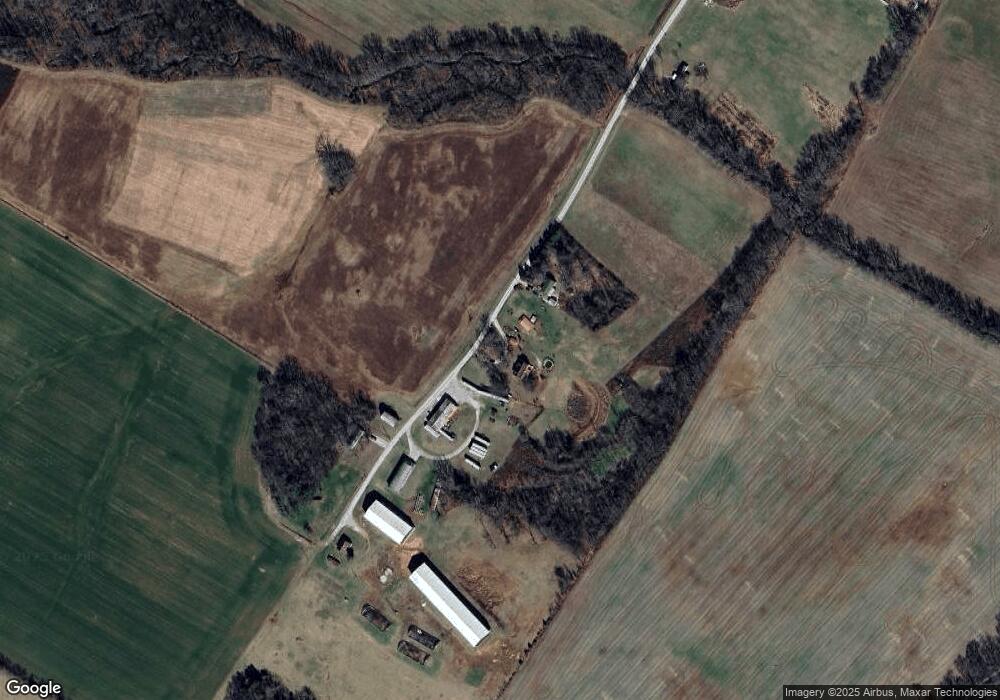
Map
Nearby Homes
- 2588 Cemetery Rd
- 1216 Montgomery Rd
- 3414 Stevenson Mill Rd
- 0 Montgomery Rd
- 269 Peterson Ave
- 259 Peterson Ave
- 104 Virginia Dr
- 101 Virginia Dr
- 101 Rittenberry Dr
- 1532 Chandlers Rd
- 125 Fairfield Dr Unit (Lot 24)
- 614 Maple St
- 1819 Chandlers Rd
- 86 Howlett Dr
- 204 Wilson Ave
- 127 Cornerstone Place
- 425 Briggs Lake Rd
- 2083 Stevenson Mill Rd
- 129 Windhaven Rd
- 242 S Lincoln St
- 247 Floyd Gipson Rd
- 169 Floyd Gipson Rd
- 7322 Bowling Green Rd
- 2135 Duncan Chapel Rd
- 2325 Duncan Chapel Rd
- 1229 Duncan Chapel Rd
- 1183 Duncan Chapel Rd
- 1063 Duncan Chapel Rd
- 1151 Duncan Chapel Rd
- 1188 Dennis Rd
- 1196 Dennis Rd
- 3071 Duncan Chapel Rd
- 292 Dennis Rd
- 923 Duncan Chapel Rd
- 620 Dennis Rd
- 10 W Thomason Rd
- 275 Happy Hollow Ln
- 2408 Duncan Chapel Rd
- 1570 Dennis Rd
- 158 W Thomason Rd