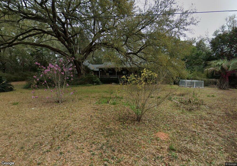
299 James St Crestview, FL 32536
Estimated Value: $381,782 - $437,000
4
Beds
3
Baths
2,481
Sq Ft
$166/Sq Ft
Est. Value
About This Home
This home is located at 299 James St, Crestview, FL 32536 and is currently estimated at $410,946, approximately $165 per square foot. 299 James St is a home located in Okaloosa County with nearby schools including Bob Sikes Elementary School, Davidson Middle School, and Crestview High School.
Ownership History
Date
Name
Owned For
Owner Type
Purchase Details
Closed on
Mar 5, 2010
Sold by
Bechtold Robert W and Bechtold Pamela B
Bought by
Lewendoski William J and Packowski Derelys A
Current Estimated Value
Home Financials for this Owner
Home Financials are based on the most recent Mortgage that was taken out on this home.
Original Mortgage
$181,500
Outstanding Balance
$118,809
Interest Rate
4.97%
Mortgage Type
New Conventional
Estimated Equity
$292,137
Purchase Details
Closed on
Apr 3, 2000
Sold by
Selvage Glendon and Selvage Alva
Bought by
Bechtold Robert W and Bechtold Pamela B
Home Financials for this Owner
Home Financials are based on the most recent Mortgage that was taken out on this home.
Original Mortgage
$129,700
Interest Rate
8%
Mortgage Type
Seller Take Back
Create a Home Valuation Report for This Property
The Home Valuation Report is an in-depth analysis detailing your home's value as well as a comparison with similar homes in the area
Home Values in the Area
Average Home Value in this Area
Purchase History
| Date | Buyer | Sale Price | Title Company |
|---|---|---|---|
| Lewendoski William J | $272,800 | Trump Title & Escrow Inc | |
| Bechtold Robert W | $129,700 | -- |
Source: Public Records
Mortgage History
| Date | Status | Borrower | Loan Amount |
|---|---|---|---|
| Open | Lewendoski William J | $181,500 | |
| Previous Owner | Bechtold Robert W | $129,700 |
Source: Public Records
Tax History
| Year | Tax Paid | Tax Assessment Tax Assessment Total Assessment is a certain percentage of the fair market value that is determined by local assessors to be the total taxable value of land and additions on the property. | Land | Improvement |
|---|---|---|---|---|
| 2025 | $3,188 | $242,851 | -- | -- |
| 2024 | $3,035 | $236,007 | -- | -- |
| 2023 | $3,035 | $229,133 | $0 | $0 |
| 2022 | $2,948 | $222,459 | $0 | $0 |
| 2021 | $2,929 | $215,980 | $0 | $0 |
| 2020 | $2,896 | $212,998 | $0 | $0 |
| 2019 | $2,847 | $208,209 | $0 | $0 |
| 2018 | $2,809 | $204,327 | $0 | $0 |
| 2017 | $2,777 | $200,124 | $0 | $0 |
| 2016 | $2,702 | $196,008 | $0 | $0 |
| 2015 | $2,741 | $194,645 | $0 | $0 |
| 2014 | $2,433 | $184,081 | $0 | $0 |
Source: Public Records
Map
Nearby Homes
Your Personal Tour Guide
Ask me questions while you tour the home.