299 Jewel Rd Lufkin, TX 75904
Estimated Value: $246,000 - $407,000
--
Bed
8
Baths
2,308
Sq Ft
$131/Sq Ft
Est. Value
About This Home
This home is located at 299 Jewel Rd, Lufkin, TX 75904 and is currently estimated at $302,466, approximately $131 per square foot. 299 Jewel Rd is a home located in Angelina County with nearby schools including Central Elementary School, Central Junior High School, and Central High School.
Ownership History
Date
Name
Owned For
Owner Type
Purchase Details
Closed on
May 1, 2018
Sold by
Sprinkle Jon and Sprinkle Paula
Bought by
Sprinkle Scott Lynn and Sprinkle Erin Nicole
Current Estimated Value
Home Financials for this Owner
Home Financials are based on the most recent Mortgage that was taken out on this home.
Original Mortgage
$113,490
Interest Rate
4.45%
Mortgage Type
Purchase Money Mortgage
Create a Home Valuation Report for This Property
The Home Valuation Report is an in-depth analysis detailing your home's value as well as a comparison with similar homes in the area
Home Values in the Area
Average Home Value in this Area
Purchase History
| Date | Buyer | Sale Price | Title Company |
|---|---|---|---|
| Sprinkle Scott Lynn | -- | Security & Guaranty Abstract |
Source: Public Records
Mortgage History
| Date | Status | Borrower | Loan Amount |
|---|---|---|---|
| Closed | Sprinkle Scott Lynn | $113,490 |
Source: Public Records
Tax History Compared to Growth
Tax History
| Year | Tax Paid | Tax Assessment Tax Assessment Total Assessment is a certain percentage of the fair market value that is determined by local assessors to be the total taxable value of land and additions on the property. | Land | Improvement |
|---|---|---|---|---|
| 2025 | $2,322 | $154,260 | $15,060 | $139,200 |
| 2024 | $2,303 | $152,950 | $15,060 | $137,890 |
| 2023 | $2,298 | $150,680 | $15,060 | $135,620 |
| 2022 | $2,379 | $142,020 | $11,500 | $130,520 |
| 2021 | $2,325 | $129,790 | $11,500 | $118,290 |
| 2020 | $2,153 | $116,070 | $12,550 | $103,520 |
| 2019 | $2,290 | $117,560 | $12,550 | $105,010 |
| 2018 | $1,836 | $114,020 | $12,550 | $101,470 |
| 2017 | $1,836 | $110,080 | $12,540 | $97,540 |
| 2016 | $2,091 | $106,070 | $12,540 | $93,530 |
| 2015 | $1,635 | $106,070 | $12,540 | $93,530 |
| 2014 | $1,635 | $108,110 | $12,540 | $95,570 |
Source: Public Records
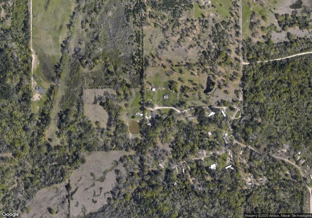
Map
Nearby Homes
- 321 Gordon Way
- 10155 Fm 2021
- Derek RD None
- PID 36982 Hwy 103w
- 2151 Durant Rd
- 151 Lancewood Cir
- 176 Lancewood Cir
- 5740 Hwy 103e
- Lot 1A Welch Hill Top Rd
- Lot 1D Welch Hill Top Rd
- 1159 Blackburn Switch Rd
- PID 36982 Ben Dunn Rd
- 0 Ben Dunn Rd
- PID 29607 Ben Dunn Rd
- PID 29607 Ben Dunn Rd
- 339 Liles Ln
- 1013 Thigpen Rd
- 725 Rodeo Dr
- 137 Jewel Rd
- 223 Conditt Rd
- 134 Conditt Rd
- 134 Conditt Rd
- 651 Ransom Brown Rd
- 801 Ransom Brown Rd
- 00 Ransom Brown Rd
- 490 Ransom Brown Rd
- 360 Ransom Brown Rd
- 1129 Ransom Brown Rd
- 526 Stover Ranch Rd
- 833 Ransom Brown Rd
- 855 Ransom Brown Rd
- 11071 Fm 2021
- 11093 Fm 2021
- 11073 Fm 2021
- 11145 Fm 2021
- 11173 Fm 2021
- 11072 Farm To Market Road 2021
- 11679 Fm 2021