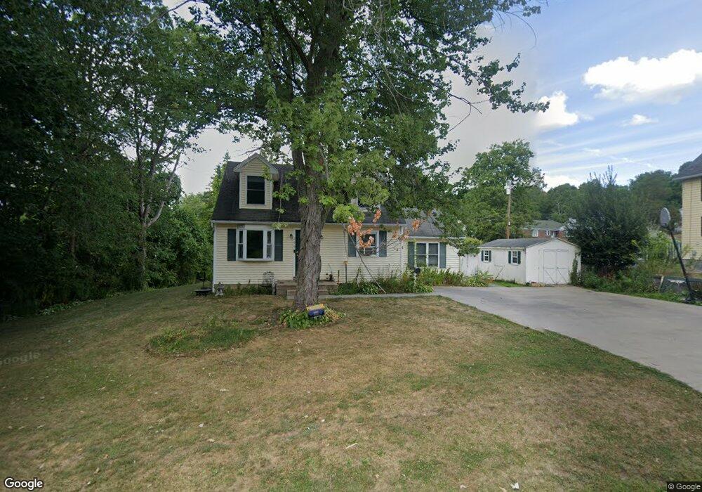
299 Laurel Hill Rd Torrington, CT 06790
Estimated Value: $278,000 - $314,075
2
Beds
2
Baths
1,395
Sq Ft
$212/Sq Ft
Est. Value
About This Home
This home is located at 299 Laurel Hill Rd, Torrington, CT 06790 and is currently estimated at $295,519, approximately $211 per square foot. 299 Laurel Hill Rd is a home located in Litchfield County with nearby schools including Torrington Middle School, Torrington High School, and St. Peter School.
Ownership History
Date
Name
Owned For
Owner Type
Purchase Details
Closed on
Aug 6, 2007
Sold by
Donaghy Scott B and Donaghy Yvonne D
Bought by
Green Kevin D and Green Donnalee
Current Estimated Value
Home Financials for this Owner
Home Financials are based on the most recent Mortgage that was taken out on this home.
Original Mortgage
$169,600
Outstanding Balance
$107,766
Interest Rate
6.73%
Estimated Equity
$187,753
Purchase Details
Closed on
Aug 22, 1994
Sold by
Fed Natl Mtg Assoc
Bought by
Donaghy Scott B and Donaghy Yvonne D
Purchase Details
Closed on
Jan 8, 1990
Sold by
Roberts Alfred
Bought by
Achee Richard
Purchase Details
Closed on
Jun 10, 1987
Sold by
Putnam Stephen R
Bought by
Roberts Alfred T
Create a Home Valuation Report for This Property
The Home Valuation Report is an in-depth analysis detailing your home's value as well as a comparison with similar homes in the area
Home Values in the Area
Average Home Value in this Area
Purchase History
| Date | Buyer | Sale Price | Title Company |
|---|---|---|---|
| Green Kevin D | $192,500 | -- | |
| Donaghy Scott B | $87,900 | -- | |
| Achee Richard | $132,000 | -- | |
| Roberts Alfred T | $129,000 | -- |
Source: Public Records
Mortgage History
| Date | Status | Borrower | Loan Amount |
|---|---|---|---|
| Open | Roberts Alfred T | $169,600 | |
| Previous Owner | Roberts Alfred T | $35,750 | |
| Previous Owner | Roberts Alfred T | $100,000 |
Source: Public Records
Tax History
| Year | Tax Paid | Tax Assessment Tax Assessment Total Assessment is a certain percentage of the fair market value that is determined by local assessors to be the total taxable value of land and additions on the property. | Land | Improvement |
|---|---|---|---|---|
| 2025 | $6,963 | $181,090 | $30,520 | $150,570 |
| 2024 | $4,360 | $90,890 | $30,560 | $60,330 |
| 2023 | $4,359 | $90,890 | $30,560 | $60,330 |
| 2022 | $4,285 | $90,890 | $30,560 | $60,330 |
| 2021 | $4,196 | $90,890 | $30,560 | $60,330 |
| 2020 | $4,196 | $90,890 | $30,560 | $60,330 |
| 2019 | $4,304 | $93,220 | $33,950 | $59,270 |
| 2018 | $4,304 | $93,220 | $33,950 | $59,270 |
| 2017 | $4,265 | $93,220 | $33,950 | $59,270 |
| 2016 | $4,265 | $93,220 | $33,950 | $59,270 |
| 2015 | $4,265 | $93,220 | $33,950 | $59,270 |
| 2014 | $4,473 | $123,160 | $50,550 | $72,610 |
Source: Public Records
Map
Nearby Homes
- 340 Hillside Ave
- 83 Birge St
- 238 Barton St
- 23 Hannah Way
- 14 Hannah Way
- 19 Harwinton Ave
- 116 Hillside Ave
- 146 Highfield Dr
- 195 Torrington Heights Rd
- 272 Edgewood Dr
- 336 Oak Ave
- 291 E Main St
- 364 Park Ave
- 390 Park Ave
- 264 S Main St
- 0 Torringford St W
- 29 Elton St
- 279 E Elm St
- 68 Wilson Ave Unit 103
- 68 Wilson Ave Unit 105
Your Personal Tour Guide
Ask me questions while you tour the home.