299 Lexington St Unit 29 Woburn, MA 01801
Shakerhill NeighborhoodEstimated Value: $1,064,000 - $1,195,647
3
Beds
3
Baths
2,297
Sq Ft
$493/Sq Ft
Est. Value
About This Home
This home is located at 299 Lexington St Unit 29, Woburn, MA 01801 and is currently estimated at $1,131,912, approximately $492 per square foot. 299 Lexington St Unit 29 is a home located in Middlesex County with nearby schools including Reeves Elementary School, Daniel L. Joyce Middle School, and Woburn High School.
Ownership History
Date
Name
Owned For
Owner Type
Purchase Details
Closed on
Jan 14, 2022
Sold by
Powers Stephen L and Powers Susan E
Bought by
Powers Ft
Current Estimated Value
Purchase Details
Closed on
Oct 8, 2020
Sold by
Sf Dev Partners Llc
Bought by
Powers Stephen L and Powers Susan E
Home Financials for this Owner
Home Financials are based on the most recent Mortgage that was taken out on this home.
Original Mortgage
$250,000
Interest Rate
2.8%
Mortgage Type
New Conventional
Purchase Details
Closed on
Sep 25, 2020
Sold by
Shannon Farm Dev Llc
Bought by
Sf Dev Partners Llc
Home Financials for this Owner
Home Financials are based on the most recent Mortgage that was taken out on this home.
Original Mortgage
$250,000
Interest Rate
2.8%
Mortgage Type
New Conventional
Create a Home Valuation Report for This Property
The Home Valuation Report is an in-depth analysis detailing your home's value as well as a comparison with similar homes in the area
Home Values in the Area
Average Home Value in this Area
Purchase History
| Date | Buyer | Sale Price | Title Company |
|---|---|---|---|
| Powers Ft | -- | None Available | |
| Powers Stephen L | $940,000 | None Available | |
| Sf Dev Partners Llc | $200,000 | None Available |
Source: Public Records
Mortgage History
| Date | Status | Borrower | Loan Amount |
|---|---|---|---|
| Previous Owner | Powers Stephen L | $250,000 |
Source: Public Records
Tax History Compared to Growth
Tax History
| Year | Tax Paid | Tax Assessment Tax Assessment Total Assessment is a certain percentage of the fair market value that is determined by local assessors to be the total taxable value of land and additions on the property. | Land | Improvement |
|---|---|---|---|---|
| 2025 | $8,970 | $1,050,300 | $0 | $1,050,300 |
| 2024 | $7,846 | $973,400 | $0 | $973,400 |
| 2023 | $7,798 | $896,300 | $0 | $896,300 |
| 2022 | $7,522 | $805,300 | $0 | $805,300 |
| 2021 | $467 | $50,000 | $0 | $50,000 |
Source: Public Records
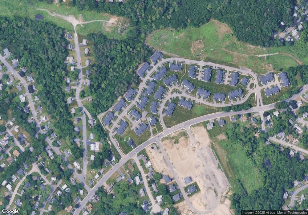
Map
Nearby Homes
- 7 Grace Rd
- 21 Derby Dr Unit 21
- 500 Lexington St Unit 6
- 16 Winning Farm Rd Unit 16
- 14 Liana St
- 19 Gershon Way Unit 1
- 19 Gershon Way
- 41 Squire Rd
- 7 Thornberry Rd
- 2 Howard Ct
- 14 Nassau Dr
- 49 Duren Ave
- 15 Peachtree Rd
- 212 Cambridge Rd
- 20 Amberwood Dr
- 15 Crescent Rd
- 26 Berkshire Dr
- 22 Tyler Rd
- 9 Pond Terrace
- 8 Blueberry Ln
- 299 Lexington St
- 299 Lexington St Unit 4
- 299 Lexington St Unit 3
- 299 Lexington St Unit 72
- 299 Lexington St Unit 27
- 299 Lexington St Unit 31
- 299 Lexington St Unit 7
- 299 Lexington St Unit 24
- 299 Lexington St Unit 112
- 299 Lexington St Unit 28
- 299 Lexington St Unit 23
- 299 Lexington St Unit 10
- 299 Lexington St Unit 26
- 299 Lexington St Unit 14
- 299 Lexington St Unit 2
- 299 Lexington St Unit 6
- 299 Lexington St Unit 8
- 299 Lexington St Unit 5
- 299 Lexington St Unit 1
- 299 Lexington St Unit 21