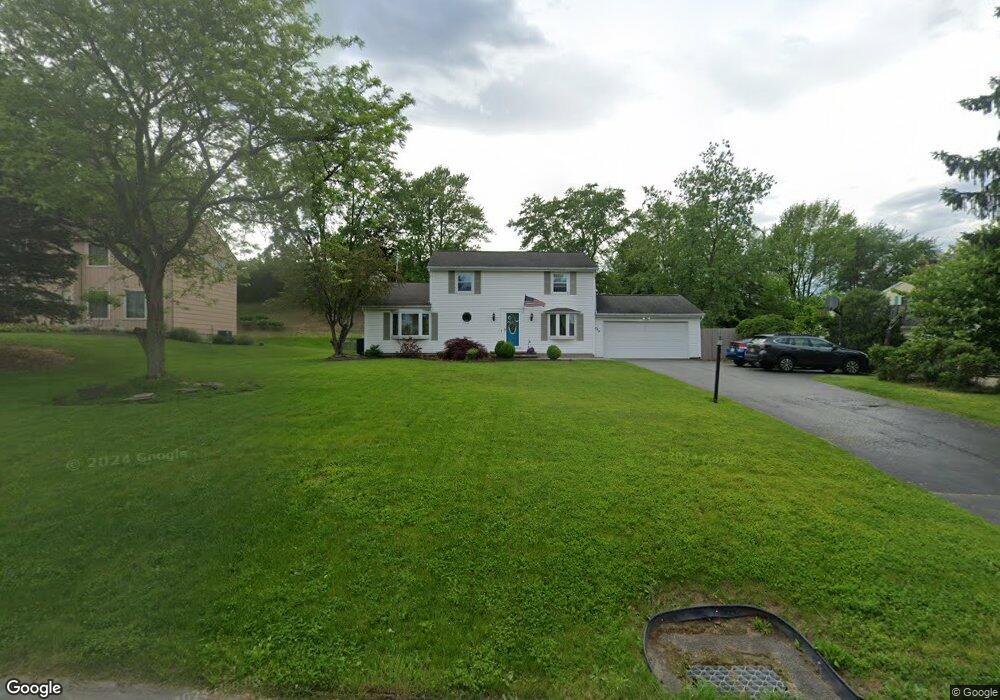
299 Lyndon Rd Fairport, NY 14450
Estimated Value: $337,000 - $411,000
3
Beds
4
Baths
1,920
Sq Ft
$203/Sq Ft
Est. Value
About This Home
This home is located at 299 Lyndon Rd, Fairport, NY 14450 and is currently estimated at $389,874, approximately $203 per square foot. 299 Lyndon Rd is a home located in Monroe County with nearby schools including Dudley School, Northside School, and Martha Brown Middle School.
Ownership History
Date
Name
Owned For
Owner Type
Purchase Details
Closed on
Aug 26, 2005
Sold by
Miranda Edgar
Bought by
Scarantino Salvatore
Current Estimated Value
Home Financials for this Owner
Home Financials are based on the most recent Mortgage that was taken out on this home.
Original Mortgage
$175,000
Outstanding Balance
$92,623
Interest Rate
5.68%
Mortgage Type
VA
Estimated Equity
$297,251
Purchase Details
Closed on
May 14, 2003
Sold by
Strowe Orin
Bought by
Miranda Edgar
Create a Home Valuation Report for This Property
The Home Valuation Report is an in-depth analysis detailing your home's value as well as a comparison with similar homes in the area
Home Values in the Area
Average Home Value in this Area
Purchase History
| Date | Buyer | Sale Price | Title Company |
|---|---|---|---|
| Scarantino Salvatore | $185,000 | -- | |
| Miranda Edgar | $174,000 | D. Scott Young |
Source: Public Records
Mortgage History
| Date | Status | Borrower | Loan Amount |
|---|---|---|---|
| Open | Scarantino Salvatore | $175,000 |
Source: Public Records
Tax History Compared to Growth
Tax History
| Year | Tax Paid | Tax Assessment Tax Assessment Total Assessment is a certain percentage of the fair market value that is determined by local assessors to be the total taxable value of land and additions on the property. | Land | Improvement |
|---|---|---|---|---|
| 2024 | $7,509 | $211,800 | $43,200 | $168,600 |
| 2023 | $7,451 | $211,800 | $43,200 | $168,600 |
| 2022 | $7,526 | $211,800 | $43,200 | $168,600 |
| 2021 | $7,511 | $211,800 | $43,200 | $168,600 |
| 2020 | $6,677 | $211,800 | $43,200 | $168,600 |
| 2019 | $6,127 | $211,800 | $43,200 | $168,600 |
| 2018 | $6,445 | $211,800 | $43,200 | $168,600 |
| 2017 | $3,981 | $196,100 | $43,200 | $152,900 |
| 2016 | $6,127 | $196,100 | $43,200 | $152,900 |
| 2015 | -- | $196,100 | $43,200 | $152,900 |
| 2014 | -- | $196,100 | $43,200 | $152,900 |
Source: Public Records
Map
Nearby Homes
- 0 Lyndon Rd
- 10 Matthew Dr
- 43 Lyndon Rd
- 5 Noahs Bluff
- 4 Noahs Bluff
- 8 Noahs Bluff
- 9 Gentian Way
- 6 Noahs Bluff
- 102 Broadmoor Trail
- 28 Winchester Dr
- 29 Bridgewood Dr
- 4 Triton Ct
- 12 Falling Brook Rd
- 31 Belinda Crescent
- 43 Hollingham Rise
- 4 Arbor Ct
- 10 Mildenhall Ridge
- 26 Hampton Ln
- 71 Chadwick Manor
- 29 Copper Beech Run
- 295 Lyndon Rd
- 303 Lyndon Rd
- 307 Lyndon Rd
- 1 Knapps Cir
- 24 Waterford Way
- 28 Waterford Way
- 20 Waterford Way
- 2 Wheatfield Cir
- 18 Waterford Way
- 4 Wheatfield Cir
- 311 Lyndon Rd
- 3 Knapps Cir
- 32 Waterford Way
- 16 Waterford Way
- 315 Lyndon Rd
- 6 Wheatfield Cir
- 5 Knapps Cir
- 34 Waterford Way
- 12 Waterford Way
- 3 Wheatfield Cir