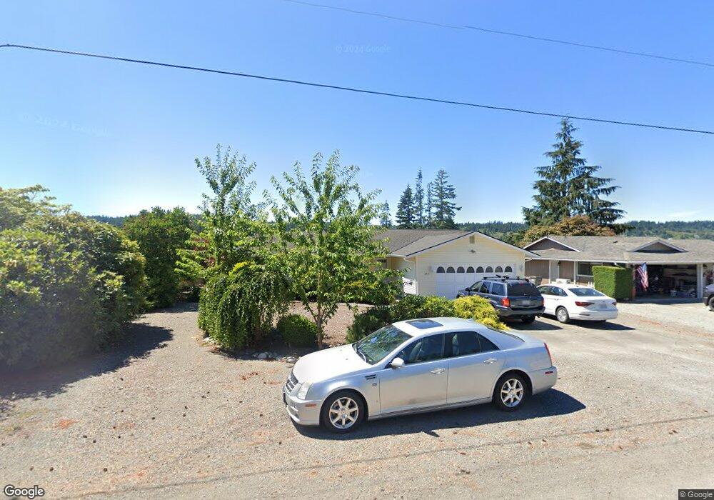
299 Mackenzie Dr Camano Island, WA 98282
Estimated Value: $535,000 - $589,000
2
Beds
2
Baths
1,459
Sq Ft
$386/Sq Ft
Est. Value
About This Home
This home is located at 299 Mackenzie Dr, Camano Island, WA 98282 and is currently estimated at $563,368, approximately $386 per square foot. 299 Mackenzie Dr is a home located in Island County with nearby schools including Utsalady Elementary School, Port Susan Middle School, and Stanwood High School.
Ownership History
Date
Name
Owned For
Owner Type
Purchase Details
Closed on
Nov 25, 2003
Sold by
Irby Maxine C
Bought by
Birdseye Robert W and Birdseye Karen M
Current Estimated Value
Home Financials for this Owner
Home Financials are based on the most recent Mortgage that was taken out on this home.
Original Mortgage
$90,100
Outstanding Balance
$42,217
Interest Rate
6.04%
Mortgage Type
Seller Take Back
Estimated Equity
$521,151
Create a Home Valuation Report for This Property
The Home Valuation Report is an in-depth analysis detailing your home's value as well as a comparison with similar homes in the area
Home Values in the Area
Average Home Value in this Area
Purchase History
| Date | Buyer | Sale Price | Title Company |
|---|---|---|---|
| Birdseye Robert W | -- | -- |
Source: Public Records
Mortgage History
| Date | Status | Borrower | Loan Amount |
|---|---|---|---|
| Open | Birdseye Robert W | $90,100 |
Source: Public Records
Tax History Compared to Growth
Tax History
| Year | Tax Paid | Tax Assessment Tax Assessment Total Assessment is a certain percentage of the fair market value that is determined by local assessors to be the total taxable value of land and additions on the property. | Land | Improvement |
|---|---|---|---|---|
| 2024 | $3,910 | $495,872 | $250,000 | $245,872 |
| 2023 | $3,910 | $499,274 | $250,000 | $249,274 |
| 2022 | $3,447 | $438,805 | $210,000 | $228,805 |
| 2021 | $3,218 | $363,962 | $165,000 | $198,962 |
| 2020 | $3,114 | $328,673 | $135,000 | $193,673 |
| 2019 | $2,821 | $313,736 | $175,000 | $138,736 |
| 2018 | $2,580 | $284,191 | $145,000 | $139,191 |
| 2017 | $2,207 | $240,101 | $100,000 | $140,101 |
| 2016 | $2,110 | $226,920 | $85,000 | $141,920 |
| 2015 | $2,077 | $208,347 | $65,000 | $143,347 |
| 2013 | -- | $202,154 | $55,000 | $147,154 |
Source: Public Records
Map
Nearby Homes
- 269 E Lochwood Dr
- 335 Heather Dr
- 230 Heather Dr
- 302 Melrose Dr
- 0 E Shumway Rd
- 355 Selkirk Dr
- 474 Stirling Dr
- 362 N Sunrise Blvd
- 105 N Sunrise Blvd
- 251 Goodrich Rd
- 245 David St
- 244 David St
- 0 Dodge Rd Unit NWM2434437
- 0 Dodge Rd Unit NWM2434435
- 563 Waynes Ridge Cir
- 441 Windsun Way
- 230 Rocky Mountain High Rd
- 870 Cambell Dr
- 185 Chick Rd
- 25 Anadar Place
- 293 Mackenzie Dr
- 305 Mackenzie Dr
- 296 Camaloch Dr
- 302 Camaloch Dr
- 290 Camaloch Dr
- 289 Mackenzie Dr
- 311 Mackenzie Dr
- 300 Mackenzie Dr
- 310 Camaloch Dr
- 296 Mackenzie Dr
- 306 Mackenzie Dr
- 284 Camaloch Dr
- 0 Lot 17 Mackenzie Dr
- 290 Mackenzie Dr
- 317 Mackenzie Dr
- 281 Mackenzie Dr
- 314 Camaloch Dr
- 278 Camaloch Dr
- 284 Mackenzie Dr
- 275 E Meadow Dr