299 Main St South Dennis, MA 02660
West Dennis NeighborhoodEstimated Value: $3,227,000 - $4,540,000
4
Beds
4
Baths
4,561
Sq Ft
$815/Sq Ft
Est. Value
About This Home
This home is located at 299 Main St, South Dennis, MA 02660 and is currently estimated at $3,715,640, approximately $814 per square foot. 299 Main St is a home located in Barnstable County with nearby schools including Dennis-Yarmouth Regional High School and St. Pius X. School.
Ownership History
Date
Name
Owned For
Owner Type
Purchase Details
Closed on
Apr 18, 2007
Sold by
Crowell Debbie and Crowell Edward A
Bought by
Collart Lucien
Current Estimated Value
Purchase Details
Closed on
Feb 28, 1995
Sold by
Lohr Rt and Lohr A Craig
Bought by
Crowell Edward
Purchase Details
Closed on
Oct 8, 1993
Sold by
Demello George and Demello Claire M
Bought by
Shea Ralph A and Sullivan Charlotte
Home Financials for this Owner
Home Financials are based on the most recent Mortgage that was taken out on this home.
Original Mortgage
$297,500
Interest Rate
6.9%
Mortgage Type
Purchase Money Mortgage
Create a Home Valuation Report for This Property
The Home Valuation Report is an in-depth analysis detailing your home's value as well as a comparison with similar homes in the area
Home Values in the Area
Average Home Value in this Area
Purchase History
| Date | Buyer | Sale Price | Title Company |
|---|---|---|---|
| Collart Lucien | $2,300,000 | -- | |
| Collart Lucien | $2,300,000 | -- | |
| Crowell Edward | $35,000 | -- | |
| Shea Ralph A | $425,000 | -- |
Source: Public Records
Mortgage History
| Date | Status | Borrower | Loan Amount |
|---|---|---|---|
| Previous Owner | Shea Ralph A | $200,000 | |
| Previous Owner | Shea Ralph A | $297,500 |
Source: Public Records
Tax History Compared to Growth
Tax History
| Year | Tax Paid | Tax Assessment Tax Assessment Total Assessment is a certain percentage of the fair market value that is determined by local assessors to be the total taxable value of land and additions on the property. | Land | Improvement |
|---|---|---|---|---|
| 2025 | $13,640 | $3,150,200 | $1,046,300 | $2,103,900 |
| 2024 | $13,341 | $3,038,900 | $1,006,200 | $2,032,700 |
| 2023 | $12,975 | $2,778,300 | $925,400 | $1,852,900 |
| 2022 | $12,471 | $2,227,000 | $833,600 | $1,393,400 |
| 2021 | $12,035 | $1,995,900 | $855,200 | $1,140,700 |
| 2020 | $11,566 | $1,896,000 | $817,200 | $1,078,800 |
| 2019 | $10,984 | $1,780,300 | $801,300 | $979,000 |
| 2018 | $12,196 | $1,923,700 | $975,600 | $948,100 |
| 2017 | $11,831 | $1,923,700 | $975,600 | $948,100 |
| 2016 | $12,399 | $1,898,800 | $1,082,000 | $816,800 |
| 2015 | $12,152 | $1,898,800 | $1,082,000 | $816,800 |
| 2014 | $11,922 | $1,877,500 | $1,082,000 | $795,500 |
Source: Public Records
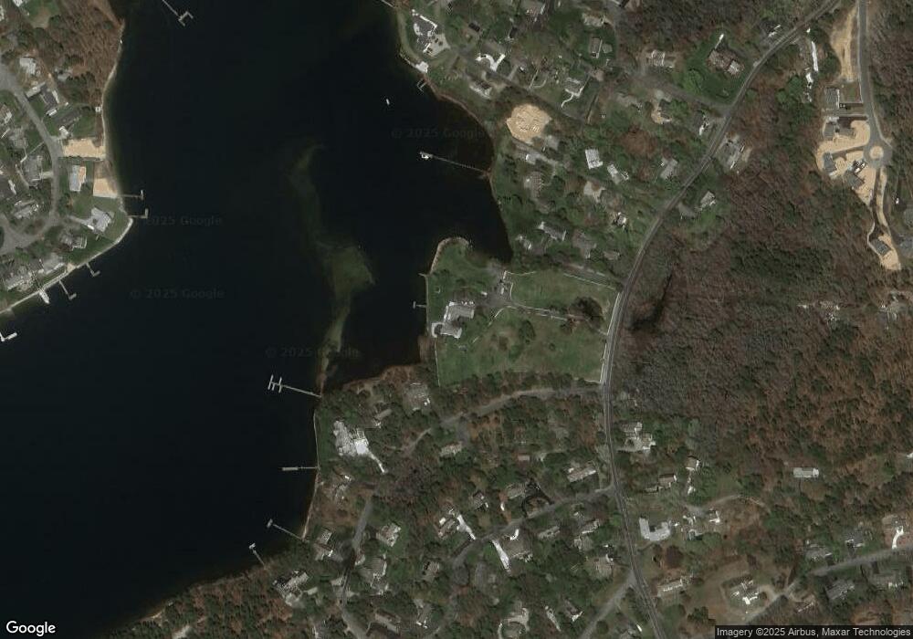
Map
Nearby Homes
- 295 Main St
- 293 Main St
- 293 Main St
- 30 Captain Nickerson Ln
- 401 Main St Unit 201
- 401 Main St Unit 101
- 31 Duck Pond Rd
- 26 Willowford Rd
- 18 Curve Hill Rd
- 3 Jennifer Ln
- 3 Pinefield Ln
- 26 Center St
- 29 Highland St
- 8 Viking Rock Rd
- 23 Fairwood Rd
- 21 Green Way
- 32 Half Way
- 18 Rangeley Ln
- 18 Rangely Ln
- 91 Chipping Green Cir