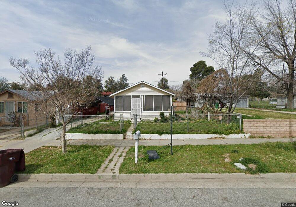
299 N 6th St Banning, CA 92220
Estimated Value: $245,000 - $295,000
2
Beds
1
Bath
600
Sq Ft
$442/Sq Ft
Est. Value
About This Home
This home is located at 299 N 6th St, Banning, CA 92220 and is currently estimated at $265,061, approximately $441 per square foot. 299 N 6th St is a home located in Riverside County with nearby schools including Banning High School.
Ownership History
Date
Name
Owned For
Owner Type
Purchase Details
Closed on
Jun 22, 2007
Sold by
Canela Manuel Y
Bought by
Canela Manuel Y and Manuel Y Canela Living Trust
Current Estimated Value
Purchase Details
Closed on
Mar 7, 1998
Sold by
Lucas Vera and Stark Joyce L
Bought by
Canela Manuel Y
Home Financials for this Owner
Home Financials are based on the most recent Mortgage that was taken out on this home.
Original Mortgage
$24,000
Outstanding Balance
$4,453
Interest Rate
7.18%
Estimated Equity
$260,608
Purchase Details
Closed on
Aug 24, 1997
Sold by
Stark Harold
Bought by
Stark Joyce L
Create a Home Valuation Report for This Property
The Home Valuation Report is an in-depth analysis detailing your home's value as well as a comparison with similar homes in the area
Home Values in the Area
Average Home Value in this Area
Purchase History
| Date | Buyer | Sale Price | Title Company |
|---|---|---|---|
| Canela Manuel Y | -- | None Available | |
| Canela Manuel Y | $36,000 | Gateway Title Company | |
| Stark Joyce L | -- | Gateway Title Company | |
| Lucas Vera | -- | Gateway Title Company |
Source: Public Records
Mortgage History
| Date | Status | Borrower | Loan Amount |
|---|---|---|---|
| Open | Canela Manuel Y | $24,000 |
Source: Public Records
Tax History
| Year | Tax Paid | Tax Assessment Tax Assessment Total Assessment is a certain percentage of the fair market value that is determined by local assessors to be the total taxable value of land and additions on the property. | Land | Improvement |
|---|---|---|---|---|
| 2025 | $837 | $57,444 | $15,947 | $41,497 |
| 2023 | $837 | $55,216 | $15,329 | $39,887 |
| 2022 | $820 | $54,134 | $15,029 | $39,105 |
| 2021 | $805 | $53,074 | $14,735 | $38,339 |
| 2020 | $796 | $52,530 | $14,584 | $37,946 |
| 2019 | $784 | $51,501 | $14,299 | $37,202 |
| 2018 | $778 | $50,492 | $14,019 | $36,473 |
| 2017 | $764 | $49,503 | $13,745 | $35,758 |
| 2016 | $728 | $48,533 | $13,476 | $35,057 |
| 2015 | $718 | $47,807 | $13,275 | $34,532 |
| 2014 | $713 | $46,872 | $13,016 | $33,856 |
Source: Public Records
Map
Nearby Homes
- 640 W Nicolet St
- 457 W Nicolet St
- 437 W Ramsey St
- 979 W Nicolet St
- 831 W George St
- 661 N 4th St
- 57 S 3rd St
- 1137 W Williams St
- 1117 W Hays St
- 693 W Wilson St
- 1174 W Hays St
- 0 E Ramsey St Unit IG26076411
- 333 N Murray St
- 526 W Hoffer St
- 0 Cabazon Unit CV26001873
- 0 Cabazon Unit CV25280859
- 0 Gorgonio Rd Unit SW25208341
- 266 N 14th St
- 296 N Alessandro St
- 1078 W King St
Your Personal Tour Guide
Ask me questions while you tour the home.