Estimated Value: $334,000
2
Beds
1
Bath
936
Sq Ft
$357/Sq Ft
Est. Value
About This Home
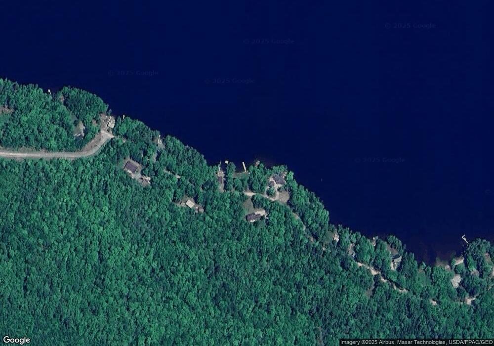
This home is located at 299 Patten Pond Rd, Surry, ME 04684 and is currently estimated at $334,000, approximately $356 per square foot. 299 Patten Pond Rd is a home located in Hancock County with nearby schools including Surry Elementary School.
Ownership History
Date
Name
Owned For
Owner Type
Purchase Details
Closed on
Oct 1, 2020
Sold by
Wilbur A Saunders Ft and Jones
Bought by
Chace Mary E
Current Estimated Value
Home Financials for this Owner
Home Financials are based on the most recent Mortgage that was taken out on this home.
Original Mortgage
$100,000
Outstanding Balance
$88,945
Interest Rate
2.9%
Mortgage Type
New Conventional
Estimated Equity
$245,055
Purchase Details
Closed on
Apr 21, 2016
Sold by
Poulin Thomas G
Bought by
Poulin Gerald T and Poulin Brenda L
Purchase Details
Closed on
Nov 9, 2007
Sold by
Nuss Marcel and Nuss Donna L
Bought by
Poulin Thomas G
Home Financials for this Owner
Home Financials are based on the most recent Mortgage that was taken out on this home.
Original Mortgage
$278,350
Interest Rate
6.47%
Mortgage Type
FHA
Create a Home Valuation Report for This Property
The Home Valuation Report is an in-depth analysis detailing your home's value as well as a comparison with similar homes in the area
Home Values in the Area
Average Home Value in this Area
Purchase History
| Date | Buyer | Sale Price | Title Company |
|---|---|---|---|
| Chace Mary E | -- | None Available | |
| Poulin Gerald T | -- | -- | |
| Poulin Thomas G | -- | -- |
Source: Public Records
Mortgage History
| Date | Status | Borrower | Loan Amount |
|---|---|---|---|
| Open | Chace Mary E | $100,000 | |
| Previous Owner | Poulin Thomas G | $278,350 |
Source: Public Records
Tax History Compared to Growth
Tax History
| Year | Tax Paid | Tax Assessment Tax Assessment Total Assessment is a certain percentage of the fair market value that is determined by local assessors to be the total taxable value of land and additions on the property. | Land | Improvement |
|---|---|---|---|---|
| 2024 | $2,779 | $264,200 | $128,900 | $135,300 |
| 2023 | $2,391 | $264,200 | $128,900 | $135,300 |
| 2022 | $2,124 | $260,900 | $128,900 | $132,000 |
| 2021 | $2,184 | $215,800 | $114,700 | $101,100 |
| 2020 | $2,020 | $215,800 | $114,700 | $101,100 |
| 2019 | $1,921 | $214,600 | $114,700 | $99,900 |
| 2018 | $1,899 | $214,600 | $114,700 | $99,900 |
| 2017 | $1,856 | $214,600 | $114,700 | $99,900 |
| 2016 | $1,835 | $214,600 | $114,700 | $99,900 |
| 2015 | $1,556 | $214,600 | $114,700 | $99,900 |
| 2014 | $1,588 | $214,600 | $114,700 | $99,900 |
| 2013 | $1,588 | $214,600 | $114,700 | $99,900 |
Source: Public Records
Map
Nearby Homes
- M035L11-14 Lord Ave
- Lot 48-2-8 Mayflower Way
- Lot 1-7 Manhattan Way
- 1101
- 4 Addie Rd
- 36 Addie Rd
- 664 Bucksport Rd
- 9 Meadow Brook Ln
- Lot #15 Toddy Pond Rd
- 10-10 Toddy Pond Rd
- Map 38 Lot 11
- 00 Bucksport Rd
- Lot #1 Bucksport Rd
- 775 Red Bridge Rd
- 817 Red Bridge Rd
- 1118 Surry Rd
- 928 Red Bridge Rd
- 0 Bangor Rd
- 498 Bangor Rd
- Lot 37 Wedge Heights
- 307 Patten Pond Rd
- 298 Patten Pond Rd
- 316 Patten Pond Rd
- 285 Patten Pond Rd
- 327 Patten Pond Rd
- 326 Patten Pond Rd
- 271 Patten Pond Rd
- 339 Patten Pond Rd
- 346 Patten Pond Rd
- 263 Patten Pond Rd
- 249 Patten Pond Rd
- 241 Patten Pond Rd
- 231 Patten Pond Rd
- 4 Loon Call Ln
- 8 Loon Call Ln
- 223 Patten Pond Rd
- 18 Loon Call Ln
- 12 Decatur Ln
- 30 Loon Call Ln
- 205 Patten Pond Rd
